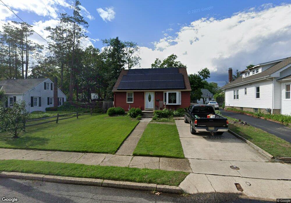
349 W Evesham Rd Runnemede, NJ 08078
Estimated Value: $263,226 - $290,000
Studio
--
Bath
1,080
Sq Ft
$259/Sq Ft
Est. Value
About This Home
This home is located at 349 W Evesham Rd, Runnemede, NJ 08078 and is currently estimated at $279,807, approximately $259 per square foot. 349 W Evesham Rd is a home located in Camden County with nearby schools including Mary E. Volz Elementary School, Bingham Elementary School, and Triton High School.
Ownership History
Date
Name
Owned For
Owner Type
Purchase Details
Closed on
Oct 10, 2003
Sold by
Shimak Charles
Bought by
Macferren Laurie
Current Estimated Value
Home Financials for this Owner
Home Financials are based on the most recent Mortgage that was taken out on this home.
Original Mortgage
$99,655
Interest Rate
6.03%
Create a Home Valuation Report for This Property
The Home Valuation Report is an in-depth analysis detailing your home's value as well as a comparison with similar homes in the area
Home Values in the Area
Average Home Value in this Area
Purchase History
| Date | Buyer | Sale Price | Title Company |
|---|---|---|---|
| Macferren Laurie | $104,900 | -- |
Source: Public Records
Mortgage History
| Date | Status | Borrower | Loan Amount |
|---|---|---|---|
| Previous Owner | Macferren Laurie | $99,655 |
Source: Public Records
Tax History
| Year | Tax Paid | Tax Assessment Tax Assessment Total Assessment is a certain percentage of the fair market value that is determined by local assessors to be the total taxable value of land and additions on the property. | Land | Improvement |
|---|---|---|---|---|
| 2025 | $5,164 | $114,600 | $39,100 | $75,500 |
| 2024 | $5,007 | $114,600 | $39,100 | $75,500 |
| 2023 | $5,007 | $114,600 | $39,100 | $75,500 |
| 2022 | $4,848 | $114,600 | $39,100 | $75,500 |
| 2021 | $4,487 | $114,600 | $39,100 | $75,500 |
| 2020 | $4,686 | $114,600 | $39,100 | $75,500 |
| 2019 | $4,600 | $114,600 | $39,100 | $75,500 |
| 2018 | $4,512 | $114,600 | $39,100 | $75,500 |
| 2017 | $4,396 | $114,600 | $39,100 | $75,500 |
| 2016 | $4,341 | $114,600 | $39,100 | $75,500 |
| 2015 | $4,354 | $114,600 | $39,100 | $75,500 |
| 2014 | $4,298 | $114,600 | $39,100 | $75,500 |
Source: Public Records
Map
Nearby Homes
- 1050 Woodland Ave
- 37 S Read Ave
- 535 Roosevelt Ave
- 102 W Clements Bridge Rd
- 14 E Evesham Rd
- 200 Austin Ave
- 924 W Evesham Rd
- 30 12th Ave
- 60 N Oakland Ave
- 535 Main St
- 1000 Central Ave
- 420 Zane Ave
- 428 Arline Ave
- 167 Singley Ave
- 810 Central Ave
- 329 Ridge Ave
- 112 Lindsey Ave
- 32 Lake Ave
- 411 Center Ave
- 408 W 3rd Ave
- 345 W Evesham Rd
- 353 W Evesham Rd
- 315 Phillips Ave
- 335 W Evesham Rd
- 311 Phillips Ave
- 412 W Evesham Rd
- 406 W Evesham Rd
- 329 W Evesham Rd
- 416 W Evesham Rd
- 330 Phillips Ave
- 402 W Evesham Rd
- 336 Phillips Ave
- 320 Phillips Ave
- 405 W Evesham Rd
- 380 Shisler Cir
- 376 Shisler Cir
- 321 W Evesham Rd
- 316 Phillips Ave
- 1028 Highland Ave
- 1037 Fern Ave
Your Personal Tour Guide
Ask me questions while you tour the home.