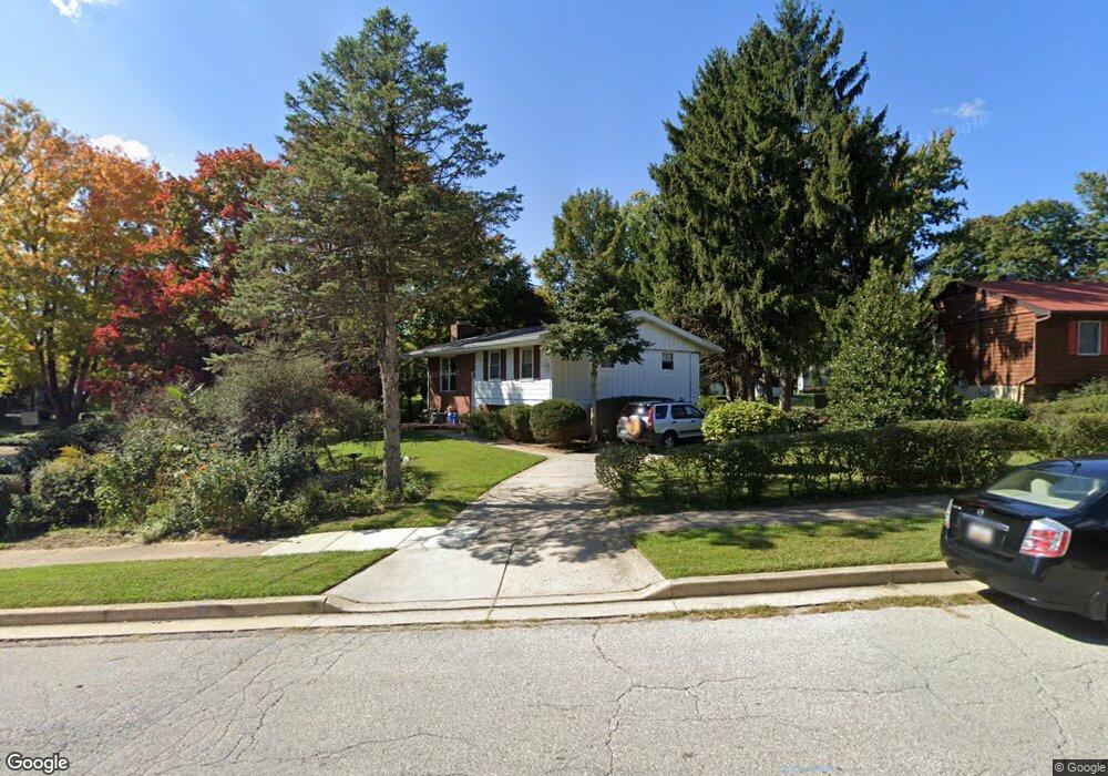
349 Walgrove Rd Reisterstown, MD 21136
Estimated Value: $306,000 - $346,000
--
Bed
2
Baths
1,052
Sq Ft
$312/Sq Ft
Est. Value
About This Home
This home is located at 349 Walgrove Rd, Reisterstown, MD 21136 and is currently estimated at $328,522, approximately $312 per square foot. 349 Walgrove Rd is a home located in Baltimore County with nearby schools including Reisterstown Elementary, Franklin Middle, and Franklin High.
Ownership History
Date
Name
Owned For
Owner Type
Purchase Details
Closed on
Jun 24, 1994
Sold by
Zolonas Frederick C
Bought by
Dipietro Mary C
Current Estimated Value
Home Financials for this Owner
Home Financials are based on the most recent Mortgage that was taken out on this home.
Original Mortgage
$61,000
Interest Rate
8.74%
Purchase Details
Closed on
Jun 23, 1978
Sold by
Owings William J
Bought by
Zolonas Frederick C
Create a Home Valuation Report for This Property
The Home Valuation Report is an in-depth analysis detailing your home's value as well as a comparison with similar homes in the area
Home Values in the Area
Average Home Value in this Area
Purchase History
| Date | Buyer | Sale Price | Title Company |
|---|---|---|---|
| Dipietro Mary C | $111,000 | -- | |
| Zolonas Frederick C | $53,800 | -- |
Source: Public Records
Mortgage History
| Date | Status | Borrower | Loan Amount |
|---|---|---|---|
| Closed | Dipietro Mary C | $61,000 |
Source: Public Records
Tax History Compared to Growth
Tax History
| Year | Tax Paid | Tax Assessment Tax Assessment Total Assessment is a certain percentage of the fair market value that is determined by local assessors to be the total taxable value of land and additions on the property. | Land | Improvement |
|---|---|---|---|---|
| 2025 | $3,630 | $263,300 | -- | -- |
| 2024 | $3,630 | $244,700 | $52,900 | $191,800 |
| 2023 | $1,727 | $235,333 | $0 | $0 |
| 2022 | $3,251 | $225,967 | $0 | $0 |
| 2021 | $3,064 | $216,600 | $52,900 | $163,700 |
| 2020 | $3,064 | $206,867 | $0 | $0 |
| 2019 | $2,836 | $197,133 | $0 | $0 |
| 2018 | $2,750 | $187,400 | $52,900 | $134,500 |
| 2017 | $2,701 | $182,300 | $0 | $0 |
| 2016 | $2,430 | $177,200 | $0 | $0 |
| 2015 | $2,430 | $172,100 | $0 | $0 |
| 2014 | $2,430 | $172,100 | $0 | $0 |
Source: Public Records
Map
Nearby Homes
- 215 Greenview Ave
- 13 Bellinger Ct
- 208 Parkholme Cir
- 105 Fitz Ct Unit 202
- 101 Fitz Ct Unit 202
- 105 Fitz Ct Unit 101
- 611 Brickston Rd
- 203 Cork Ln Unit T4
- 10 Simpson Ct
- 570 Kennington Rd
- 18 Austin Rd
- 9 Cherry Manor Ct
- 118 Mardan Dr
- 237 Candytuft Rd
- 1 Brampton Ct
- 10944 Baskerville Rd
- 26 Mission Wood Way
- 225 Highmeadow Rd
- 7 Putman Ct
- 22 Fox Run Ct
- 347 Walgrove Rd
- 839 Ivydale Ave
- 837 Ivydale Ave
- 345 Walgrove Rd
- 916 Shirley Manor Rd
- 348 Walgrove Rd
- 223 Conewood Ave
- 835 Ivydale Ave
- 346 Walgrove Rd
- 918 Shirley Manor Rd
- 835 Ivydale Rd
- 343 Walgrove Rd
- 301 Holly Hill Rd
- 833 Ivydale Ave
- 902 Chariot Rd
- 221 Conewood Ave
- 921 Shirley Manor Rd
- 830 Ivydale Ave
- 341 Walgrove Rd
- 828 Ivydale Ave