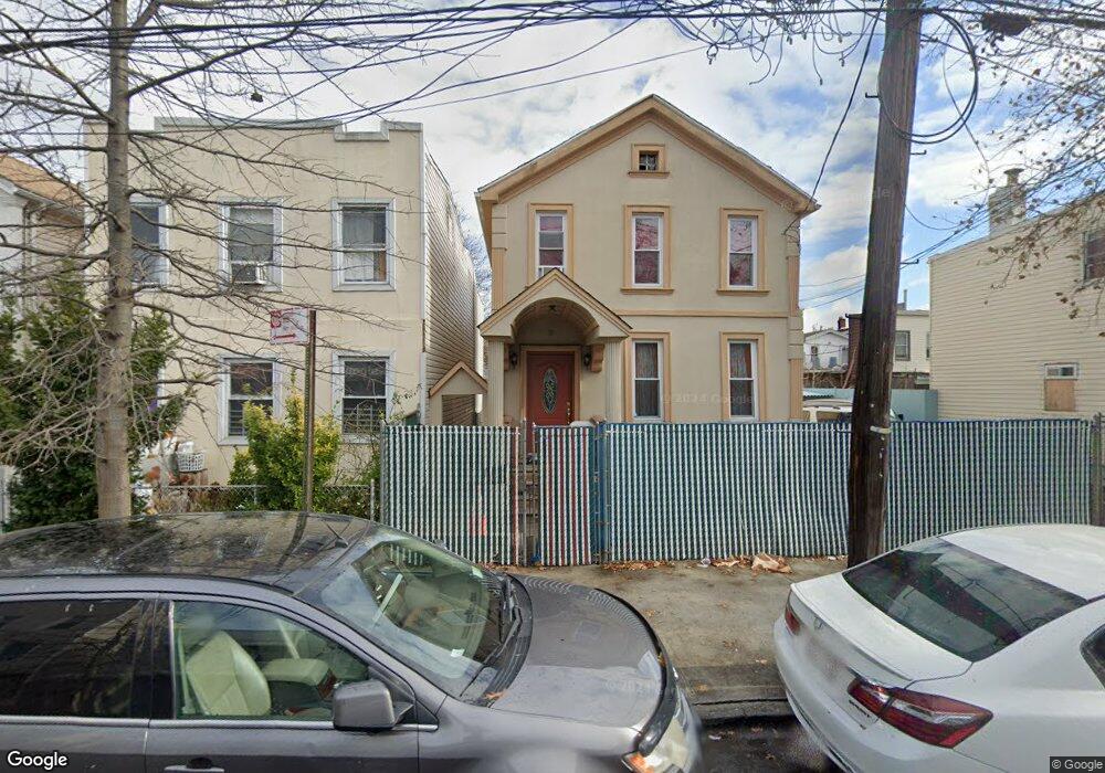
349 Warwick St Brooklyn, NY 11207
East New York NeighborhoodEstimated Value: $1,190,000
--
Bed
--
Bath
1,260
Sq Ft
$944/Sq Ft
Est. Value
About This Home
This home is located at 349 Warwick St, Brooklyn, NY 11207 and is currently estimated at $1,190,000, approximately $944 per square foot. 349 Warwick St is a home located in Kings County with nearby schools including P.S. 158 Warwick, Liberty Avenue Middle School, and Vista Academy.
Ownership History
Date
Name
Owned For
Owner Type
Purchase Details
Closed on
Apr 14, 2004
Sold by
Blair Agnes
Bought by
Yansen Lawrence
Current Estimated Value
Purchase Details
Closed on
Aug 12, 1998
Sold by
Estate Of Theresa Devivo and Devivo Artilia Amelia
Bought by
Blair Agnes
Home Financials for this Owner
Home Financials are based on the most recent Mortgage that was taken out on this home.
Original Mortgage
$140,600
Interest Rate
6.7%
Mortgage Type
Commercial
Create a Home Valuation Report for This Property
The Home Valuation Report is an in-depth analysis detailing your home's value as well as a comparison with similar homes in the area
Home Values in the Area
Average Home Value in this Area
Purchase History
| Date | Buyer | Sale Price | Title Company |
|---|---|---|---|
| Yansen Lawrence | -- | -- | |
| Yansen Lawrence | -- | -- | |
| Blair Agnes | $148,000 | First American Title Ins Co | |
| Blair Agnes | $148,000 | First American Title Ins Co |
Source: Public Records
Mortgage History
| Date | Status | Borrower | Loan Amount |
|---|---|---|---|
| Previous Owner | Blair Agnes | $140,600 |
Source: Public Records
Tax History Compared to Growth
Tax History
| Year | Tax Paid | Tax Assessment Tax Assessment Total Assessment is a certain percentage of the fair market value that is determined by local assessors to be the total taxable value of land and additions on the property. | Land | Improvement |
|---|---|---|---|---|
| 2025 | $819 | $10,800 | $4,800 | $6,000 |
| 2024 | $819 | $10,080 | $4,800 | $5,280 |
| 2023 | $828 | $9,720 | $4,800 | $4,920 |
| 2022 | $799 | $8,940 | $4,800 | $4,140 |
| 2021 | $795 | $8,460 | $4,800 | $3,660 |
| 2020 | $373 | $7,800 | $4,800 | $3,000 |
| 2019 | $711 | $7,800 | $4,800 | $3,000 |
| 2018 | $693 | $3,399 | $2,406 | $993 |
| 2017 | $680 | $3,336 | $2,542 | $794 |
| 2016 | $629 | $3,148 | $2,651 | $497 |
| 2015 | $380 | $2,971 | $2,519 | $452 |
| 2014 | $380 | $2,833 | $2,402 | $431 |
Source: Public Records
Map
Nearby Homes
- 288 Ashford St
- 278 Ashford St
- 295 Ashford St
- 633 Glenmore Ave
- 389 Warwick St
- 253 Ashford St
- 323 Barbey St
- 590 Liberty Ave
- 599 Liberty Ave
- 597 Liberty Ave
- 2321 Pitkin Ave
- 339 Elton St Unit 341
- 349 Elton St
- 400 Linwood St
- 374 Ashford St
- 399 Linwood St
- 576 Glenmore Ave
- 572 Glenmore Ave
- 396 Barbey St
- 303 Hendrix St
- 351 Warwick St
- 347 Warwick St
- 353 Warwick St
- 345 Warwick St
- 345 Warwick St Unit 1st Fl
- 294 Ashford St
- 286 Ashford St
- 296 Ashford St
- 284 Ashford St
- 357 Warwick St
- 357 Warwick St Unit 2
- 343 Warwick St
- 300 Ashford St
- 341 Warwick St
- 341 Warwick St Unit Building
- 282 Ashford St
- 302 Ashford St
- 335 Warwick St Unit 2
- 640-642 Liberty Ave
- 661 Glenmore Ave