349 West Side Ln Clinton, NC 28328
Estimated Value: $343,000 - $497,122
4
Beds
3
Baths
2,862
Sq Ft
$146/Sq Ft
Est. Value
About This Home
This home is located at 349 West Side Ln, Clinton, NC 28328 and is currently estimated at $418,374, approximately $146 per square foot. 349 West Side Ln is a home with nearby schools including Midway Elementary School, Midway Middle School, and Midway High School.
Ownership History
Date
Name
Owned For
Owner Type
Purchase Details
Closed on
Feb 11, 2005
Sold by
Naylor Robert F and Naylor Ann E
Bought by
Heinzman Gerald Thomas
Current Estimated Value
Home Financials for this Owner
Home Financials are based on the most recent Mortgage that was taken out on this home.
Original Mortgage
$201,000
Outstanding Balance
$101,963
Interest Rate
5.72%
Mortgage Type
Purchase Money Mortgage
Estimated Equity
$316,411
Create a Home Valuation Report for This Property
The Home Valuation Report is an in-depth analysis detailing your home's value as well as a comparison with similar homes in the area
Home Values in the Area
Average Home Value in this Area
Purchase History
| Date | Buyer | Sale Price | Title Company |
|---|---|---|---|
| Heinzman Gerald Thomas | $60,000 | -- |
Source: Public Records
Mortgage History
| Date | Status | Borrower | Loan Amount |
|---|---|---|---|
| Open | Heinzman Gerald Thomas | $201,000 |
Source: Public Records
Tax History Compared to Growth
Tax History
| Year | Tax Paid | Tax Assessment Tax Assessment Total Assessment is a certain percentage of the fair market value that is determined by local assessors to be the total taxable value of land and additions on the property. | Land | Improvement |
|---|---|---|---|---|
| 2025 | $3,287 | $418,788 | $35,453 | $383,335 |
| 2024 | $2,952 | $418,788 | $35,453 | $383,335 |
| 2023 | $2,527 | $273,153 | $29,618 | $243,535 |
| 2022 | $2,527 | $273,153 | $29,618 | $243,535 |
| 2021 | $2,527 | $273,153 | $29,618 | $243,535 |
| 2020 | $2,527 | $273,153 | $29,618 | $243,535 |
| 2019 | $2,527 | $273,153 | $0 | $0 |
| 2018 | $2,330 | $251,914 | $0 | $0 |
| 2017 | $2,330 | $251,914 | $0 | $0 |
| 2016 | $2,343 | $251,914 | $0 | $0 |
| 2015 | $2,343 | $251,914 | $0 | $0 |
| 2014 | $2,343 | $251,914 | $0 | $0 |
Source: Public Records
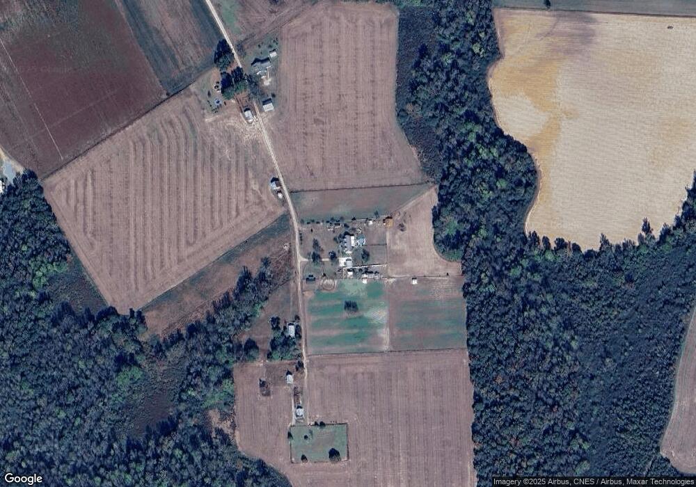
Map
Nearby Homes
- 267 Ed Collins Ln
- 1509 Sampson Acres Dr
- 00 Trail End Ln
- 00 Trail End Ln Unit LotWP001
- 445 Bud Johnson Rd
- 224 Oak Hill Dr
- 762 Share Cake Rd
- 770 Simmons Rd
- 260 Naylor School Rd
- 352 Old Crow Rd
- 13015 Hobbton Hwy
- 3092 Harnett-Dunn Hwy
- 88 Holiday Ln
- 520 Fayetteville St
- 0 Hobbton Hwy Unit 100510708
- Lot 5 Crumpler Lake Ln
- 2534 Parker Memorial Rd
- 381 Royal Rd
- 0 Suttontown Rd
- 10455 U S 701 Hwy
- 2694 Roanoke Rd
- 2690 Roanoke Rd
- 2660 Roanoke Rd
- 2889 Roanoke Rd
- 2653 Roanoke Rd
- 0 State Road 1636
- 2855 Roanoke Rd
- 3016 Roanoke Rd
- 3075 Roanoke Rd
- 2425 Roanoke Rd
- 2427 Roanoke Rd
- 3071 Roanoke Rd
- 2904 Roanoke Rd
- 3053 Roanoke Rd
- 3110 Roanoke Rd
- 178 Loften Rd
- 2259 Roanoke Rd
- 3164 Roanoke Rd
- 2340 Roanoke Rd
- 250 Loften Rd