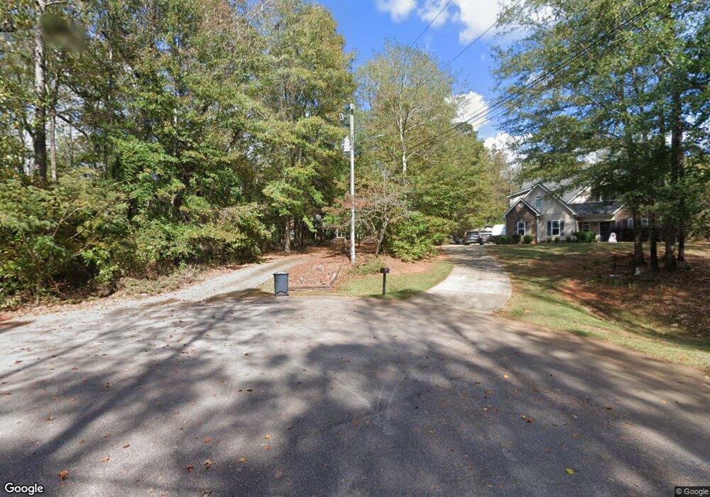
349 Woodfield Cir Lagrange, GA 30240
Estimated Value: $292,634 - $314,000
3
Beds
3
Baths
2,242
Sq Ft
$135/Sq Ft
Est. Value
About This Home
This home is located at 349 Woodfield Cir, Lagrange, GA 30240 and is currently estimated at $303,659, approximately $135 per square foot. 349 Woodfield Cir is a home located in Troup County with nearby schools including Long Cane Elementary School, Berta Weathersbee Elementary School, and Whitesville Road Elementary School.
Ownership History
Date
Name
Owned For
Owner Type
Purchase Details
Closed on
Jul 18, 2014
Sold by
Miles William Turner
Bought by
Miles Sonya Hudgins
Current Estimated Value
Purchase Details
Closed on
Jun 12, 1991
Sold by
Knight & Knight Of Laginc
Bought by
Miles Sonya D and Miles William T
Purchase Details
Closed on
Jan 1, 1973
Sold by
Darden Etal
Bought by
Knight & Knight Of Laginc
Create a Home Valuation Report for This Property
The Home Valuation Report is an in-depth analysis detailing your home's value as well as a comparison with similar homes in the area
Home Values in the Area
Average Home Value in this Area
Purchase History
| Date | Buyer | Sale Price | Title Company |
|---|---|---|---|
| Miles Sonya Hudgins | -- | -- | |
| Miles Sonya D | $11,500 | -- | |
| Knight & Knight Of Laginc | -- | -- |
Source: Public Records
Tax History Compared to Growth
Tax History
| Year | Tax Paid | Tax Assessment Tax Assessment Total Assessment is a certain percentage of the fair market value that is determined by local assessors to be the total taxable value of land and additions on the property. | Land | Improvement |
|---|---|---|---|---|
| 2024 | $2,278 | $85,524 | $14,000 | $71,524 |
| 2023 | $2,047 | $77,044 | $8,000 | $69,044 |
| 2022 | $1,955 | $72,044 | $8,000 | $64,044 |
| 2021 | $1,836 | $62,852 | $8,000 | $54,852 |
| 2020 | $1,836 | $62,852 | $8,000 | $54,852 |
| 2019 | $1,725 | $59,188 | $8,000 | $51,188 |
| 2018 | $1,643 | $56,472 | $8,000 | $48,472 |
| 2017 | $1,643 | $56,472 | $8,000 | $48,472 |
| 2016 | $1,505 | $51,885 | $7,200 | $44,685 |
| 2015 | $1,508 | $51,885 | $7,200 | $44,685 |
| 2014 | $1,439 | $49,534 | $7,200 | $42,334 |
| 2013 | -- | $51,619 | $7,200 | $44,419 |
Source: Public Records
Map
Nearby Homes
- 105 Hawthorne Cir
- 103 Hawthorne Cir
- 110 Hawthorne Cir
- 141 Plymouth Dr
- 100 Huntcliff Ct
- 102 Franklin Place
- 119 Plymouth Dr
- 124 Foxdale Dr
- 190 Hill Rd
- 135 Planters Ridge Dr
- 101 Ivy Springs Dr
- 808 S Fling Rd
- 509 Connie Dr
- 474 Newton Rd
- 40 River Point Dr
- 37 Overbrook Dr
- 0 Bradfield Dr Unit 10568803
- 0 Deming St Unit 10550189
- 22 Freeman Rd
- 61 Freeman Rd
- 351 Woodfield Cir
- 345 & 347 Woodfield
- 345 Woodfield Cir Unit 345&347
- 350 Woodfield Cir
- 401 Woodfield Ct
- 0 Woodfield Ct Unit 8177635
- 0 Woodfield Ct Unit 8559729
- 0 Woodfield Ct
- 400 Woodfield Ct
- 402 Woodfield Ct
- 103 Woodfield Cir
- 407 Woodfield Ct
- 218 Woodfield Cir
- 404 Woodfield Ct
- 216 Woodfield Cir
- 214 Woodfield Dr NW
- 214 Woodfield Cir
- 337 Woodfield Cir
- 213 Woodfield Cir
- 212 Woodfield Cir