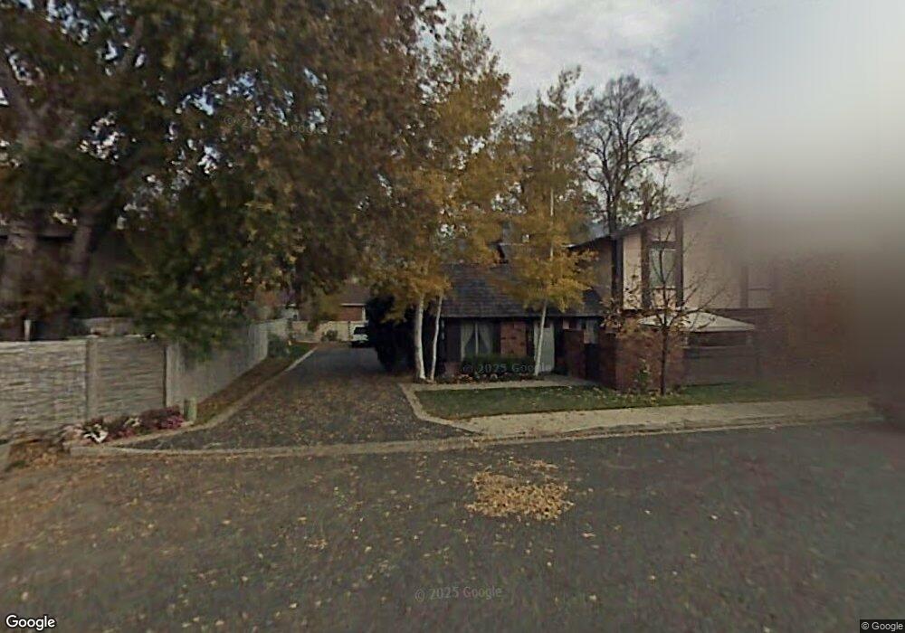
3492 Brookside Dr Provo, UT 84604
Riverside NeighborhoodEstimated Value: $385,000 - $403,000
About This Home
This home is located at 3492 Brookside Dr, Provo, UT 84604 and is currently estimated at $394,202, approximately $293 per square foot. 3492 Brookside Dr is a home located in Utah County with nearby schools including Canyon Crest Elementary School, Centennial Middle School, and Timpview High School.
Ownership History
We collect this data history from publicly available records. To have your information removed, we recommend requesting removal directly through your county’s website.
Purchase Details
Home Financials for this Owner
Home Financials are based on the most recent Mortgage that was taken out on this home.Purchase Details
Home Financials for this Owner
Home Financials are based on the most recent Mortgage that was taken out on this home.Purchase Details
Purchase Details
Purchase Details
Home Values in the Area
Average Home Value in this Area
Purchase History
We collect this data history from publicly available records. To have your information removed, we recommend requesting removal directly through your county’s website.
| Date | Buyer | Sale Price | Title Company |
|---|---|---|---|
| -- | Backman | ||
| -- | Metro National Title Orem | ||
| -- | Mountain West Title Company | ||
| -- | Mountain West Title Company | ||
| -- | Mountain West Title Co | ||
| -- | Mountain West Title Co |
Mortgage History
We collect this data history from publicly available records. To have your information removed, we recommend requesting removal directly through your county’s website.
| Date | Status | Borrower | Loan Amount |
|---|---|---|---|
| Open | $192,000 | ||
| Closed | $12,136 | ||
| Closed | $202,276 | ||
| Previous Owner | $297,000 | ||
| Previous Owner | $134,000 | ||
| Previous Owner | $106,400 |
Tax History
We collect this data history from publicly available records. To have your information removed, we recommend requesting removal directly through your county’s website.
| Year | Tax Paid | Tax Assessment Tax Assessment Total Assessment is a certain percentage of the fair market value that is determined by local assessors to be the total taxable value of land and additions on the property. | Land | Improvement |
|---|---|---|---|---|
| 2026 | $1,991 | $199,815 | ||
| 2025 | $1,944 | $198,770 | ||
| 2024 | $1,944 | $191,400 | $0 | $0 |
| 2023 | $1,993 | $193,380 | $0 | $0 |
| 2022 | $1,874 | $183,370 | $0 | $0 |
| 2021 | $1,576 | $268,900 | $32,300 | $236,600 |
| 2020 | $1,554 | $248,600 | $29,800 | $218,800 |
| 2019 | $1,352 | $225,000 | $26,000 | $199,000 |
| 2018 | $1,268 | $214,000 | $26,000 | $188,000 |
| 2017 | $1,179 | $109,285 | $0 | $0 |
| 2016 | $1,171 | $101,200 | $0 | $0 |
| 2015 | $1,007 | $88,000 | $0 | $0 |
| 2014 | $966 | $88,000 | $0 | $0 |
Map
- 3490 Brookside Dr
- 3480 Brookside Dr
- 3478 Brookside Dr
- 3470 Brookside Dr
- 3472 Brookside Dr
- 3493 Royalwood Cir
- 3506 Glenwood Cir
- 3495 Brookside Dr
- 3460 Brookside Dr
- 3485 Brookside Dr
- 3458 Brookside Dr
- 3506 Glennwood Cir
- 3475 130 W
- 3475 Royalwood Cir
- 3475 Brookside Dr
- 3498 Glenwood Cir
- 3497 Royalwood Cir
- 3497 Brookside Dr
- 3483 Brookside Dr
- 3465 Brookside Dr
Ask me questions while you tour the home.