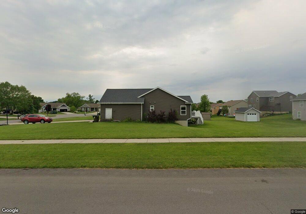
3493 Foxtail Ct Hudsonville, MI 49426
Estimated Value: $436,000 - $533,000
3
Beds
3
Baths
1,525
Sq Ft
$308/Sq Ft
Est. Value
About This Home
This home is located at 3493 Foxtail Ct, Hudsonville, MI 49426 and is currently estimated at $469,123, approximately $307 per square foot. 3493 Foxtail Ct is a home located in Ottawa County with nearby schools including Baldwin Street Middle School, Hudsonville Freshman Campus, and Hudsonville High School.
Ownership History
Date
Name
Owned For
Owner Type
Purchase Details
Closed on
Jul 14, 2011
Sold by
B & G Property Investments Llc
Bought by
Oly John and Oly Daphne
Current Estimated Value
Home Financials for this Owner
Home Financials are based on the most recent Mortgage that was taken out on this home.
Original Mortgage
$148,000
Outstanding Balance
$102,060
Interest Rate
4.56%
Mortgage Type
Construction
Estimated Equity
$367,063
Create a Home Valuation Report for This Property
The Home Valuation Report is an in-depth analysis detailing your home's value as well as a comparison with similar homes in the area
Home Values in the Area
Average Home Value in this Area
Purchase History
| Date | Buyer | Sale Price | Title Company |
|---|---|---|---|
| Oly John | $29,900 | Lighthouse Title Inc |
Source: Public Records
Mortgage History
| Date | Status | Borrower | Loan Amount |
|---|---|---|---|
| Open | Oly John | $148,000 |
Source: Public Records
Tax History Compared to Growth
Tax History
| Year | Tax Paid | Tax Assessment Tax Assessment Total Assessment is a certain percentage of the fair market value that is determined by local assessors to be the total taxable value of land and additions on the property. | Land | Improvement |
|---|---|---|---|---|
| 2025 | $3,053 | $190,200 | $0 | $0 |
| 2024 | $2,642 | $171,200 | $0 | $0 |
| 2023 | $2,523 | $155,400 | $0 | $0 |
| 2022 | $2,773 | $137,000 | $0 | $0 |
| 2021 | $2,694 | $126,900 | $0 | $0 |
| 2020 | $2,666 | $119,400 | $0 | $0 |
| 2019 | $2,670 | $119,300 | $0 | $0 |
| 2018 | $2,489 | $118,100 | $0 | $0 |
| 2017 | $2,444 | $116,300 | $0 | $0 |
| 2016 | $2,430 | $108,700 | $0 | $0 |
| 2015 | $2,319 | $104,600 | $0 | $0 |
| 2014 | $2,319 | $89,900 | $0 | $0 |
Source: Public Records
Map
Nearby Homes
- 3528 Tearose Dr
- 7068 Jasper Dr
- 7318 Alycia Dr
- 3617 Teton Dr
- V/L Port Sheldon St
- 3646 Lenters Dr
- 7313 Valhalla Dr
- 6620 Sheldon Crossings Dr
- 3204 Port Sheldon St
- 6950 Meadowcreek Dr
- 2969 Osprey Dr Unit 27
- 2921 N Wentward Ct
- 4101 Blair St
- 3808 Port Sheldon St
- 6760 N Wentward Ct
- 4106 Blair St
- 7381 Rolling Hills Dr
- 6722 N Wentward Ct Unit 77
- 6714 Cedar Grove W
- 6724 28th Ave
- 3507 Foxtail Ct
- 3485 Foxtail Ct
- 3470 Foxtail Ct
- 3519 Foxtail Ct
- 3466 Foxtail Ct
- 3506 Rosewood St
- 3474 Foxtail Ct
- 3518 Rosewood St
- 3462 Foxtail Ct
- 3482 Foxtail Ct
- 3504 Foxtail Ct
- 3490 Foxtail Ct
- 3525 Foxtail Ct
- 3516 Foxtail Ct
- 3538 Rosewood St
- 3536 Rosewood St
- 3540 Rosewood St
- 6927 Longtail Dr
- 6939 Longtail Dr
- 3534 Foxtail Ct