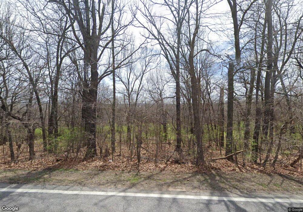
3493 N Highway 112 Fayetteville, AR 72704
Clabber Creek NeighborhoodEstimated Value: $456,000 - $2,688,374
--
Bed
2
Baths
2,304
Sq Ft
$682/Sq Ft
Est. Value
About This Home
This home is located at 3493 N Highway 112, Fayetteville, AR 72704 and is currently estimated at $1,572,187, approximately $682 per square foot. 3493 N Highway 112 is a home located in Washington County with nearby schools including Holcomb Elementary School, Holt Middle School, and Ramay Junior High School.
Ownership History
Date
Name
Owned For
Owner Type
Purchase Details
Closed on
Jul 3, 2014
Sold by
Benedict Dale L and Benedict Martha
Bought by
City Of Fayetteville
Current Estimated Value
Purchase Details
Closed on
Jan 23, 1998
Bought by
Benedict Dale L and Benedict Martha
Purchase Details
Closed on
May 1, 1991
Bought by
Benedict Dale L and Benedict Martha
Purchase Details
Closed on
Feb 6, 1991
Bought by
The Bank Of Fayetteville N A
Purchase Details
Closed on
Jan 1, 1985
Bought by
Cotner Warren and Cotner Beverly
Create a Home Valuation Report for This Property
The Home Valuation Report is an in-depth analysis detailing your home's value as well as a comparison with similar homes in the area
Home Values in the Area
Average Home Value in this Area
Purchase History
| Date | Buyer | Sale Price | Title Company |
|---|---|---|---|
| City Of Fayetteville | -- | None Available | |
| Benedict Dale L | -- | -- | |
| Benedict Dale L | $600,000 | -- | |
| The Bank Of Fayetteville N A | -- | -- | |
| Cotner Warren | -- | -- |
Source: Public Records
Tax History Compared to Growth
Tax History
| Year | Tax Paid | Tax Assessment Tax Assessment Total Assessment is a certain percentage of the fair market value that is determined by local assessors to be the total taxable value of land and additions on the property. | Land | Improvement |
|---|---|---|---|---|
| 2025 | $17,794 | $429,900 | $57,840 | $372,060 |
| 2024 | $16,397 | $429,900 | $57,840 | $372,060 |
| 2023 | $15,281 | $429,900 | $57,840 | $372,060 |
| 2022 | $13,895 | $242,700 | $54,820 | $187,880 |
| 2021 | $12,826 | $242,700 | $54,820 | $187,880 |
| 2020 | $11,757 | $242,700 | $54,820 | $187,880 |
| 2019 | $10,689 | $192,150 | $54,860 | $137,290 |
| 2018 | $10,031 | $194,950 | $54,860 | $140,090 |
| 2017 | $929 | $194,950 | $54,860 | $140,090 |
| 2016 | $8,290 | $171,730 | $54,860 | $116,870 |
| 2015 | $6,297 | $171,730 | $54,860 | $116,870 |
| 2014 | $5,757 | $113,554 | $22,438 | $91,116 |
Source: Public Records
Map
Nearby Homes
- 3620 N Dupont Ave
- 0 N Rd
- 0 N Deane Solomon (Lot E) Rd
- 1967 W Truckers Dr
- 3750 N Belfast Place
- 3755 N Highway 112
- 3165 N Night Heron Dr
- 1295 W van Asche Dr
- 3048 N Harrier Dr
- 4764 Prestwick Cir S
- 2900 W Millstone Dr
- 2920 W Verona Ln
- 3050 W Featherock Way
- 3222 N Raven Ln
- 3243 N Raven Ln
- 5123 Turnhouse Cir
- 5146 Delilah Ln
- 0 N Deane Solomon (Lot C) Rd
- 0 N Deane Solomon (Lot B) Rd
- 2608 N Justin Dr
- 2019 W Highway 112
- 0 Hwy 112 & Cris Hollow Rd Unit 591053
- 2205 W Highway 112
- 0 Cris Hollow Rd Unit 608302
- 0 Cris Hollow Rd Unit 1005626
- 0 Hwy 112 Unit 1051287
- 2241 W Cartier St
- 3480 N Deane Solomon Rd
- 3480 Deane Solomon Rd
- 3638 Dupont Ave
- 2263 W Cartier St
- Lot 75 Cartier St
- 3652 N Dupont Ave
- 3652 Dupont Ave
- 3664 Dupont Dr
- 3664 N Dupont Ave
- 2263 E Cartier St
- 1800 W Highway 112
- 3639 Dupont Ave
- 1810 W Highway 112
