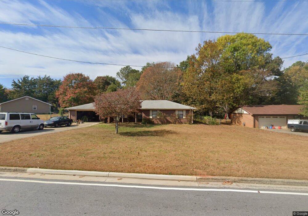
3493 Parr Rd SE Unit U5 Conyers, GA 30094
Estimated Value: $229,000 - $256,000
3
Beds
2
Baths
1,511
Sq Ft
$159/Sq Ft
Est. Value
About This Home
This home is located at 3493 Parr Rd SE Unit U5, Conyers, GA 30094 and is currently estimated at $240,808, approximately $159 per square foot. 3493 Parr Rd SE Unit U5 is a home located in Rockdale County with nearby schools including Honey Creek Elementary School, Edwards Middle School, and Heritage High School.
Ownership History
Date
Name
Owned For
Owner Type
Purchase Details
Closed on
Sep 17, 2019
Sold by
Peters Melia C
Bought by
Husbands Rayonne W
Current Estimated Value
Home Financials for this Owner
Home Financials are based on the most recent Mortgage that was taken out on this home.
Original Mortgage
$122,735
Outstanding Balance
$107,835
Interest Rate
3.75%
Mortgage Type
FHA
Estimated Equity
$132,973
Purchase Details
Closed on
Nov 30, 1999
Sold by
Woodall Michael W
Bought by
Peters Melia C
Home Financials for this Owner
Home Financials are based on the most recent Mortgage that was taken out on this home.
Original Mortgage
$88,272
Interest Rate
7.94%
Mortgage Type
FHA
Create a Home Valuation Report for This Property
The Home Valuation Report is an in-depth analysis detailing your home's value as well as a comparison with similar homes in the area
Home Values in the Area
Average Home Value in this Area
Purchase History
| Date | Buyer | Sale Price | Title Company |
|---|---|---|---|
| Husbands Rayonne W | $125,000 | -- | |
| Peters Melia C | $89,000 | -- |
Source: Public Records
Mortgage History
| Date | Status | Borrower | Loan Amount |
|---|---|---|---|
| Open | Husbands Rayonne W | $122,735 | |
| Previous Owner | Peters Melia C | $88,272 |
Source: Public Records
Tax History Compared to Growth
Tax History
| Year | Tax Paid | Tax Assessment Tax Assessment Total Assessment is a certain percentage of the fair market value that is determined by local assessors to be the total taxable value of land and additions on the property. | Land | Improvement |
|---|---|---|---|---|
| 2024 | $2,458 | $103,200 | $18,800 | $84,400 |
| 2023 | $1,900 | $84,560 | $17,200 | $67,360 |
| 2022 | $1,376 | $64,160 | $11,400 | $52,760 |
| 2021 | $1,130 | $52,080 | $9,200 | $42,880 |
| 2020 | $2,131 | $50,000 | $8,831 | $41,169 |
| 2019 | $1,713 | $38,160 | $6,800 | $31,360 |
| 2018 | $1,663 | $36,880 | $6,800 | $30,080 |
| 2017 | $1,236 | $27,160 | $4,400 | $22,760 |
| 2016 | $1,236 | $27,160 | $4,400 | $22,760 |
| 2015 | $1,234 | $27,080 | $4,400 | $22,680 |
| 2014 | $1,201 | $26,080 | $3,400 | $22,680 |
| 2013 | -- | $39,600 | $8,280 | $31,320 |
Source: Public Records
Map
Nearby Homes
- 650 Honey Creek Rd SE
- 3550 Clubhouse Ln SE
- 756 Sugar Hill Ln SE
- 760 Sugar Hill Ln SE
- 3514 Blackberry Ln SE
- 3488 Richmond Dr SE
- 3665 Clubhouse Ln SE
- 3446 Richmond Dr SE
- 864 Sweet Briar Ln SE
- 780 Sweet Briar Trail SE
- 853 Waterside Dr SE
- 781 Sweet Briar Trail SE
- 3265 Highway 20 SE
- 3165 Goode Rd
- 832 Virginia Ct SE
- 1001 Fox St SE
- 460 Honey Creek Rd SE
- 3493 Parr Rd SE
- 680 Honey Creek Rd SE
- 3483 Parr Rd SE
- 639 Crosscreek Trail SE Unit 5
- 670 Honey Creek Rd SE
- 635 Crosscreek Trail SE Unit 5
- 635 Crosscreek Trail SE
- 3471 Parr Rd SE
- 643 Crosscreek Trail SE
- 3515 Clubhouse Ln SE
- 660 Honey Creek Rd SE
- 631 Crosscreek Trail SE
- 3512 Clubhouse Ln SE
- 3461 Parr Rd SE
- 647 Crosscreek Trail SE
- 0 Crosscreek Trail SE Unit 7269872
- 675 Honey Creek Rd SE
- 640 Crosscreek Trail SE
- 629 Crosscreek Trail SE
- 663 Honey Creek Rd SE