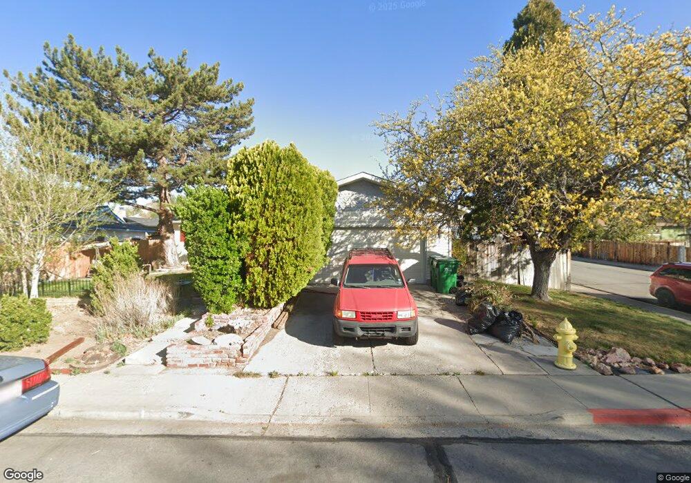
3495 Nowlin Ln Sparks, NV 89431
McCarran Boulevard-Probasco NeighborhoodEstimated Value: $411,448 - $441,000
3
Beds
2
Baths
1,350
Sq Ft
$319/Sq Ft
Est. Value
About This Home
This home is located at 3495 Nowlin Ln, Sparks, NV 89431 and is currently estimated at $430,362, approximately $318 per square foot. 3495 Nowlin Ln is a home located in Washoe County with nearby schools including Lena Juniper Elementary School, Lou Mendive Middle School, and Edward C Reed High School.
Ownership History
Date
Name
Owned For
Owner Type
Purchase Details
Closed on
Sep 15, 2005
Sold by
Michel Paul J and Michel Lillian G
Bought by
Yamashita Julie Kay
Current Estimated Value
Home Financials for this Owner
Home Financials are based on the most recent Mortgage that was taken out on this home.
Original Mortgage
$216,000
Outstanding Balance
$118,449
Interest Rate
6.25%
Mortgage Type
Unknown
Estimated Equity
$311,913
Purchase Details
Closed on
Sep 14, 2005
Sold by
Yamashita Steven Hideo
Bought by
Yamashita Julie Kay
Home Financials for this Owner
Home Financials are based on the most recent Mortgage that was taken out on this home.
Original Mortgage
$216,000
Outstanding Balance
$118,449
Interest Rate
6.25%
Mortgage Type
Unknown
Estimated Equity
$311,913
Purchase Details
Closed on
Jun 27, 1994
Sold by
Michel Paul J and Michel Lillian G
Bought by
The Michel Family Trust
Create a Home Valuation Report for This Property
The Home Valuation Report is an in-depth analysis detailing your home's value as well as a comparison with similar homes in the area
Home Values in the Area
Average Home Value in this Area
Purchase History
| Date | Buyer | Sale Price | Title Company |
|---|---|---|---|
| Yamashita Julie Kay | $270,000 | North American Title Company | |
| Yamashita Julie Kay | -- | North American Title Company | |
| The Michel Family Trust | -- | -- |
Source: Public Records
Mortgage History
| Date | Status | Borrower | Loan Amount |
|---|---|---|---|
| Open | Yamashita Julie Kay | $216,000 |
Source: Public Records
Tax History Compared to Growth
Tax History
| Year | Tax Paid | Tax Assessment Tax Assessment Total Assessment is a certain percentage of the fair market value that is determined by local assessors to be the total taxable value of land and additions on the property. | Land | Improvement |
|---|---|---|---|---|
| 2025 | $912 | $55,416 | $36,715 | $18,701 |
| 2024 | $912 | $53,131 | $34,755 | $18,376 |
| 2023 | $640 | $51,947 | $34,930 | $17,017 |
| 2022 | $862 | $42,356 | $28,455 | $13,901 |
| 2021 | $838 | $33,165 | $19,635 | $13,530 |
| 2020 | $811 | $31,123 | $17,850 | $13,273 |
| 2019 | $788 | $31,277 | $18,725 | $12,552 |
| 2018 | $766 | $25,582 | $13,545 | $12,037 |
| 2017 | $743 | $23,891 | $12,075 | $11,816 |
| 2016 | $724 | $23,398 | $11,550 | $11,848 |
| 2015 | $722 | $21,865 | $9,415 | $12,450 |
| 2014 | $701 | $20,367 | $7,980 | $12,387 |
| 2013 | -- | $18,671 | $5,985 | $12,686 |
Source: Public Records
Map
Nearby Homes
- 3545 4th St
- 3607 Keogh Dr
- 3465 Dawn Cir
- 3595 Rocky Ridge Ct
- 3245 Elaine Way
- 780 Emerson Way
- 120 E Lenwood Dr
- 465 Lenwood Dr
- 3332 Shari Way
- 119 Devere Way
- 3104 Sandy St
- 3071 Meadowlands Dr
- 2865 Patrice Dr
- 3252 Holman Way
- 10 Sheridan Way
- 3200 Bristle Branch Dr
- 5530 High Rock Way
- 3198 Bristle Branch Dr
- 3188 Bristle Branch Dr
- 3167 Bristle Branch Dr