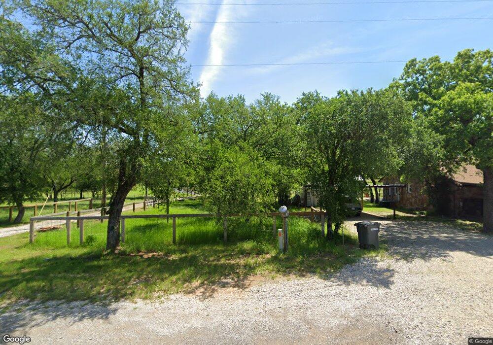
3499 S Fm 113 Unit 11.637A Millsap, TX 76066
Estimated Value: $448,542 - $527,000
3
Beds
2
Baths
1,800
Sq Ft
$270/Sq Ft
Est. Value
About This Home
This home is located at 3499 S Fm 113 Unit 11.637A, Millsap, TX 76066 and is currently estimated at $485,386, approximately $269 per square foot. 3499 S Fm 113 Unit 11.637A is a home located in Parker County with nearby schools including Millsap Elementary School, Millsap Middle School, and Millsap High School.
Ownership History
Date
Name
Owned For
Owner Type
Purchase Details
Closed on
Jun 14, 2024
Sold by
Godbey Paul Bret and Godbey Heather D
Bought by
Dempsey Rita and Dempsey Dick
Current Estimated Value
Home Financials for this Owner
Home Financials are based on the most recent Mortgage that was taken out on this home.
Original Mortgage
$319,920
Outstanding Balance
$315,991
Interest Rate
7.22%
Mortgage Type
New Conventional
Estimated Equity
$169,395
Purchase Details
Closed on
Jul 6, 2017
Sold by
Lain Linda Kay
Bought by
Godbey Paul Bret and Godbey Heather D
Home Financials for this Owner
Home Financials are based on the most recent Mortgage that was taken out on this home.
Original Mortgage
$196,373
Interest Rate
3.89%
Mortgage Type
New Conventional
Purchase Details
Closed on
Jun 12, 2000
Bought by
Lain Linda Kay
Create a Home Valuation Report for This Property
The Home Valuation Report is an in-depth analysis detailing your home's value as well as a comparison with similar homes in the area
Home Values in the Area
Average Home Value in this Area
Purchase History
| Date | Buyer | Sale Price | Title Company |
|---|---|---|---|
| Dempsey Rita | -- | Fidelity National Title | |
| Dempsey Rita | -- | Fidelity National Title | |
| Godbey Paul Bret | -- | None Available | |
| Lain Linda Kay | -- | -- |
Source: Public Records
Mortgage History
| Date | Status | Borrower | Loan Amount |
|---|---|---|---|
| Open | Dempsey Rita | $319,920 | |
| Closed | Dempsey Rita | $319,920 | |
| Previous Owner | Godbey Paul Bret | $196,373 |
Source: Public Records
Tax History Compared to Growth
Tax History
| Year | Tax Paid | Tax Assessment Tax Assessment Total Assessment is a certain percentage of the fair market value that is determined by local assessors to be the total taxable value of land and additions on the property. | Land | Improvement |
|---|---|---|---|---|
| 2025 | $2,445 | $415,540 | $112,350 | $303,190 |
| 2024 | $2,445 | $268,960 | -- | -- |
| 2023 | $2,445 | $212,530 | $0 | $0 |
| 2022 | $3,666 | $193,210 | $15,860 | $177,350 |
| 2021 | $3,809 | $193,210 | $15,860 | $177,350 |
| 2020 | $3,581 | $166,440 | $17,960 | $148,480 |
| 2019 | $3,749 | $162,500 | $17,020 | $145,480 |
| 2018 | $3,438 | $147,350 | $9,360 | $137,990 |
| 2017 | $22 | $108,890 | $0 | $0 |
| 2016 | $21 | $75,290 | $0 | $0 |
| 2015 | $21 | $75,290 | $0 | $0 |
| 2014 | $18 | $76,080 | $0 | $0 |
Source: Public Records
Map
Nearby Homes
- 3499 S Fm 113
- Farm To Market 113
- 106 S Houston St
- 207 NE Front St
- 1950 Consolation Dr
- 1350 Stephens Rd
- 4962 S Fm 113
- 811 NE Front St
- 9999 Trails End Cir
- 555 Sunset Trail
- TBD Consolation
- 250 Young Rd
- 2710 Fairview Rd
- 1923 Wilson Bend Rd
- 251 Tumbleweed Ct
- 417 Wood River Rd
- 000a Wilson Bend Rd
- 000b Wilson Bend Rd
- 2500 Cool Jct Unit Tract 2
- 3200 Fairview Rd
- 3499 S Fm 113 Unit 1.637A
- 3499 S Fm 113
- 3391 S Fm 113
- 3591 S Fm 113
- 3678 S Fm 113
- 3687 S Fm 113
- 300 Gholson Rd
- 3801 S Fm 113
- 3768 S Fm 113
- 3768 S Fm 113
- 327 Gholson Rd
- 3828 S Fm 113
- 210 White Bull Ln
- 309 Stephens Rd
- 357 Gholson Rd
- 00 White Bull Ln
- 790 Fannin St
- 325 Stephens Rd
- 434 Gholson Rd
- 500 White Bull Ln