34998 State Route 9 MacKinaw, IL 61755
Estimated Value: $492,000 - $574,724
3
Beds
3
Baths
3,208
Sq Ft
$162/Sq Ft
Est. Value
About This Home
This home is located at 34998 State Route 9, MacKinaw, IL 61755 and is currently estimated at $521,241, approximately $162 per square foot. 34998 State Route 9 is a home located in Tazewell County with nearby schools including Dee-Mack Primary/Junior High School, Dee-Mack Intermediate School, and Dee-Mack High School.
Ownership History
Date
Name
Owned For
Owner Type
Purchase Details
Closed on
May 27, 2021
Sold by
Danford Jeffrey A and Danford Lori L
Bought by
Hermes Matt
Current Estimated Value
Home Financials for this Owner
Home Financials are based on the most recent Mortgage that was taken out on this home.
Original Mortgage
$256,000
Outstanding Balance
$194,371
Interest Rate
2.9%
Mortgage Type
New Conventional
Estimated Equity
$326,870
Create a Home Valuation Report for This Property
The Home Valuation Report is an in-depth analysis detailing your home's value as well as a comparison with similar homes in the area
Home Values in the Area
Average Home Value in this Area
Purchase History
| Date | Buyer | Sale Price | Title Company |
|---|---|---|---|
| Hermes Matt | $406,000 | Ftc |
Source: Public Records
Mortgage History
| Date | Status | Borrower | Loan Amount |
|---|---|---|---|
| Open | Hermes Matt | $256,000 |
Source: Public Records
Tax History Compared to Growth
Tax History
| Year | Tax Paid | Tax Assessment Tax Assessment Total Assessment is a certain percentage of the fair market value that is determined by local assessors to be the total taxable value of land and additions on the property. | Land | Improvement |
|---|---|---|---|---|
| 2024 | $9,671 | $151,080 | $12,970 | $138,110 |
| 2023 | $9,671 | $140,010 | $11,940 | $128,070 |
| 2022 | $9,155 | $130,010 | $11,000 | $119,010 |
| 2021 | $7,414 | $105,400 | $10,480 | $94,920 |
| 2020 | $7,272 | $102,590 | $10,060 | $92,530 |
| 2019 | $7,314 | $102,420 | $9,890 | $92,530 |
| 2018 | $7,242 | $102,260 | $9,730 | $92,530 |
| 2017 | $7,137 | $99,410 | $7,670 | $91,740 |
| 2016 | $7,083 | $99,410 | $7,670 | $91,740 |
| 2015 | $5,459 | $0 | $0 | $0 |
| 2013 | $5,037 | $79,850 | $4,350 | $75,500 |
Source: Public Records
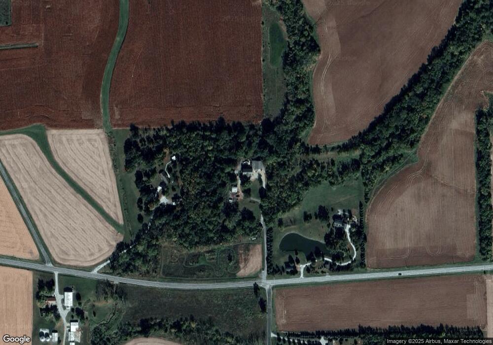
Map
Nearby Homes
- 16 Wilshire Wood Dr
- 801 Heritage Dr
- 7 Tiffany Ct
- 10 Summit Dr
- 18196 River Rd
- 614 Brendalyn Dr
- 114 W North St
- 213 Tulip Dr
- 209 N West St
- 204 Tulip Dr
- 212 S Monroe St
- 500 E North St
- 30748 Grandview Terrace
- 305 E Martin Dr
- 29724 Allentown Rd
- 29875 White Oak Dr
- 30403 Hancock Rd
- 300 Oak Valley Dr
- 613 N School St
- 510 N Maple Ave
- 34998 State Route 9
- 42 E 1675 North Rd
- 34755 State Route 9
- 34755 State Route 9
- 14158 King Rd
- 16471 Mclean Rd
- 543 E 1675 North Rd
- 34368 State Route 9
- 34368 State Route 9
- 34300 State Route 9
- 17073 N 50 East Rd
- 14521 King Rd
- 34632 Runyon Rd
- 372 Old Peoria Rd
- 13630 Zimmerly Rd
- 14664 King Rd
- 0000 King Rd
- 00 King Rd