34W201 Army Trail Rd Wayne, IL 60184
Dunham Castle NeighborhoodEstimated Value: $914,282 - $937,000
4
Beds
3
Baths
4,508
Sq Ft
$206/Sq Ft
Est. Value
About This Home
This home is located at 34W201 Army Trail Rd, Wayne, IL 60184 and is currently estimated at $928,761, approximately $206 per square foot. 34W201 Army Trail Rd is a home located in Kane County with nearby schools including Norton Creek Elementary School, Wredling Middle School, and St Charles East High School.
Ownership History
Date
Name
Owned For
Owner Type
Purchase Details
Closed on
Jun 19, 2020
Sold by
Petri Chris A
Bought by
Petri Chris A and Petri Lisa Kay
Current Estimated Value
Purchase Details
Closed on
Feb 28, 2014
Sold by
Petri Keith A
Bought by
Petri Chris A
Purchase Details
Closed on
Dec 14, 2012
Sold by
Petri Chris A
Bought by
Petri Keith A and The Keith A Petri Trust
Create a Home Valuation Report for This Property
The Home Valuation Report is an in-depth analysis detailing your home's value as well as a comparison with similar homes in the area
Home Values in the Area
Average Home Value in this Area
Purchase History
| Date | Buyer | Sale Price | Title Company |
|---|---|---|---|
| Petri Chris A | -- | None Available | |
| Petri Chris A | -- | None Available | |
| Petri Keith A | -- | None Available |
Source: Public Records
Tax History
| Year | Tax Paid | Tax Assessment Tax Assessment Total Assessment is a certain percentage of the fair market value that is determined by local assessors to be the total taxable value of land and additions on the property. | Land | Improvement |
|---|---|---|---|---|
| 2024 | $16,627 | $234,760 | $104,863 | $129,897 |
| 2023 | $15,817 | $210,114 | $93,854 | $116,260 |
| 2022 | $15,906 | $204,623 | $105,729 | $98,894 |
| 2021 | $15,009 | $195,047 | $100,781 | $94,266 |
| 2020 | $16,157 | $207,265 | $112,016 | $95,249 |
| 2019 | $15,863 | $203,161 | $109,798 | $93,363 |
| 2018 | $16,068 | $207,569 | $111,183 | $96,386 |
| 2017 | $16,171 | $213,312 | $107,381 | $105,931 |
| 2016 | $17,566 | $205,821 | $103,610 | $102,211 |
| 2015 | -- | $205,772 | $102,493 | $103,279 |
| 2014 | -- | $209,657 | $102,493 | $107,164 |
| 2013 | -- | $205,845 | $103,518 | $102,327 |
Source: Public Records
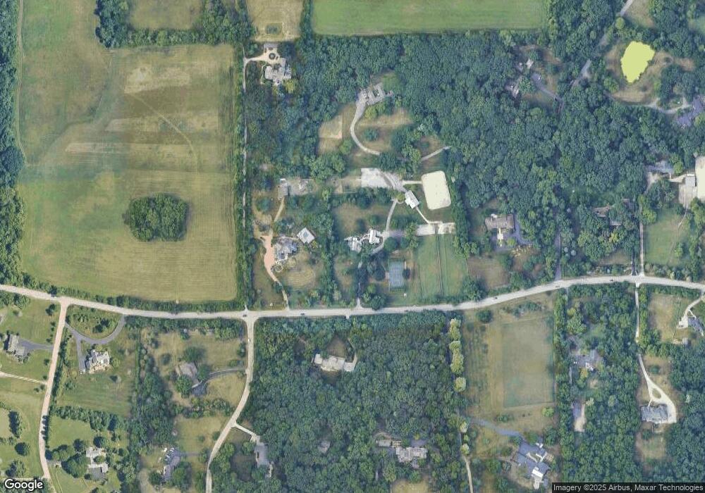
Map
Nearby Homes
- 5N847 Surrey Rd
- 34W791 Army Trail Rd
- 4319 Canterbury Ct
- 4308 Royal Windyne Ct
- 34W655 Roosevelt Ave Unit D
- 34W744 N James Dr
- 34W928 N James Dr
- 4205 Royal Fox Dr
- 6N661 Wyoming Ave
- 2450 Persimmon Dr
- 35W247 Fox River Dr
- 3706 Royal Fox Dr
- Lot 1 Royal Fox Dr
- 3112 Turnberry Rd
- 55 Whittington Course
- lot 012 Tuscola Ave
- SN900 Wabash Ave
- 92 Whittington Course
- Lot 5 Illinois St
- 692-703 Tuscola Ave
- 5N545 Robin Ln
- 34W176 Army Trail Rd
- 34W093 Army Trail Rd
- 34W220 Army Trail Rd
- 5N600 Robin Ln
- 5N475 Robin Ln
- 5N420 Robin Ln
- 5N605 Robin Ln
- 5N690 Surrey Rd
- 34W033 Army Trail Rd
- 5N435 Robin Ln
- 5N421 Robin Ln
- 33W981 Army Trail Rd
- 5N390 Robin Ln
- 5N764 Surrey Rd
- 34W248 Army Trail Rd
- 5N480 Robin Ln
- 5N385 Robin Ln
- 5N790 Surrey Rd
Your Personal Tour Guide
Ask me questions while you tour the home.