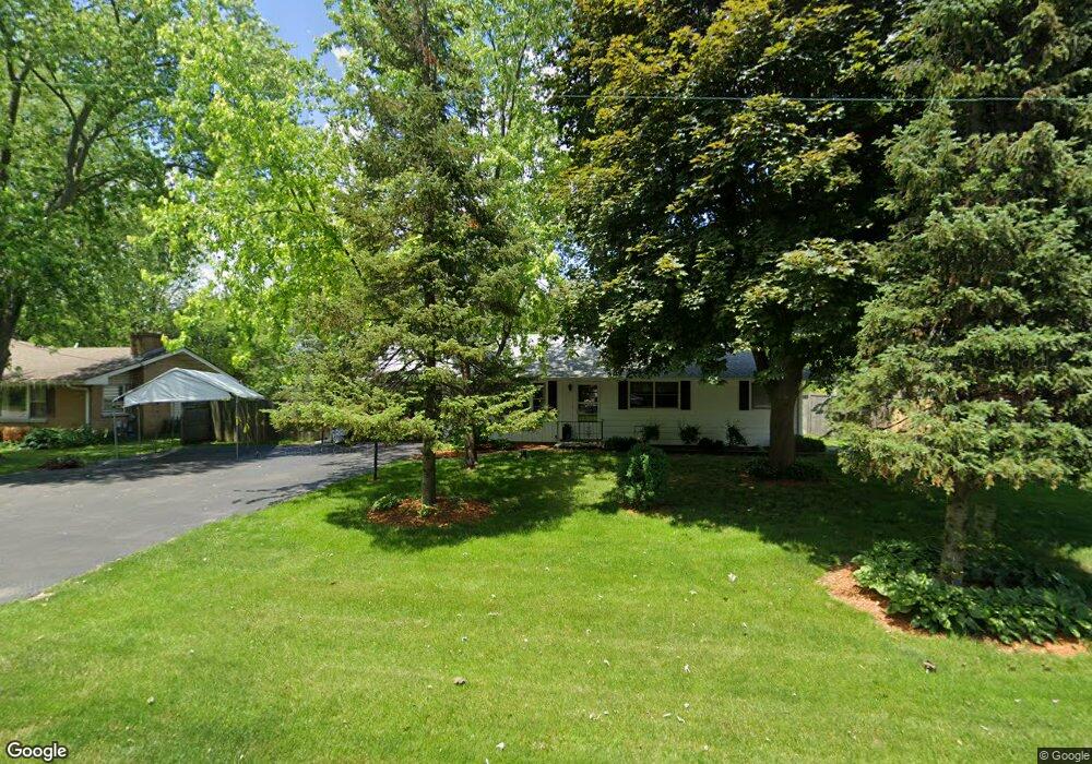
34W268 Giese Rd Batavia, IL 60510
Southeast Batavia NeighborhoodEstimated Value: $231,352 - $465,000
3
Beds
--
Bath
2,389
Sq Ft
$136/Sq Ft
Est. Value
About This Home
This home is located at 34W268 Giese Rd, Batavia, IL 60510 and is currently estimated at $325,588, approximately $136 per square foot. 34W268 Giese Rd is a home located in Kane County with nearby schools including Hoover Wood Elementary School, Sam Rotolo Middle School, and Batavia Sr High School.
Ownership History
Date
Name
Owned For
Owner Type
Purchase Details
Closed on
Aug 29, 2025
Sold by
Carey Dan and Lee Lori
Bought by
Carey Carol A
Current Estimated Value
Purchase Details
Closed on
Apr 9, 2019
Sold by
Carey Carol A
Bought by
Carey Carol A and Theis Amy
Purchase Details
Closed on
Apr 4, 2019
Sold by
Carey Dan and Theis Amy
Bought by
Carey George M and Carey Carol A
Purchase Details
Closed on
Jul 6, 2018
Sold by
Carey George M
Bought by
Lee Lori and Theis Amy
Create a Home Valuation Report for This Property
The Home Valuation Report is an in-depth analysis detailing your home's value as well as a comparison with similar homes in the area
Home Values in the Area
Average Home Value in this Area
Purchase History
| Date | Buyer | Sale Price | Title Company |
|---|---|---|---|
| Carey Carol A | $232,000 | Chicago Title Insurance Compan | |
| Carey Carol A | -- | Attorney | |
| Carey George M | -- | Attorney | |
| Carey George M | -- | Attorney | |
| Lee Lori | -- | Attorney |
Source: Public Records
Tax History
| Year | Tax Paid | Tax Assessment Tax Assessment Total Assessment is a certain percentage of the fair market value that is determined by local assessors to be the total taxable value of land and additions on the property. | Land | Improvement |
|---|---|---|---|---|
| 2024 | $2,696 | $125,678 | $32,285 | $93,393 |
| 2023 | $2,958 | $114,066 | $29,302 | $84,764 |
| 2022 | $3,429 | $90,760 | $27,385 | $63,375 |
| 2021 | $3,483 | $86,077 | $25,972 | $60,105 |
| 2020 | $3,462 | $84,423 | $25,473 | $58,950 |
| 2019 | $3,547 | $81,434 | $24,571 | $56,863 |
| 2018 | $3,557 | $78,332 | $23,635 | $54,697 |
| 2017 | $5,626 | $75,749 | $22,856 | $52,893 |
| 2016 | $5,522 | $73,542 | $22,190 | $51,352 |
| 2015 | -- | $71,868 | $21,685 | $50,183 |
| 2014 | -- | $69,605 | $21,002 | $48,603 |
| 2013 | -- | $71,055 | $23,400 | $47,655 |
Source: Public Records
Map
Nearby Homes
- 1012 Edwards Dr
- 1220 Davey Dr
- 1136 Pine Ct
- 701 Viking Dr
- 694 Hart Rd
- 1816 Burnell Ct
- Lot 4 Manchester Ave
- 2007 Gillenwater St
- 570 Violet Ln
- 1705 South Ct
- 860 S River St
- 2047 Swan Ln
- 304 S Prairie St
- 2045 Stuttle Rd
- 121 S Raddant Rd
- 1687 Sauk Dr
- Lot 1 Center St
- 414 Cleveland Ave
- 1025 E Wilson St
- 637 E Wilson St
- 34w Giese Rd
- 34W246 Giese Rd Unit 1
- 34W236 Giese Rd
- 34W271 Sunset Dr Unit 1
- 34W253 Sunset Dr
- 34W287 Sunset Dr
- 1021 Deshannon Ct
- 1017 Deshannon Ct
- 34W305 Sunset Dr
- 34W229 Sunset Dr
- 1013 Deshannon Ct
- 1102 Giese Rd
- 1136 S Raddant Rd
- 34W211 Giese Rd
- 34W333 Sunset Dr
- 1200 S Raddant Rd
- 2S311 Sunset Dr
- 34W270 Sunset Dr
- 1211 Beckman Ln
- 34W254 Sunset Dr
Your Personal Tour Guide
Ask me questions while you tour the home.