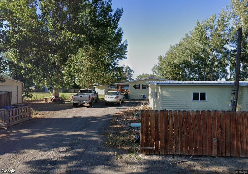
35 1/2 N Pryor St Byron, WY 82412
Estimated Value: $156,017 - $225,000
2
Beds
2
Baths
1,400
Sq Ft
$134/Sq Ft
Est. Value
About This Home
This home is located at 35 1/2 N Pryor St, Byron, WY 82412 and is currently estimated at $188,006, approximately $134 per square foot. 35 1/2 N Pryor St is a home.
Ownership History
Date
Name
Owned For
Owner Type
Purchase Details
Closed on
Dec 17, 2021
Sold by
Brazelton and Marie
Bought by
Brazelton Marie and Frates Cameron
Current Estimated Value
Purchase Details
Closed on
Jun 14, 2018
Sold by
Glen L & C Harvey Ft
Bought by
Mccollam Marie
Home Financials for this Owner
Home Financials are based on the most recent Mortgage that was taken out on this home.
Original Mortgage
$66,850
Interest Rate
5.38%
Mortgage Type
Adjustable Rate Mortgage/ARM
Create a Home Valuation Report for This Property
The Home Valuation Report is an in-depth analysis detailing your home's value as well as a comparison with similar homes in the area
Home Values in the Area
Average Home Value in this Area
Purchase History
| Date | Buyer | Sale Price | Title Company |
|---|---|---|---|
| Brazelton Marie | -- | None Listed On Document | |
| Mccollam Marie | -- | -- |
Source: Public Records
Mortgage History
| Date | Status | Borrower | Loan Amount |
|---|---|---|---|
| Previous Owner | Mccollam Marie | $66,850 |
Source: Public Records
Tax History Compared to Growth
Tax History
| Year | Tax Paid | Tax Assessment Tax Assessment Total Assessment is a certain percentage of the fair market value that is determined by local assessors to be the total taxable value of land and additions on the property. | Land | Improvement |
|---|---|---|---|---|
| 2025 | $460 | $5,297 | $1,963 | $3,334 |
| 2024 | $610 | $5,781 | $1,596 | $4,185 |
| 2023 | $522 | $6,565 | $2,403 | $4,162 |
| 2022 | $402 | $5,059 | $2,023 | $3,036 |
| 2021 | $402 | $5,059 | $2,023 | $3,036 |
| 2020 | $357 | $4,489 | $1,548 | $2,941 |
| 2019 | $340 | $4,303 | $1,500 | $2,803 |
| 2018 | $306 | $3,855 | $1,120 | $2,735 |
| 2017 | $115 | $4,497 | $1,775 | $2,722 |
| 2016 | $114 | $4,492 | $0 | $0 |
| 2015 | -- | $4,363 | $0 | $0 |
| 2014 | -- | $4,363 | $0 | $0 |
| 2013 | -- | $4,187 | $1,724 | $2,463 |
Source: Public Records
Map
Nearby Homes
- TBD E Platte Ave
- 30 W Main St
- 7 E Riverview Ave
- 148 Yellowstone Ave W
- TBD W Main St Unit 2
- 587 & 589 Hwy 14a
- TBD Lane 12
- 0 County Road 5
- 124 Highway 14a W
- 276 S Hwy 32
- 11 Benchview Ln
- TBD Benchview Ct Unit 3
- 1014 Lane 12
- 1062 Lane 13
- 1039 Lane 12
- 1328 Road 11
- 308 Hampshire Ave
- 1217 Road 11
- 459 Idaho Ave
- 272 Park Ave