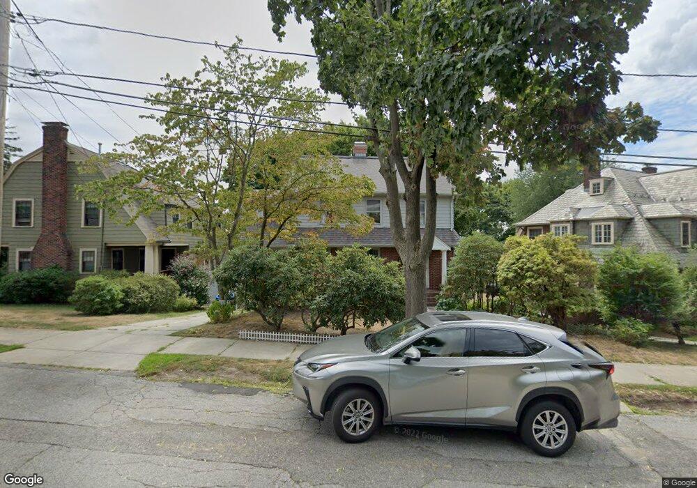
35 Adams Ave Watertown, MA 02472
East Watertown NeighborhoodEstimated Value: $1,409,000 - $1,456,928
4
Beds
3
Baths
2,373
Sq Ft
$605/Sq Ft
Est. Value
About This Home
This home is located at 35 Adams Ave, Watertown, MA 02472 and is currently estimated at $1,434,732, approximately $604 per square foot. 35 Adams Ave is a home located in Middlesex County with nearby schools including St. Stephen's Armenian Elementary School, Atrium School, and The Kendall School.
Ownership History
Date
Name
Owned For
Owner Type
Purchase Details
Closed on
Sep 28, 1990
Sold by
Fosque George L
Bought by
Gaspar Allan R
Current Estimated Value
Create a Home Valuation Report for This Property
The Home Valuation Report is an in-depth analysis detailing your home's value as well as a comparison with similar homes in the area
Home Values in the Area
Average Home Value in this Area
Purchase History
| Date | Buyer | Sale Price | Title Company |
|---|---|---|---|
| Gaspar Allan R | $283,000 | -- | |
| Gaspar Allan R | $283,000 | -- |
Source: Public Records
Mortgage History
| Date | Status | Borrower | Loan Amount |
|---|---|---|---|
| Closed | Gaspar Allan R | $46,000 | |
| Closed | Gaspar Allan R | $179,000 | |
| Closed | Gaspar Allan R | $170,500 |
Source: Public Records
Tax History Compared to Growth
Tax History
| Year | Tax Paid | Tax Assessment Tax Assessment Total Assessment is a certain percentage of the fair market value that is determined by local assessors to be the total taxable value of land and additions on the property. | Land | Improvement |
|---|---|---|---|---|
| 2025 | $14,224 | $1,217,800 | $748,100 | $469,700 |
| 2024 | $13,365 | $1,142,300 | $720,100 | $422,200 |
| 2023 | $13,767 | $1,013,800 | $644,300 | $369,500 |
| 2022 | $12,538 | $946,300 | $591,200 | $355,100 |
| 2021 | $10,477 | $855,300 | $500,200 | $355,100 |
| 2020 | $10,200 | $840,200 | $485,100 | $355,100 |
| 2019 | $9,638 | $748,300 | $462,300 | $286,000 |
| 2018 | $9,521 | $706,800 | $462,300 | $244,500 |
| 2017 | $9,292 | $669,000 | $424,500 | $244,500 |
| 2016 | $8,840 | $646,200 | $424,500 | $221,700 |
| 2015 | $9,255 | $615,800 | $394,100 | $221,700 |
| 2014 | $9,212 | $615,800 | $394,100 | $221,700 |
Source: Public Records
Map
Nearby Homes
- 188 School St
- 15-17 Porter St
- 20 Oakley Rd
- 172 Maplewood St
- 81 Winsor Ave
- 354 School St Unit 354
- 85 Dexter Ave Unit 87
- 85 Dexter Ave
- 27 Appleton St
- 1 Clayton St
- 27 Quimby St
- 43 Irma Ave Unit 43
- 57 Quimby St
- 144 Dexter Ave
- 15 Edgecliff Rd
- 29 Elton Ave Unit 29
- 133 Hillside Rd Unit 2
- 133 Hillside Rd Unit 1
- 56-58 Edgecliff Rd
- 154 Cypress St
- 41 Adams Ave
- 29 Adams Ave
- 45 Adams Ave
- 17 Adams Ave
- 51 Adams Ave
- 444 Mt Auburn St Unit 5
- 444 Mount Auburn St Unit 7
- 444 Mount Auburn St Unit 6
- 444 Mount Auburn St Unit 5
- 444 Mount Auburn St Unit 4
- 444 Mount Auburn St Unit 3
- 444 Mount Auburn St Unit 2
- 444 Mount Auburn St Unit 1
- 444 Mount Auburn St Unit 250
- 444 Mount Auburn St
- 36 Adams Ave
- 434 Mount Auburn St
- 9 Adams Ave
- 44 Adams Ave
- 428 Mount Auburn St