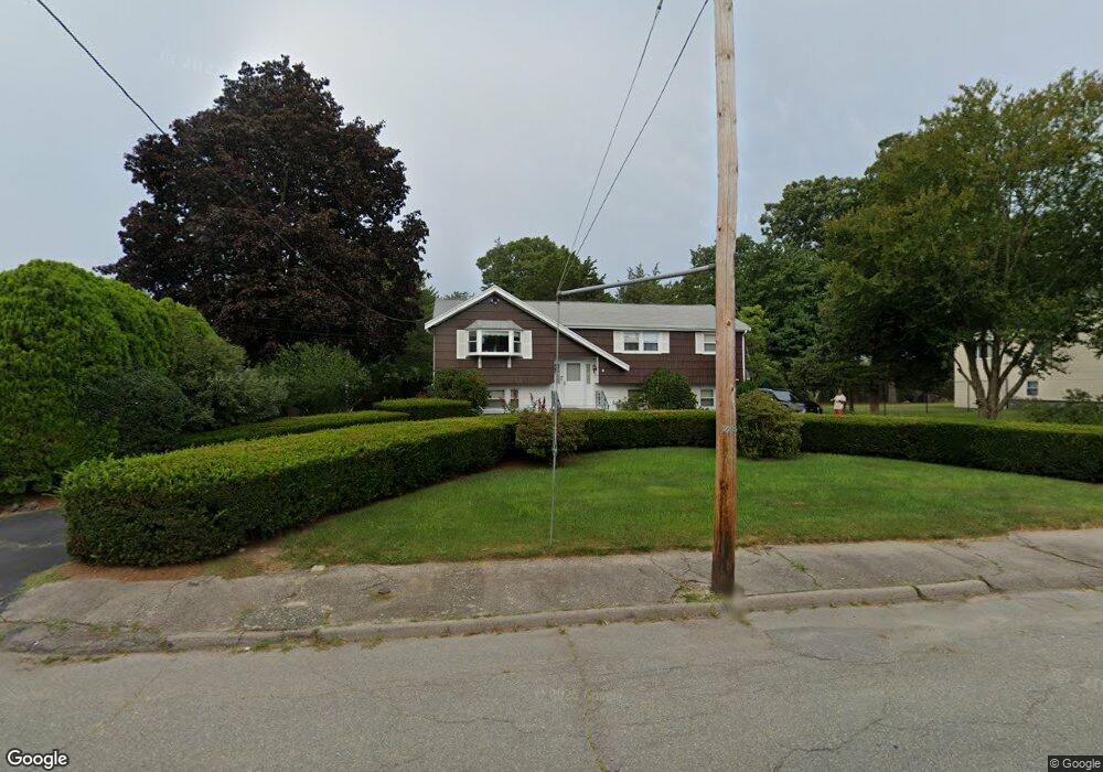
35 Anderson Dr Randolph, MA 02368
North Randolph NeighborhoodEstimated Value: $556,000 - $644,000
3
Beds
2
Baths
1,184
Sq Ft
$496/Sq Ft
Est. Value
About This Home
This home is located at 35 Anderson Dr, Randolph, MA 02368 and is currently estimated at $587,529, approximately $496 per square foot. 35 Anderson Dr is a home located in Norfolk County with nearby schools including Randolph High School and Lighthouse Baptist Christian Academy.
Ownership History
Date
Name
Owned For
Owner Type
Purchase Details
Closed on
Aug 25, 2022
Sold by
Peters Joseph A and Peters Mavis M
Bought by
Peters Ft
Current Estimated Value
Purchase Details
Closed on
Sep 30, 1986
Bought by
Peters Joseph A and Peters Mavis M
Create a Home Valuation Report for This Property
The Home Valuation Report is an in-depth analysis detailing your home's value as well as a comparison with similar homes in the area
Home Values in the Area
Average Home Value in this Area
Purchase History
| Date | Buyer | Sale Price | Title Company |
|---|---|---|---|
| Peters Ft | -- | None Available | |
| Peters Joseph A | $165,000 | -- |
Source: Public Records
Mortgage History
| Date | Status | Borrower | Loan Amount |
|---|---|---|---|
| Previous Owner | Peters Joseph A | $91,600 | |
| Previous Owner | Peters Joseph A | $25,000 |
Source: Public Records
Tax History Compared to Growth
Tax History
| Year | Tax Paid | Tax Assessment Tax Assessment Total Assessment is a certain percentage of the fair market value that is determined by local assessors to be the total taxable value of land and additions on the property. | Land | Improvement |
|---|---|---|---|---|
| 2025 | $6,347 | $546,700 | $253,500 | $293,200 |
| 2024 | $6,220 | $543,200 | $248,700 | $294,500 |
| 2023 | $5,891 | $487,700 | $226,000 | $261,700 |
| 2022 | $5,659 | $416,100 | $188,400 | $227,700 |
| 2021 | $5,415 | $366,400 | $156,900 | $209,500 |
| 2020 | $5,274 | $353,700 | $156,900 | $196,800 |
| 2019 | $5,188 | $346,300 | $149,500 | $196,800 |
| 2018 | $4,921 | $309,900 | $135,900 | $174,000 |
| 2017 | $4,742 | $293,100 | $129,300 | $163,800 |
| 2016 | $4,593 | $264,100 | $117,700 | $146,400 |
| 2015 | $4,625 | $255,500 | $112,000 | $143,500 |
Source: Public Records
Map
Nearby Homes
- 79 Gold St
- 68 High St
- 33 Michael Rd
- 229 Chestnut St
- 43 Emily Jeffers Rd
- 2 Smith Rd
- 11 Glen Ln
- 902 Irving Rd Unit 902
- 10 Michael Rd
- 232 Canton St Unit 205
- 232 Canton St Unit 104
- 232 Canton St Unit 112
- 304 High St
- 16 Simmonds Blvd Unit 16
- 20 Simmonds Blvd Unit 20
- 14 Simmonds Blvd Unit 14
- 12 Simmonds Blvd Unit 12
- 17 Mazzeo Dr
- 34 Orchard St
- 7 Webster St
- 31 Anderson Dr
- 7 Tanasso Cir
- 7 Tanasso Cir Unit 1
- 39 Anderson Dr
- 34 Anderson Dr
- 38 Anderson Dr
- 8 Tanasso Cir
- 27 Anderson Dr
- 43 Anderson Dr
- 26 Anderson Dr
- 42 Anderson Dr
- 3 Macauley Way
- 23 Anderson Dr
- 46 Anderson Dr
- 2 Macauley Way
- 5 Macauley Way
- 22 Anderson Dr
- 47 Anderson Dr
- 35 Delorenzo Dr
- 7 Macauley Way