35 Arrowhead Rd Wrentham, MA 02093
Estimated Value: $687,000 - $789,080
2
Beds
3
Baths
2,256
Sq Ft
$327/Sq Ft
Est. Value
About This Home
This home is located at 35 Arrowhead Rd, Wrentham, MA 02093 and is currently estimated at $738,770, approximately $327 per square foot. 35 Arrowhead Rd is a home located in Norfolk County with nearby schools including Delaney Elementary School, Charles E Roderick, and Discovery Daycare Center.
Ownership History
Date
Name
Owned For
Owner Type
Purchase Details
Closed on
Jan 31, 2023
Sold by
Heck Joseph and Heck Eleanor
Bought by
Heck Lt
Current Estimated Value
Purchase Details
Closed on
Dec 8, 1986
Bought by
Heck Joseph and Heck Eleanor
Create a Home Valuation Report for This Property
The Home Valuation Report is an in-depth analysis detailing your home's value as well as a comparison with similar homes in the area
Purchase History
| Date | Buyer | Sale Price | Title Company |
|---|---|---|---|
| Heck Lt | -- | None Available | |
| Heck Joseph | $97,000 | -- |
Source: Public Records
Mortgage History
| Date | Status | Borrower | Loan Amount |
|---|---|---|---|
| Previous Owner | Heck Joseph | $140,000 | |
| Previous Owner | Heck Joseph | $120,000 |
Source: Public Records
Tax History
| Year | Tax Paid | Tax Assessment Tax Assessment Total Assessment is a certain percentage of the fair market value that is determined by local assessors to be the total taxable value of land and additions on the property. | Land | Improvement |
|---|---|---|---|---|
| 2025 | $7,919 | $683,300 | $298,000 | $385,300 |
| 2024 | $8,102 | $675,200 | $298,000 | $377,200 |
| 2023 | $8,264 | $654,800 | $273,100 | $381,700 |
| 2022 | $6,838 | $500,200 | $248,200 | $252,000 |
| 2021 | $7,360 | $523,100 | $224,400 | $298,700 |
| 2020 | $7,017 | $492,400 | $206,900 | $285,500 |
| 2019 | $7,153 | $506,600 | $206,900 | $299,700 |
| 2018 | $7,070 | $496,500 | $205,100 | $291,400 |
| 2017 | $6,931 | $486,400 | $201,200 | $285,200 |
| 2016 | $6,784 | $475,100 | $195,300 | $279,800 |
| 2015 | $6,766 | $451,700 | $187,900 | $263,800 |
| 2014 | $6,703 | $437,800 | $180,700 | $257,100 |
Source: Public Records
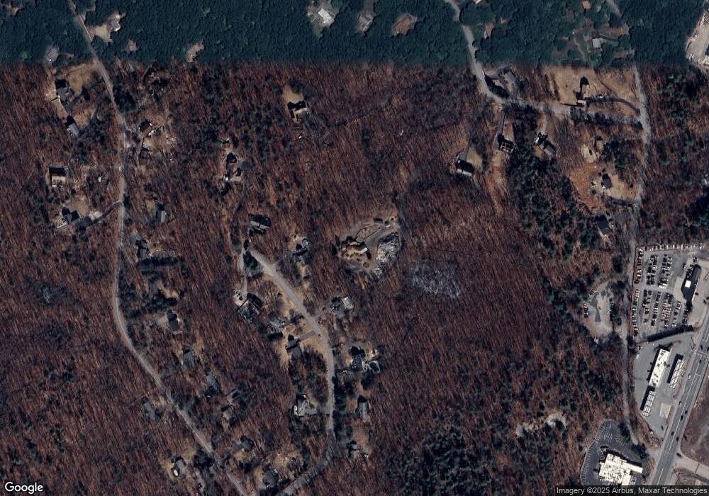
Map
Nearby Homes
- 483 Thurston St
- 282 Thurston St
- 46 Mirimichi St
- 160 Washington St Unit 22
- 10 Nature View Dr
- 15 Nature View Dr
- 16 Treasure Island Rd
- 126 Washington St
- 130 Washington St
- 124 Washington St
- 158 Washington St
- 3 Earle Stewart Ln
- 40 Treasure Island Rd
- 10 Earle Stewart Ln Unit Lot 5
- 2 Earle Stewart Ln
- 12 Earle Stewart Ln
- 135 Creek St Unit 2
- 33 Colonial Way
- 346 South St
- 8 Conway Ln
Your Personal Tour Guide
Ask me questions while you tour the home.