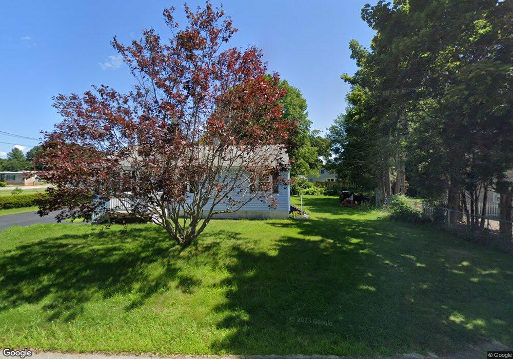
35 Ash St Webster, MA 01570
Estimated Value: $346,682 - $425,000
2
Beds
1
Bath
1,082
Sq Ft
$356/Sq Ft
Est. Value
About This Home
This home is located at 35 Ash St, Webster, MA 01570 and is currently estimated at $384,671, approximately $355 per square foot. 35 Ash St is a home located in Worcester County with nearby schools including Park Avenue Elementary School, Webster Middle School, and Bartlett High School.
Ownership History
Date
Name
Owned For
Owner Type
Purchase Details
Closed on
Jun 13, 2017
Sold by
Mattson Benjamin A and Zawacki Renee M
Bought by
Mattson Benjamin A and Mattson Gisele M
Current Estimated Value
Purchase Details
Closed on
Jun 25, 2012
Sold by
Mattson Benjamin A and Mattson Gisele M
Bought by
Mattson Benjamin A and Mattson Gisele M
Create a Home Valuation Report for This Property
The Home Valuation Report is an in-depth analysis detailing your home's value as well as a comparison with similar homes in the area
Home Values in the Area
Average Home Value in this Area
Purchase History
| Date | Buyer | Sale Price | Title Company |
|---|---|---|---|
| Mattson Benjamin A | -- | -- | |
| Mattson Benjamin A | -- | -- |
Source: Public Records
Tax History
| Year | Tax Paid | Tax Assessment Tax Assessment Total Assessment is a certain percentage of the fair market value that is determined by local assessors to be the total taxable value of land and additions on the property. | Land | Improvement |
|---|---|---|---|---|
| 2025 | $3,003 | $252,800 | $58,700 | $194,100 |
| 2024 | $2,999 | $246,200 | $56,400 | $189,800 |
| 2023 | $2,748 | $219,800 | $53,700 | $166,100 |
| 2022 | $2,659 | $190,500 | $52,200 | $138,300 |
| 2021 | $2,633 | $174,400 | $52,200 | $122,200 |
| 2020 | $2,569 | $170,600 | $52,200 | $118,400 |
| 2019 | $2,422 | $158,000 | $52,200 | $105,800 |
| 2018 | $2,292 | $148,900 | $52,200 | $96,700 |
| 2017 | $2,200 | $145,400 | $51,100 | $94,300 |
| 2016 | $2,115 | $139,700 | $48,700 | $91,000 |
| 2015 | $1,781 | $121,300 | $33,400 | $87,900 |
Source: Public Records
Map
Nearby Homes
- 27 Ash St
- 51 &52 lot Oscar Rd
- 36 Lake Pkwy
- 00 Juniper Ln
- 0 Thompson Rd
- 7 Nipmuck Dr
- 5 Crosby St
- 53-55 Point Pleasant Rd
- 0 Carpenter Rd
- 17 Mount Pleasant St
- 0 Wilsonville Rd Unit 24140220
- 23 Stefaniak Ave Unit 1
- 1 Brook St
- 404 High St
- 125 Birch Island Rd
- 12 Cedar Dr
- 251 High St
- 0 High St
- 1350 Thompson Rd
- 19 Myrtle Ave
Your Personal Tour Guide
Ask me questions while you tour the home.