35 Aunt Deborahs Ln South Chatham, MA 02659
South Chatham NeighborhoodEstimated Value: $478,000 - $1,457,000
3
Beds
1
Bath
764
Sq Ft
$1,237/Sq Ft
Est. Value
About This Home
This home is located at 35 Aunt Deborahs Ln, South Chatham, MA 02659 and is currently estimated at $944,857, approximately $1,236 per square foot. 35 Aunt Deborahs Ln is a home located in Barnstable County with nearby schools including Harwich Elementary School, Chatham Elementary School, and Monomoy Regional Middle School.
Ownership History
Date
Name
Owned For
Owner Type
Purchase Details
Closed on
Sep 13, 1978
Bought by
Hinds Robert I and Hinds Cynthia J
Current Estimated Value
Create a Home Valuation Report for This Property
The Home Valuation Report is an in-depth analysis detailing your home's value as well as a comparison with similar homes in the area
Home Values in the Area
Average Home Value in this Area
Purchase History
| Date | Buyer | Sale Price | Title Company |
|---|---|---|---|
| Hinds Robert I | $28,600 | -- |
Source: Public Records
Tax History Compared to Growth
Tax History
| Year | Tax Paid | Tax Assessment Tax Assessment Total Assessment is a certain percentage of the fair market value that is determined by local assessors to be the total taxable value of land and additions on the property. | Land | Improvement |
|---|---|---|---|---|
| 2025 | $2,073 | $597,300 | $0 | $597,300 |
| 2024 | $1,906 | $534,000 | $0 | $534,000 |
| 2023 | $1,701 | $438,500 | $0 | $438,500 |
| 2022 | $1,765 | $382,000 | $0 | $382,000 |
| 2021 | $1,592 | $319,700 | $0 | $319,700 |
| 2020 | $1,541 | $319,700 | $0 | $319,700 |
| 2019 | $1,572 | $324,100 | $0 | $324,100 |
| 2018 | $1,563 | $321,000 | $0 | $321,000 |
| 2017 | $1,596 | $317,200 | $0 | $317,200 |
| 2016 | $1,452 | $289,300 | $0 | $289,300 |
| 2015 | $1,302 | $261,000 | $0 | $261,000 |
| 2014 | $1,326 | $261,000 | $0 | $261,000 |
Source: Public Records
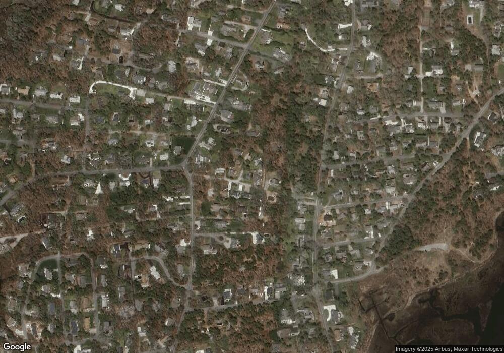
Map
Nearby Homes
- 216 Forest Beach Rd
- 41 Woodland Rd
- Lot 6 Bobbie's Ln
- 72 Forest Beach Rd
- 72 Forest Beach Rd
- 79 Forest Beach Rd
- 34 Sea Mist Ln
- 19 Deer Run
- 1011 Massachusetts 28 Unit C-6
- 1011 Route 28 Unit 6
- 2548 Main St
- 2550 Main St
- 15 Sylvan Way
- 50 Hillside Rd
- 48 Sylvan Way
- 6 Skinequit Pond Rd
- 2386 Main St
- 314 Cockle Cove Rd
- 70 Lantern Ln
- 6 Marthas Ln
- 33 Aunt Deborahs Ln
- 39 Aunt Deborahs Ln
- 27 Aunt Deborahs Ln
- 25 Aunt Deborahs Ln
- 23 Aunt Deborahs Ln Unit 4
- 23 Aunt Deborahs Ln
- 50 Aunt Deborahs Ln
- 25 Aunt Deborah's
- 42 Aunt Deborahs Ln
- 28 Aunt Deborahs Ln
- 20 Aunt Deborahs Ln
- 36 Aunt Deborahs Ln
- 189 Pleasant St
- 12 Aunt Deborahs Ln
- 15 Aunt Deborahs Ln
- 171 Pleasant St
- 29 Cleo Ln
- 11 Cleo Ln
- 167 Pleasant St
- 169 Pleasant St