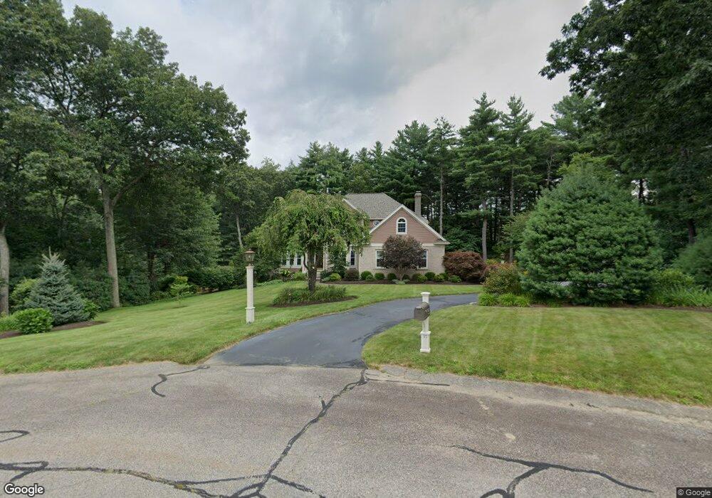
35 Ballou Dr Wrentham, MA 02093
West Wrentham NeighborhoodEstimated Value: $892,760 - $1,101,000
4
Beds
3
Baths
2,612
Sq Ft
$385/Sq Ft
Est. Value
About This Home
This home is located at 35 Ballou Dr, Wrentham, MA 02093 and is currently estimated at $1,004,940, approximately $384 per square foot. 35 Ballou Dr is a home located in Norfolk County with nearby schools including Delaney Elementary School, Charles E Roderick, and Benjamin Franklin Classical Charter Public School.
Ownership History
Date
Name
Owned For
Owner Type
Purchase Details
Closed on
Nov 29, 1995
Sold by
Webster J Lois
Bought by
Torchia Richard R and Torchia Deborah A
Current Estimated Value
Home Financials for this Owner
Home Financials are based on the most recent Mortgage that was taken out on this home.
Original Mortgage
$292,600
Interest Rate
7.37%
Mortgage Type
Purchase Money Mortgage
Purchase Details
Closed on
Mar 10, 1995
Sold by
Mayewski Tr Leo L
Bought by
Webster J Lois
Home Financials for this Owner
Home Financials are based on the most recent Mortgage that was taken out on this home.
Original Mortgage
$285,300
Interest Rate
9.09%
Mortgage Type
Purchase Money Mortgage
Purchase Details
Closed on
Nov 17, 1994
Sold by
Wrentham Village Corp
Bought by
Pentad Rt
Create a Home Valuation Report for This Property
The Home Valuation Report is an in-depth analysis detailing your home's value as well as a comparison with similar homes in the area
Home Values in the Area
Average Home Value in this Area
Purchase History
| Date | Buyer | Sale Price | Title Company |
|---|---|---|---|
| Torchia Richard R | $308,000 | -- | |
| Webster J Lois | $317,800 | -- | |
| Pentad Rt | $90,000 | -- |
Source: Public Records
Mortgage History
| Date | Status | Borrower | Loan Amount |
|---|---|---|---|
| Open | Pentad Rt | $283,000 | |
| Closed | Pentad Rt | $283,000 | |
| Closed | Pentad Rt | $292,600 | |
| Previous Owner | Pentad Rt | $285,300 |
Source: Public Records
Tax History
| Year | Tax Paid | Tax Assessment Tax Assessment Total Assessment is a certain percentage of the fair market value that is determined by local assessors to be the total taxable value of land and additions on the property. | Land | Improvement |
|---|---|---|---|---|
| 2025 | $10,291 | $887,900 | $333,900 | $554,000 |
| 2024 | $9,947 | $828,900 | $333,900 | $495,000 |
| 2023 | $9,632 | $763,200 | $303,900 | $459,300 |
| 2022 | $9,174 | $671,100 | $284,000 | $387,100 |
| 2021 | $8,504 | $604,400 | $248,200 | $356,200 |
| 2020 | $8,959 | $628,700 | $221,200 | $407,500 |
| 2019 | $8,616 | $610,200 | $221,200 | $389,000 |
| 2018 | $9,038 | $634,700 | $220,900 | $413,800 |
| 2017 | $8,888 | $623,700 | $216,600 | $407,100 |
| 2016 | $8,769 | $614,100 | $210,400 | $403,700 |
| 2015 | $8,817 | $588,600 | $202,300 | $386,300 |
| 2014 | $8,734 | $570,500 | $194,500 | $376,000 |
Source: Public Records
Map
Nearby Homes
- 10 Follett Dr
- 1620 West St
- 1565 West St
- 60 Grant Ave
- 9 Reagan Ave
- 2095 West St
- 172 Pine Swamp Rd
- 180 Pine Swamp Rd
- 56 Pine Swamp Rd
- 25 Nature View Dr
- 900 Washington St Lot 2
- 365 W Wrentham Rd
- 20 Nature View Dr
- 47 Austin Dr
- 925 Washington St
- 9 Pebble Cir Unit 9
- 1 Spring St
- 65 Palmetto Dr Unit 65
- 955 Summer St
- 9 Brookfield Ln
Your Personal Tour Guide
Ask me questions while you tour the home.