35 Barbara Ln Woodbury, CT 06798
Estimated Value: $446,000 - $525,000
3
Beds
2
Baths
1,920
Sq Ft
$248/Sq Ft
Est. Value
About This Home
This home is located at 35 Barbara Ln, Woodbury, CT 06798 and is currently estimated at $476,545, approximately $248 per square foot. 35 Barbara Ln is a home located in Litchfield County with nearby schools including Mitchell Elementary School, Bethlehem Elementary School, and Woodbury Middle School.
Ownership History
Date
Name
Owned For
Owner Type
Purchase Details
Closed on
Jan 30, 1997
Sold by
Fengler Alf and Fengler Sarah
Bought by
Mahoney William and Mahoney Sheila
Current Estimated Value
Purchase Details
Closed on
Feb 11, 1987
Sold by
Juliani Joseph
Bought by
Fengler Alf
Create a Home Valuation Report for This Property
The Home Valuation Report is an in-depth analysis detailing your home's value as well as a comparison with similar homes in the area
Home Values in the Area
Average Home Value in this Area
Purchase History
| Date | Buyer | Sale Price | Title Company |
|---|---|---|---|
| Mahoney William | $165,000 | -- | |
| Fengler Alf | $230,000 | -- |
Source: Public Records
Mortgage History
| Date | Status | Borrower | Loan Amount |
|---|---|---|---|
| Open | Fengler Alf | $215,000 | |
| Closed | Fengler Alf | $225,000 | |
| Closed | Fengler Alf | $45,000 |
Source: Public Records
Tax History Compared to Growth
Tax History
| Year | Tax Paid | Tax Assessment Tax Assessment Total Assessment is a certain percentage of the fair market value that is determined by local assessors to be the total taxable value of land and additions on the property. | Land | Improvement |
|---|---|---|---|---|
| 2025 | $6,255 | $264,810 | $72,730 | $192,080 |
| 2024 | $6,136 | $264,810 | $72,730 | $192,080 |
| 2023 | $5,627 | $193,630 | $72,700 | $120,930 |
| 2022 | $5,648 | $193,630 | $72,700 | $120,930 |
| 2021 | $5,648 | $193,630 | $72,700 | $120,930 |
| 2020 | $5,648 | $193,630 | $72,700 | $120,930 |
| 2019 | $5,648 | $193,630 | $72,700 | $120,930 |
| 2018 | $5,662 | $213,010 | $82,320 | $130,690 |
| 2017 | $5,785 | $213,010 | $82,320 | $130,690 |
| 2016 | $5,600 | $213,010 | $82,320 | $130,690 |
| 2015 | $5,553 | $213,010 | $82,320 | $130,690 |
| 2014 | $5,472 | $213,010 | $82,320 | $130,690 |
Source: Public Records
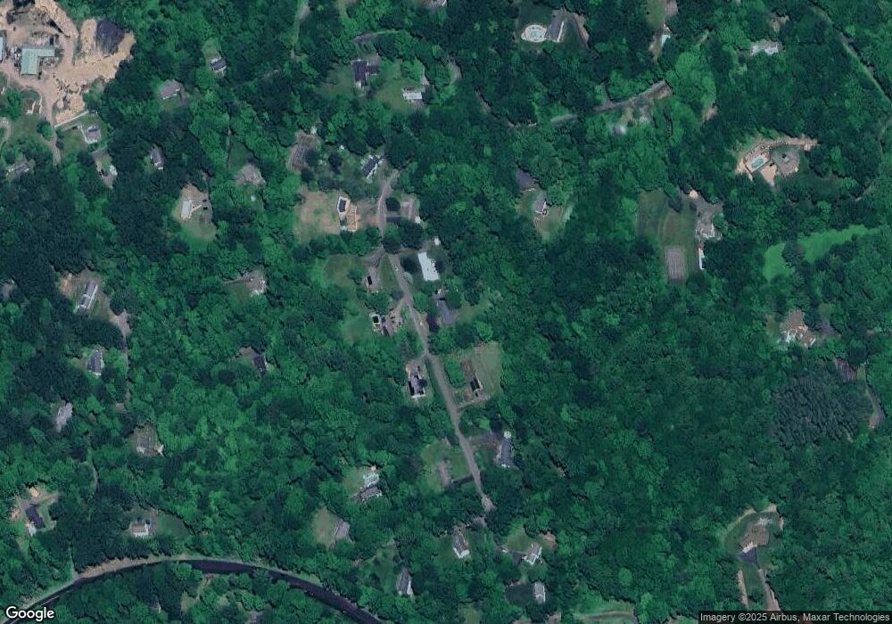
Map
Nearby Homes
- 229 Bacon Pond Rd Unit 454
- 229 Bacon Pond Rd Unit 332
- 229 Bacon Pond Rd Unit 113
- 36 Heritage Dr
- 223 Tuttle Rd
- 225 Old Sherman Hill Rd
- 74 Middle Quarter Rd
- 337 Main St S
- 54 Mountain Rd
- 14 Mountain Rd
- 49 Scuppo Rd
- 12 Spring St
- 6 Strong Field Rd
- 60 Pomperaug Rd
- 84 Hurds Hill Rd
- 212 Main St N
- 2 Linden Rd
- 145 Cat Swamp Rd
- 25 Curtiss Meadows
- 18 Woodbury Hill
- 27 Barbara Ln
- 43 Barbara Ln
- 34 Barbara Ln
- 40 Barbara Ln
- 19 Barbara Ln
- 102 Joshua Hill Rd
- 26 Barbara Ln
- 53 Barbara Ln
- 20 Barbara Ln
- 114 Joshua Hill Rd
- 021075 Joshua Hill Rd
- 181 Sherman Hill Rd
- 14 Barbara Ln
- 32 Parkland Dr
- 26 Parkland Dr
- 8 Barbara Ln
- 63 Barbara Ln
- 62 Barbara Ln
- 124 Joshua Hill Rd
- 246 Tuttle Rd