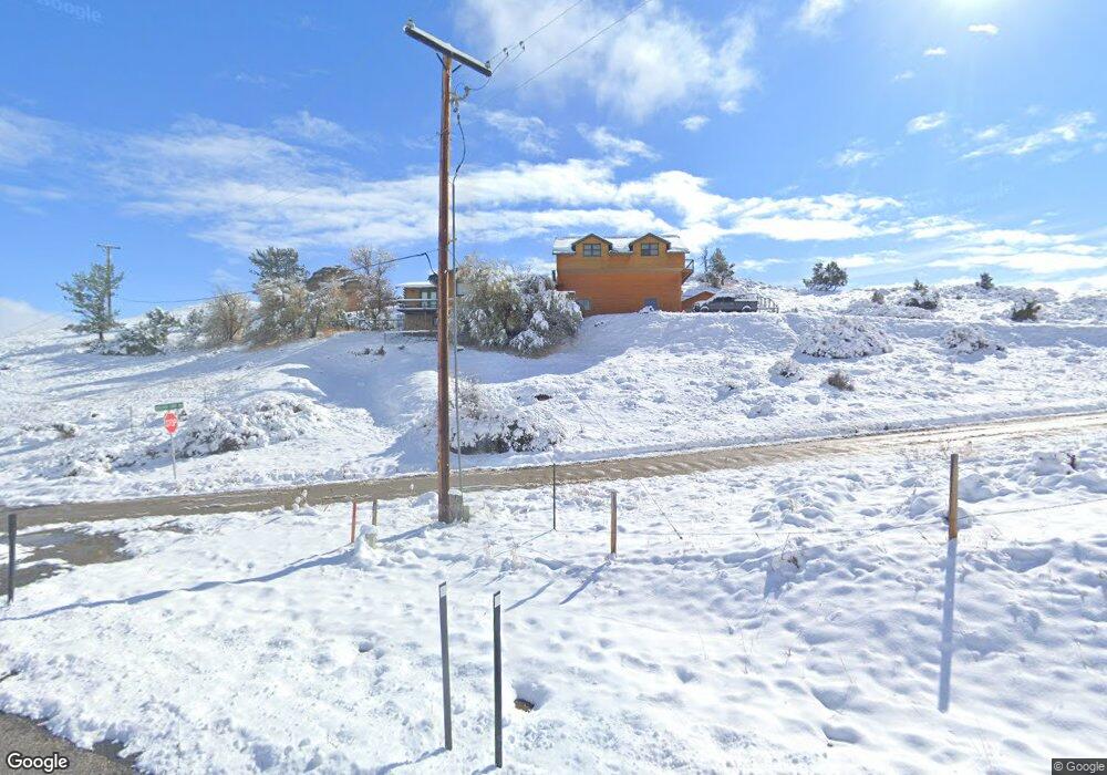
35 Boulder Loop Lander, WY 82520
Estimated Value: $674,851 - $1,035,000
4
Beds
2
Baths
2,768
Sq Ft
$287/Sq Ft
Est. Value
About This Home
This home is located at 35 Boulder Loop, Lander, WY 82520 and is currently estimated at $795,713, approximately $287 per square foot. 35 Boulder Loop is a home with nearby schools including Lander Valley High School.
Ownership History
Date
Name
Owned For
Owner Type
Purchase Details
Closed on
Mar 18, 2015
Sold by
Kunze Ann P
Bought by
Sweeney Travis L and Sweeney Sarah L
Current Estimated Value
Create a Home Valuation Report for This Property
The Home Valuation Report is an in-depth analysis detailing your home's value as well as a comparison with similar homes in the area
Purchase History
| Date | Buyer | Sale Price | Title Company |
|---|---|---|---|
| Sweeney Travis L | -- | None Available |
Source: Public Records
Tax History
| Year | Tax Paid | Tax Assessment Tax Assessment Total Assessment is a certain percentage of the fair market value that is determined by local assessors to be the total taxable value of land and additions on the property. | Land | Improvement |
|---|---|---|---|---|
| 2025 | $3,833 | $41,630 | $3,787 | $37,843 |
| 2024 | $3,833 | $53,102 | $5,049 | $48,053 |
| 2023 | $3,672 | $51,308 | $5,049 | $46,259 |
| 2022 | $3,048 | $43,594 | $5,049 | $38,545 |
| 2021 | $2,586 | $35,718 | $5,049 | $30,669 |
| 2020 | $2,836 | $39,243 | $4,871 | $34,372 |
| 2019 | $2,727 | $37,099 | $4,871 | $32,228 |
| 2018 | $2,766 | $37,190 | $4,871 | $32,319 |
| 2017 | $1,869 | $25,066 | $4,871 | $20,195 |
| 2016 | $1,680 | $22,569 | $4,454 | $18,115 |
| 2015 | $1,609 | $21,878 | $5,308 | $16,570 |
| 2014 | $1,786 | $24,322 | $5,308 | $19,014 |
Source: Public Records
Map
Nearby Homes
- 2241 Squaw Creek Rd
- 41 Moss Rock Rd
- 2377 Baldwin Creek Rd
- 0000 Baldwin Creek Rd
- 0 Baldwin Creek Rd Unit 24005149
- 0 Baldwin Creek Rd Unit 11520931
- 2067 Baldwin Creek Rd
- 200 Irwin Ln
- 796 Welch Blvd
- 960 Dabich Ave
- 2021 Hillcrest Dr
- 835 Garfield St
- 824 Main St
- 1530 W Main St
- 360 N 9th St
- 617 Main St Unit LotWP001
- 695 N 9th St
- 975 S 2nd St
- 350 Canyon St
- 275 Cascade St
- 15 Boulder Loop Unit Squaw Creek Rd.
- 15 Boulder Loop
- 5 Boulder Loop Unit Squaw Creek Drive
- 5 Boulder Loop
- 20 Boulder Loop
- 10 Boulder Loop Unit Squaw Creek Rd
- 10 Boulder Loop Unit Squaw Creek
- 10 Boulder Loop
- 28 Boulder Loop
- 24 Boulder Loop Unit Squaw Creek
- 20 Lewis Dr
- 16 Sacajawea Ave
- 16 Sacajawea Ave Unit Squaw Creek Rd
- 34 Crump Ln
- 16 Lewis Dr
- 00 Lewis Dr
- 10 Red Rim Rd
- 24 Crump Ln
- 10 Lewis Dr
- 30 Sacajawea Ave
Your Personal Tour Guide
Ask me questions while you tour the home.