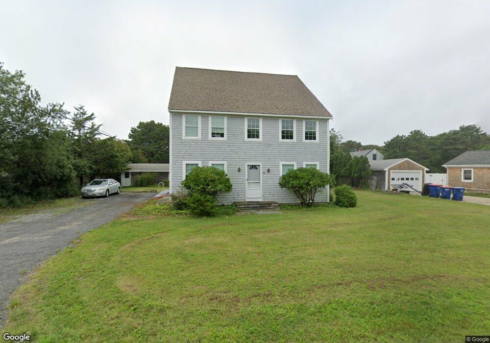
35 Bridge Rd Westport Point, MA 02791
South Westport NeighborhoodEstimated Value: $974,893 - $1,074,000
3
Beds
--
Bath
3,808
Sq Ft
$269/Sq Ft
Est. Value
About This Home
This home is located at 35 Bridge Rd, Westport Point, MA 02791 and is currently estimated at $1,022,631, approximately $268 per square foot. 35 Bridge Rd is a home with nearby schools including Alice A. Macomber Primary School, Westport Elementary School, and Westport Middle-High School.
Create a Home Valuation Report for This Property
The Home Valuation Report is an in-depth analysis detailing your home's value as well as a comparison with similar homes in the area
Home Values in the Area
Average Home Value in this Area
Tax History Compared to Growth
Tax History
| Year | Tax Paid | Tax Assessment Tax Assessment Total Assessment is a certain percentage of the fair market value that is determined by local assessors to be the total taxable value of land and additions on the property. | Land | Improvement |
|---|---|---|---|---|
| 2025 | $6,401 | $859,200 | $493,400 | $365,800 |
| 2024 | $6,300 | $815,000 | $457,200 | $357,800 |
| 2023 | $6,252 | $766,200 | $423,300 | $342,900 |
| 2022 | $5,151 | $679,200 | $374,900 | $304,300 |
| 2021 | $5,151 | $597,600 | $340,800 | $256,800 |
| 2020 | $4,923 | $584,000 | $327,200 | $256,800 |
| 2019 | $4,772 | $577,000 | $327,200 | $249,800 |
| 2018 | $5,451 | $667,200 | $416,200 | $251,000 |
| 2017 | $5,364 | $673,000 | $416,200 | $256,800 |
| 2016 | $5,066 | $640,500 | $416,200 | $224,300 |
| 2015 | $5,080 | $640,600 | $427,400 | $213,200 |
Source: Public Records
Map
Nearby Homes
- 1881 Main Rd
- 1702 Drift Rd
- 1702J Drift Rd
- 1749 Main Rd
- 238-242 E Beach Rd
- 1580 Main Rd
- 19 Seabury Ln
- 304 Brayton Point Rd
- 189 Brayton Point Rd
- 99 Sylvia Ln
- 1346 Main Rd Unit B
- Lot 2 Horseneck Rd
- 255 John Dyer Rd
- 245 John Dyer Rd
- 225 Hixbridge Rd
- 18 Old Barn Rd
- 17 Quail Trail
- 920 Drift Rd
- Lot 2E Horseneck Rd
- 128 Maple Ave