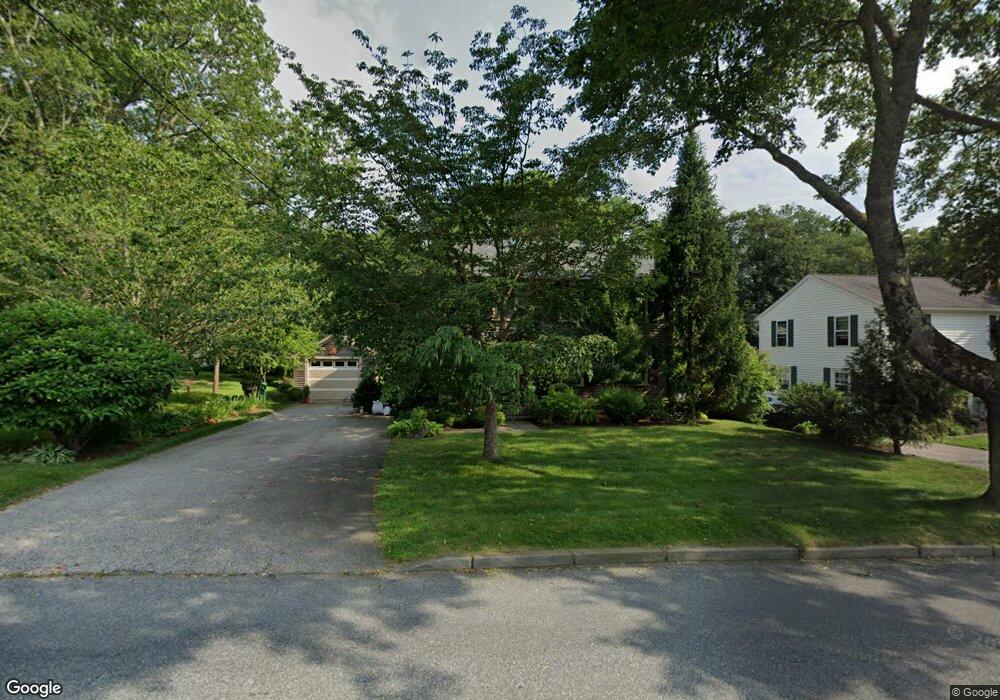
35 Broad Rock Rd Wakefield, RI 02879
Estimated Value: $500,899 - $736,000
3
Beds
2
Baths
1,606
Sq Ft
$398/Sq Ft
Est. Value
About This Home
This home is located at 35 Broad Rock Rd, Wakefield, RI 02879 and is currently estimated at $639,975, approximately $398 per square foot. 35 Broad Rock Rd is a home located in Washington County with nearby schools including South Kingstown High School, Monsignor Matthew Clarke Catholic Regional School, and Bradley School-South.
Ownership History
Date
Name
Owned For
Owner Type
Purchase Details
Closed on
Dec 4, 2001
Sold by
Bell Judith A
Bought by
Schulz Martina M
Current Estimated Value
Home Financials for this Owner
Home Financials are based on the most recent Mortgage that was taken out on this home.
Original Mortgage
$194,750
Interest Rate
6.66%
Create a Home Valuation Report for This Property
The Home Valuation Report is an in-depth analysis detailing your home's value as well as a comparison with similar homes in the area
Home Values in the Area
Average Home Value in this Area
Purchase History
| Date | Buyer | Sale Price | Title Company |
|---|---|---|---|
| Schulz Martina M | $205,000 | -- |
Source: Public Records
Mortgage History
| Date | Status | Borrower | Loan Amount |
|---|---|---|---|
| Open | Schulz Martina M | $177,000 | |
| Closed | Schulz Martina M | $225,000 | |
| Closed | Schulz Martina M | $196,000 | |
| Closed | Schulz Martina M | $194,750 |
Source: Public Records
Tax History
| Year | Tax Paid | Tax Assessment Tax Assessment Total Assessment is a certain percentage of the fair market value that is determined by local assessors to be the total taxable value of land and additions on the property. | Land | Improvement |
|---|---|---|---|---|
| 2025 | $3,528 | $394,600 | $164,500 | $230,100 |
| 2024 | $3,588 | $324,700 | $126,600 | $198,100 |
| 2023 | $3,588 | $324,700 | $126,600 | $198,100 |
| 2022 | $3,555 | $324,700 | $126,600 | $198,100 |
| 2021 | $3,761 | $260,300 | $110,000 | $150,300 |
| 2020 | $3,761 | $260,300 | $110,000 | $150,300 |
| 2019 | $3,761 | $260,300 | $110,000 | $150,300 |
| 2018 | $3,737 | $238,300 | $102,300 | $136,000 |
| 2017 | $3,648 | $238,300 | $102,300 | $136,000 |
| 2016 | $3,596 | $238,300 | $102,300 | $136,000 |
| 2015 | $3,667 | $236,300 | $100,000 | $136,300 |
| 2014 | $3,658 | $236,300 | $100,000 | $136,300 |
Source: Public Records
Map
Nearby Homes
- 15 Jessica Ln
- 131 Columbia St
- 301 Church St Unit 103
- 20 Cleveland St
- 37 Columbia St
- 45 Cherry Ln Unit C
- 48 Stone Bridge Dr
- 39 Hazard Ave
- 50 Shadow Farm Way
- 143 Summit Ave
- 40 Northup St
- 57 Rocky Brook Way
- 35 Abbey Rd
- 23 Rockland Dr
- 66 Christopher St
- 261 Saugatucket Rd
- 260 Sweet Allen Farm Rd Unit 3
- 1808 Kingstown Rd
- 13 Prospect Ave
- 39 Secluded Dr
- 25 Broad Rock Rd
- 41 Broad Rock Rd
- 49 Broad Rock Rd
- 21 Broad Rock Rd
- 28 Old Mountain Rd
- 34 Broad Rock Rd
- 22 Old Mountain Rd
- 40 Broad Rock Rd
- 36 Old Mountain Rd
- 53 Broad Rock Rd
- 20 Broad Rock Rd
- 16 Old Mountain Rd
- 48 Broad Rock Rd
- 895 Kingstown Rd
- 61 Broad Rock Rd
- 46 Old Mountain Rd
- 54 Broad Rock Rd
- 889 Kingstown Rd
- 913 Kingstown Rd
- 883 Kingstown Rd
Your Personal Tour Guide
Ask me questions while you tour the home.