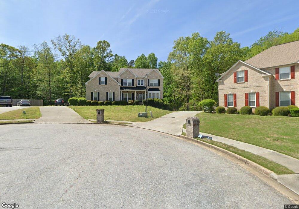
35 Bunker Ln Covington, GA 30014
Estimated Value: $407,018 - $442,000
Studio
3
Baths
3,553
Sq Ft
$120/Sq Ft
Est. Value
About This Home
This home is located at 35 Bunker Ln, Covington, GA 30014 and is currently estimated at $427,005, approximately $120 per square foot. 35 Bunker Ln is a home located in Newton County with nearby schools including East Newton Elementary School, Cousins Middle School, and Eastside High School.
Ownership History
Date
Name
Owned For
Owner Type
Purchase Details
Closed on
Mar 31, 2004
Sold by
The Ryland Grp Inc
Bought by
Moore Yvonne P and Moore Lionel
Current Estimated Value
Home Financials for this Owner
Home Financials are based on the most recent Mortgage that was taken out on this home.
Original Mortgage
$283,200
Outstanding Balance
$129,125
Interest Rate
5.54%
Mortgage Type
New Conventional
Estimated Equity
$297,880
Create a Home Valuation Report for This Property
The Home Valuation Report is an in-depth analysis detailing your home's value as well as a comparison with similar homes in the area
Home Values in the Area
Average Home Value in this Area
Purchase History
| Date | Buyer | Sale Price | Title Company |
|---|---|---|---|
| Moore Yvonne P | $315,000 | -- |
Source: Public Records
Mortgage History
| Date | Status | Borrower | Loan Amount |
|---|---|---|---|
| Open | Moore Yvonne P | $283,200 |
Source: Public Records
Tax History
| Year | Tax Paid | Tax Assessment Tax Assessment Total Assessment is a certain percentage of the fair market value that is determined by local assessors to be the total taxable value of land and additions on the property. | Land | Improvement |
|---|---|---|---|---|
| 2025 | $3,634 | $191,400 | $22,400 | $169,000 |
| 2024 | $3,372 | $172,120 | $22,400 | $149,720 |
| 2023 | $4,893 | $177,920 | $13,200 | $164,720 |
| 2022 | $3,268 | $147,040 | $13,200 | $133,840 |
| 2021 | $3,533 | $143,480 | $13,200 | $130,280 |
| 2020 | $3,450 | $130,840 | $13,200 | $117,640 |
| 2019 | $3,472 | $129,960 | $13,200 | $116,760 |
| 2018 | $3,227 | $122,200 | $13,200 | $109,000 |
| 2017 | $2,428 | $98,920 | $13,200 | $85,720 |
| 2016 | $1,941 | $84,720 | $10,000 | $74,720 |
| 2015 | $2,090 | $88,400 | $10,000 | $78,400 |
| 2014 | $1,812 | $80,560 | $0 | $0 |
Source: Public Records
Map
Nearby Homes
- 8 Jackson Rd
- 130 S Links Dr
- 10184 Malcolm Dr
- 10155 Malcolm Dr
- 85 Bellerive Ln SE
- 13268 Tolstoy Ln
- 10110 Malcolm Ct
- 7713 Fawn Cir Unit 51
- 7703 Fawn Cir
- 8193 Monticello St
- 7762 Fawn Cir
- 399 River Walk Farm Unit LOT 12
- 399 River Walk Farm
- 330 River Walk Farm Unit LOT 75
- 338 River Walk Farm
- 323 River Walk Farm
- 344 River Walk Farm
- 344 River Walk Farm Unit LOT 73
- 0 Piper Rd Unit 7693971
- 0 Piper Rd Unit 10659921
- 30 Bunker Ln
- 25 Bunker Ln
- 20 Bunker Ln
- 15 Bunker Ln
- 225 Fairway Trail
- 215 Fairway Trail
- 255 Fairway Trail
- 75 Woodridge Rd
- 50 Hummingbird Ln
- 45 Hummingbird Ln
- 265 Fairway Trail
- 205 Fairway Trail
- 70 Woodridge Rd
- 210 Fairway Trail
- 200 Fairway Trail
- 200 Fairway Trail Unit 87
- 220 Fairway Trail
- 190 Fairway Trail
- 230 Fairway Trail
- 65 Woodridge Rd
Your Personal Tour Guide
Ask me questions while you tour the home.