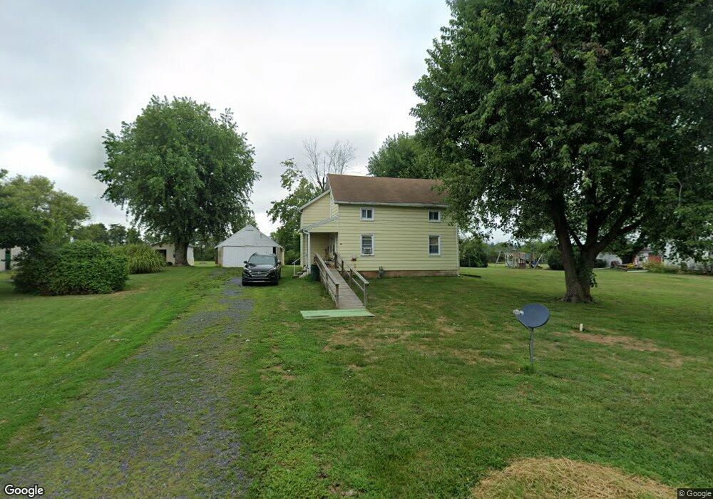
35 California Rd Littlestown, PA 17340
Estimated Value: $111,000 - $280,000
2
Beds
1
Bath
1,051
Sq Ft
$190/Sq Ft
Est. Value
About This Home
This home is located at 35 California Rd, Littlestown, PA 17340 and is currently estimated at $199,619, approximately $189 per square foot. 35 California Rd is a home located in Adams County with nearby schools including Rolling Acres El School, Maple Avenue Middle School, and Littlestown Senior High School.
Ownership History
Date
Name
Owned For
Owner Type
Purchase Details
Closed on
Jun 26, 2025
Sold by
Shaeffer Tony L
Bought by
Dutterer Freddie L and Dutterer Denise B
Current Estimated Value
Purchase Details
Closed on
Aug 10, 2020
Sold by
Shaeffer Tony L and Crouse Jo Ann
Bought by
Shaeffer Tony L
Purchase Details
Closed on
Nov 15, 1972
Bought by
Shaeffer Robert Lee and Shirley Mae
Create a Home Valuation Report for This Property
The Home Valuation Report is an in-depth analysis detailing your home's value as well as a comparison with similar homes in the area
Home Values in the Area
Average Home Value in this Area
Purchase History
| Date | Buyer | Sale Price | Title Company |
|---|---|---|---|
| Dutterer Freddie L | $67,500 | Pace Settlement Services Llc | |
| Dutterer Freddie L | $67,500 | Pace Settlement Services Llc | |
| Shaeffer Tony L | -- | None Available | |
| Shaeffer Robert Lee | -- | -- |
Source: Public Records
Tax History Compared to Growth
Tax History
| Year | Tax Paid | Tax Assessment Tax Assessment Total Assessment is a certain percentage of the fair market value that is determined by local assessors to be the total taxable value of land and additions on the property. | Land | Improvement |
|---|---|---|---|---|
| 2025 | $2,260 | $136,900 | $49,400 | $87,500 |
| 2024 | $2,443 | $136,900 | $49,400 | $87,500 |
| 2023 | $2,394 | $136,900 | $49,400 | $87,500 |
| 2022 | $2,376 | $136,900 | $49,400 | $87,500 |
| 2021 | $2,311 | $136,900 | $49,400 | $87,500 |
| 2020 | $2,099 | $136,700 | $49,200 | $87,500 |
| 2019 | $2,085 | $136,700 | $49,200 | $87,500 |
| 2018 | $2,176 | $136,700 | $49,200 | $87,500 |
| 2017 | $2,108 | $136,700 | $49,200 | $87,500 |
| 2016 | -- | $136,700 | $49,200 | $87,500 |
| 2015 | -- | $136,700 | $49,200 | $87,500 |
| 2014 | -- | $136,700 | $49,200 | $87,500 |
Source: Public Records
Map
Nearby Homes
- 3801 Baltimore Pike
- 975 Hoffman Home Rd Unit 6
- 464 Locust Ln
- 2746 Baltimore Pike
- 48 Cannon Ln Unit 105
- 0 Hershey Rd Unit PALA2058618
- 780 White Hall Rd
- 37 Amanda Dr Unit 14
- 650 Basehoar Roth Rd
- 58 Windsor Ct
- 48 Windsor Ct
- 67 Cedarfield Dr
- 20c Locust Dr
- 0 Locust Dr Unit PAAD2015910
- 28 Bonniefield Cir Unit 25
- 2226 Harney Rd Unit 2
- 161 Stoners Cir
- 27 Maple St
- 2238 Harney Rd Unit 3
- 138 Cedarfield Dr Unit 71
- 47 California Rd
- 25 California Rd
- 3757 Baltimore Pike
- 3729 Baltimore Pike
- 3781 Baltimore Pike
- 3734 Baltimore Pike
- 3754 Baltimore Pike
- 3754 Baltimore Pike Unit 1
- 3754 Baltimore Pike Unit GARAGE
- 3754 Baltimore Pike Unit 3
- 3754 Baltimore Pike Unit 2
- 3728 Baltimore Pike
- 3792 Baltimore Pike
- 25 Bowers Rd
- 3815 Baltimore Pike
- 3786 Baltimore Pike
- 30 Bowers Rd Unit 1
- 3798 Baltimore Pike
- 3825 Baltimore Pike
- 3668 Baltimore Pike