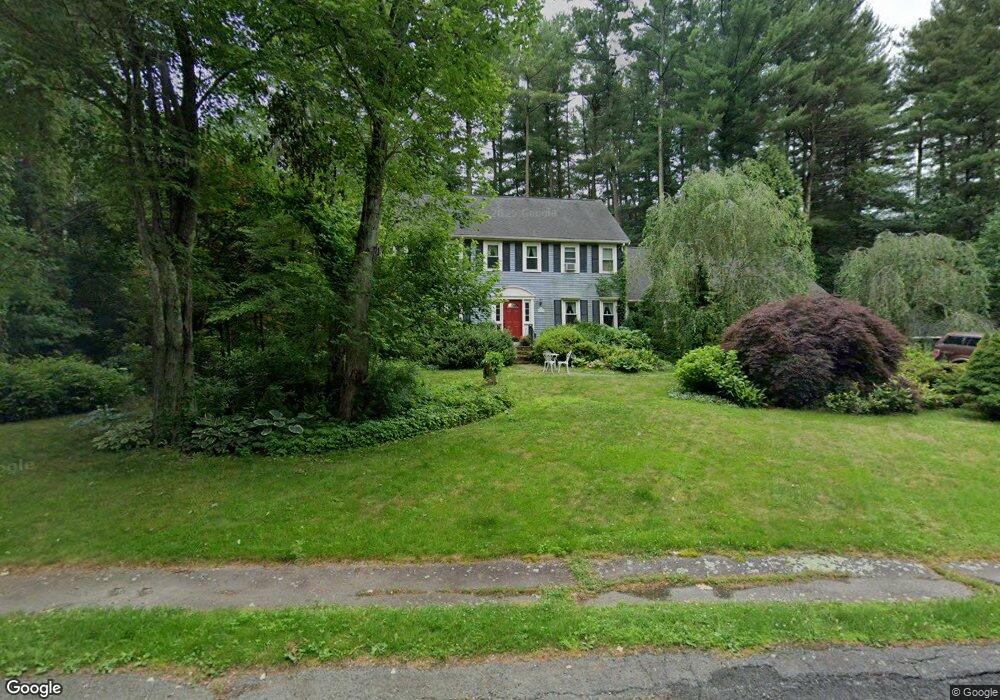
35 Canoe Way East Bridgewater, MA 02333
Estimated Value: $707,710 - $824,000
4
Beds
3
Baths
2,362
Sq Ft
$330/Sq Ft
Est. Value
About This Home
This home is located at 35 Canoe Way, East Bridgewater, MA 02333 and is currently estimated at $779,678, approximately $330 per square foot. 35 Canoe Way is a home located in Plymouth County with nearby schools including Central Elementary School, Gordon W Mitchell Middle School, and East Bridgewater Jr./Sr. High School.
Ownership History
Date
Name
Owned For
Owner Type
Purchase Details
Closed on
Jul 5, 1988
Sold by
Evergreen Prop Tr
Bought by
Holmes Calvin L
Current Estimated Value
Home Financials for this Owner
Home Financials are based on the most recent Mortgage that was taken out on this home.
Original Mortgage
$125,000
Interest Rate
10.47%
Mortgage Type
Purchase Money Mortgage
Purchase Details
Closed on
Feb 22, 1988
Sold by
Sachem Rock Bldrs
Bought by
Evergreen Property Tr
Create a Home Valuation Report for This Property
The Home Valuation Report is an in-depth analysis detailing your home's value as well as a comparison with similar homes in the area
Home Values in the Area
Average Home Value in this Area
Purchase History
| Date | Buyer | Sale Price | Title Company |
|---|---|---|---|
| Holmes Calvin L | $225,725 | -- | |
| Evergreen Property Tr | $90,000 | -- |
Source: Public Records
Mortgage History
| Date | Status | Borrower | Loan Amount |
|---|---|---|---|
| Open | Evergreen Property Tr | $595,500 | |
| Closed | Evergreen Property Tr | $595,500 | |
| Closed | Evergreen Property Tr | $134,000 | |
| Closed | Evergreen Property Tr | $125,000 |
Source: Public Records
Tax History Compared to Growth
Tax History
| Year | Tax Paid | Tax Assessment Tax Assessment Total Assessment is a certain percentage of the fair market value that is determined by local assessors to be the total taxable value of land and additions on the property. | Land | Improvement |
|---|---|---|---|---|
| 2025 | $8,816 | $644,900 | $235,500 | $409,400 |
| 2024 | $8,660 | $625,700 | $226,500 | $399,200 |
| 2023 | $8,466 | $585,900 | $226,500 | $359,400 |
| 2022 | $8,031 | $514,800 | $197,400 | $317,400 |
| 2021 | $7,908 | $463,800 | $189,700 | $274,100 |
| 2020 | $7,718 | $446,400 | $182,700 | $263,700 |
| 2019 | $7,479 | $425,900 | $174,600 | $251,300 |
| 2018 | $7,538 | $419,700 | $174,600 | $245,100 |
| 2017 | $7,322 | $400,100 | $166,500 | $233,600 |
| 2016 | $7,050 | $388,200 | $166,500 | $221,700 |
| 2015 | $6,720 | $378,400 | $158,200 | $220,200 |
| 2014 | $6,406 | $368,800 | $154,900 | $213,900 |
Source: Public Records
Map
Nearby Homes
- 455 Plymouth St
- 121 South St
- 590 Bedford St
- 261 Plymouth St
- 52 Cottage St
- 391 Bedford St
- 12 Bridge St
- 827 High St
- 201 Comfort St
- 0 Three Rivers Dr
- 587 Bridge St
- 36 Michael Rd
- 81 Arrowhead Dr
- 26 Meadowbrook Dr
- 71 Church St
- 282 Spring St
- 54 Michael Rd Unit 33
- 28 Brookbend Way E
- 78 Crystal Water Dr
- 217 Crystal Water Dr
- 155 Sachem Rock Ave
- 135 Sachem Rock Ave
- 25 Arrow Path
- 30 Canoe Way
- 15 Canoe Way
- 10 Canoe Way
- 125 Sachem Rock Ave
- 20 Arrow Path
- 50 Canoe Way
- 65 Satucket Ave
- 15 Arrow Path
- 85 Satucket Ave
- 115 Sachem Rock Ave
- 130 Sachem Rock Ave
- 140 Sachem Rock Ave
- 80 Satucket Ave
- 185 Sachem Rock Ave
- 105 Sachem Rock Ave
- 95 Sachem Rock Ave
- 60 Satucket Ave