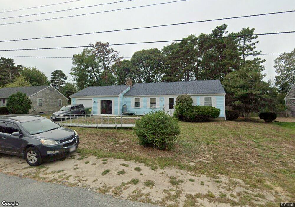
35 Captain Crocker Rd South Yarmouth, MA 02664
South Yarmouth NeighborhoodEstimated Value: $483,000 - $579,000
2
Beds
2
Baths
1,120
Sq Ft
$476/Sq Ft
Est. Value
About This Home
This home is located at 35 Captain Crocker Rd, South Yarmouth, MA 02664 and is currently estimated at $533,117, approximately $475 per square foot. 35 Captain Crocker Rd is a home located in Barnstable County with nearby schools including Dennis-Yarmouth Regional High School and St. Pius X. School.
Ownership History
Date
Name
Owned For
Owner Type
Purchase Details
Closed on
Jul 7, 1995
Sold by
Huckins Harold A
Bought by
Elliott Alice N and Teed Lai Lohni R
Current Estimated Value
Home Financials for this Owner
Home Financials are based on the most recent Mortgage that was taken out on this home.
Original Mortgage
$103,385
Interest Rate
7.84%
Mortgage Type
Purchase Money Mortgage
Create a Home Valuation Report for This Property
The Home Valuation Report is an in-depth analysis detailing your home's value as well as a comparison with similar homes in the area
Home Values in the Area
Average Home Value in this Area
Purchase History
| Date | Buyer | Sale Price | Title Company |
|---|---|---|---|
| Elliott Alice N | $115,000 | -- |
Source: Public Records
Mortgage History
| Date | Status | Borrower | Loan Amount |
|---|---|---|---|
| Closed | Elliott Alice N | $103,385 |
Source: Public Records
Tax History Compared to Growth
Tax History
| Year | Tax Paid | Tax Assessment Tax Assessment Total Assessment is a certain percentage of the fair market value that is determined by local assessors to be the total taxable value of land and additions on the property. | Land | Improvement |
|---|---|---|---|---|
| 2025 | $3,288 | $464,400 | $179,300 | $285,100 |
| 2024 | $3,052 | $413,500 | $151,600 | $261,900 |
| 2023 | $2,941 | $362,600 | $131,200 | $231,400 |
| 2022 | $2,784 | $303,300 | $119,300 | $184,000 |
| 2021 | $2,629 | $275,000 | $119,300 | $155,700 |
| 2020 | $2,481 | $258,100 | $119,300 | $138,800 |
| 2019 | $2,380 | $244,900 | $119,300 | $125,600 |
| 2018 | $2,338 | $227,200 | $101,600 | $125,600 |
| 2017 | $9,933 | $222,800 | $97,200 | $125,600 |
| 2016 | $2,135 | $213,900 | $88,300 | $125,600 |
| 2015 | $2,198 | $218,900 | $88,300 | $130,600 |
Source: Public Records
Map
Nearby Homes
- 35 Captain Percival Rd
- 48 Captain Dore Rd
- 49 Captain Besse Rd
- 18 Captain Stanley Rd
- 147 Captain Bacon Rd
- 72 Quartermaster Row
- 21 Hazelmoor Rd
- 33 Sparrow Way
- 24 Fast Brook Rd
- 3 Saturn Ln
- 0 Forsyth Ave
- 11 Bob-O-link Ln
- 22 Powhatan Rd
- 68 Bob-O-link Ln
- 15 Sharon Rd
- 4 Raymond Ave
- 7 Sunset Pines Rd
- 299 Winslow Gray Rd
- 299-301 Winslow Gray Rd
- 33 Lake Rd
- 29 Captain Crocker Rd
- 39 Captain Crocker Rd
- 32 Captain Crocker Rd
- 38 Captain Crocker Rd
- 38 Capt Crocker Rd
- 28 Capt Daniel Rd
- 28 Captain Daniel Rd
- 34 Captain Daniel Rd
- 38 Captain Daniel Rd
- 25 Captain Crocker Rd
- 26 Captain Crocker Rd
- 45 Captain Crocker Rd
- 44 Captain Crocker Rd
- 44 Capt Crocker Rd
- 24 Captain Daniel Rd
- 44 Captain Daniel Rd
- 31 Captain Noyes Rd
- 0 Captain Daniel Rd
- 37 Captain Noyes Rd
- 33 Captain Daniel Rd