35 Cedar Point Rd Sandusky, OH 44870
Estimated Value: $328,000 - $555,000
3
Beds
3
Baths
1,436
Sq Ft
$321/Sq Ft
Est. Value
About This Home
This home is located at 35 Cedar Point Rd, Sandusky, OH 44870 and is currently estimated at $461,137, approximately $321 per square foot. 35 Cedar Point Rd is a home located in Erie County with nearby schools including Sandusky High School.
Ownership History
Date
Name
Owned For
Owner Type
Purchase Details
Closed on
Nov 13, 2017
Sold by
Monheim John W and Monheim Jan M
Bought by
Monheim John W and The John W Monheim Revocable Living Trus
Current Estimated Value
Purchase Details
Closed on
Dec 1, 1995
Sold by
Clark Jeffrey T
Bought by
Monheim John W and Monheim Jan M
Home Financials for this Owner
Home Financials are based on the most recent Mortgage that was taken out on this home.
Original Mortgage
$181,600
Outstanding Balance
$3,719
Interest Rate
7.38%
Mortgage Type
New Conventional
Estimated Equity
$457,418
Create a Home Valuation Report for This Property
The Home Valuation Report is an in-depth analysis detailing your home's value as well as a comparison with similar homes in the area
Home Values in the Area
Average Home Value in this Area
Purchase History
| Date | Buyer | Sale Price | Title Company |
|---|---|---|---|
| Monheim John W | -- | None Available | |
| Monheim Jan M | -- | None Available | |
| Monheim John W | $220,000 | -- |
Source: Public Records
Mortgage History
| Date | Status | Borrower | Loan Amount |
|---|---|---|---|
| Open | Monheim John W | $181,600 |
Source: Public Records
Tax History Compared to Growth
Tax History
| Year | Tax Paid | Tax Assessment Tax Assessment Total Assessment is a certain percentage of the fair market value that is determined by local assessors to be the total taxable value of land and additions on the property. | Land | Improvement |
|---|---|---|---|---|
| 2024 | $5,603 | $144,172 | $63,889 | $80,283 |
| 2023 | $5,310 | $105,343 | $52,500 | $52,843 |
| 2022 | $5,273 | $105,343 | $52,500 | $52,843 |
| 2021 | $5,322 | $105,340 | $52,500 | $52,840 |
| 2020 | $4,539 | $82,330 | $52,500 | $29,830 |
| 2019 | $4,668 | $82,330 | $52,500 | $29,830 |
| 2018 | $4,673 | $82,330 | $52,500 | $29,830 |
| 2017 | $4,572 | $80,200 | $52,500 | $27,700 |
| 2016 | $4,569 | $80,200 | $52,500 | $27,700 |
| 2015 | $4,134 | $80,200 | $52,500 | $27,700 |
| 2014 | $3,606 | $70,470 | $42,770 | $27,700 |
| 2013 | $3,570 | $70,470 | $42,770 | $27,700 |
Source: Public Records
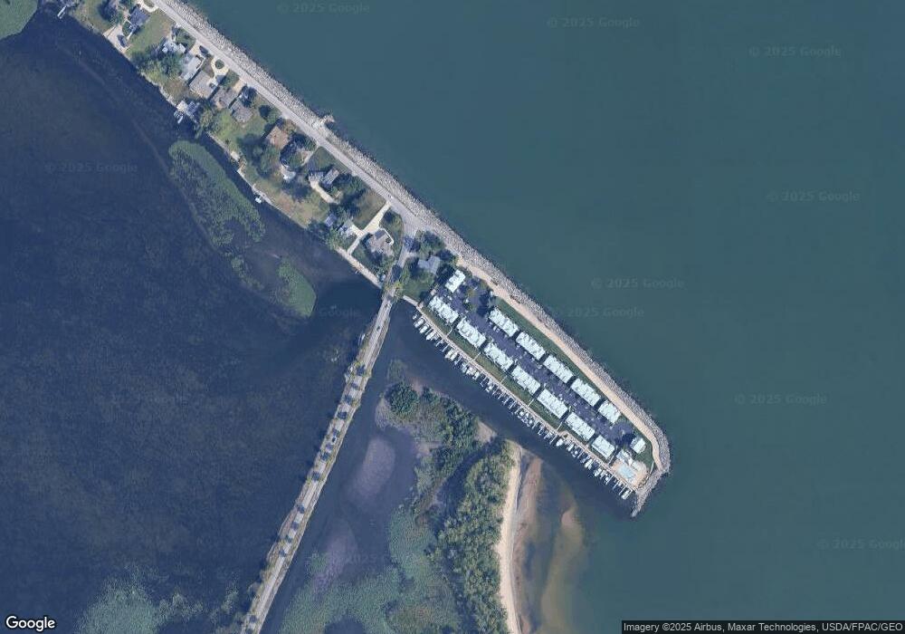
Map
Nearby Homes
- 139 Cedar Point Rd
- 711 Elizabeth Dr
- 0 Turfside Cir
- 21 Turfside Cir
- 3104 Hull Rd
- 939 Cedar Point Rd
- 3050 E Perkins Ave
- 2820 Hinde Ave
- 2816 Hull Rd
- 2815 E Perkins Ave
- 2906 E Perkins Ave
- 3837 Windsor Bridge Cir
- 3119 Laura's Ln
- 3037 Lauras Ln
- 3135 Lauras Ln
- 3132 Lauras Ln
- 3033 Lauras Ln
- 3123 Alexandrias Dr
- 3916 Coventry Ln
- 3912 Coventry Ln
- 35 Cedar Point Rd
- 35 Cedar Point Rd
- 35 Cedar Point Rd
- 35 Cedar Point Rd
- 35 Cedar Point Rd
- 35 Cedar Point Rd Unit B
- 35 Cedar Point Rd Unit F
- 37 Cedar Point Rd
- 37 Cedar Point Rd
- 37 Cedar Point Rd
- 37 Cedar Point Rd
- 33 Cedar Point Rd Unit 33D
- 33 Cedar Point Rd
- 33 Cedar Point Rd
- 33 Cedar Point Rd Unit 33B
- 33 Cedar Point Rd
- 33 Cedar Point Rd Unit C
- 33 Cedar Point Rd Unit 33C
- 39 Cedar Point Rd
- 32 Cedar Point Rd Unit A