35 Cedar Point Rd Sandusky, OH 44870
Estimated Value: $408,493 - $575,000
3
Beds
3
Baths
1,378
Sq Ft
$357/Sq Ft
Est. Value
About This Home
This home is located at 35 Cedar Point Rd, Sandusky, OH 44870 and is currently estimated at $492,623, approximately $357 per square foot. 35 Cedar Point Rd is a home located in Erie County with nearby schools including Sandusky High School.
Ownership History
Date
Name
Owned For
Owner Type
Purchase Details
Closed on
Aug 29, 1997
Sold by
Fay R Rowland Trst
Bought by
Easterday Russell C and Easterday Joan V
Current Estimated Value
Home Financials for this Owner
Home Financials are based on the most recent Mortgage that was taken out on this home.
Original Mortgage
$177,750
Outstanding Balance
$23,464
Interest Rate
5.75%
Mortgage Type
New Conventional
Estimated Equity
$469,159
Create a Home Valuation Report for This Property
The Home Valuation Report is an in-depth analysis detailing your home's value as well as a comparison with similar homes in the area
Purchase History
| Date | Buyer | Sale Price | Title Company |
|---|---|---|---|
| Easterday Russell C | $237,000 | -- |
Source: Public Records
Mortgage History
| Date | Status | Borrower | Loan Amount |
|---|---|---|---|
| Open | Easterday Russell C | $177,750 |
Source: Public Records
Tax History
| Year | Tax Paid | Tax Assessment Tax Assessment Total Assessment is a certain percentage of the fair market value that is determined by local assessors to be the total taxable value of land and additions on the property. | Land | Improvement |
|---|---|---|---|---|
| 2024 | $5,519 | $141,498 | $63,889 | $77,609 |
| 2023 | $5,573 | $103,554 | $52,500 | $51,054 |
| 2022 | $5,249 | $103,558 | $52,500 | $51,058 |
| 2021 | $5,298 | $103,560 | $52,500 | $51,060 |
| 2020 | $4,526 | $81,320 | $52,500 | $28,820 |
| 2019 | $4,654 | $81,320 | $52,500 | $28,820 |
| 2018 | $4,659 | $81,320 | $52,500 | $28,820 |
| 2017 | $4,554 | $79,240 | $52,500 | $26,740 |
| 2016 | $4,552 | $79,240 | $52,500 | $26,740 |
| 2015 | $4,123 | $79,240 | $52,500 | $26,740 |
| 2014 | $3,596 | $69,510 | $42,770 | $26,740 |
| 2013 | $3,560 | $69,510 | $42,770 | $26,740 |
Source: Public Records
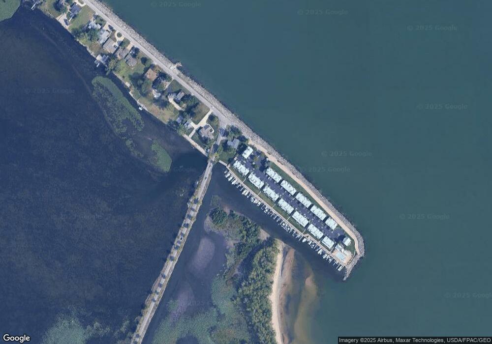
Map
Nearby Homes
- 139 Cedar Point Rd
- 720 Tracht Meadows Dr
- 3110 Gabriels Place
- 0 Turfside Cir
- 21 Turfside Cir
- 3104 Hull Rd
- 2912 Park Ln
- 939 Cedar Point Rd
- 2821 Park Ln
- 526 Mariner Village
- 527 Mariner Village
- 2802 N Bayview Ln
- 2815 E Perkins Ave
- 2906 E Perkins Ave
- 3037 Lauras Ln
- 3135 Lauras Ln
- 3132 Lauras Ln
- 3912 Coventry Ln
- 3125 Alexandrias Dr
- 3014 Angels Pointe Dr
- 35 Cedar Point Rd
- 35 Cedar Point Rd
- 35 Cedar Point Rd
- 35 Cedar Point Rd
- 35 Cedar Point Rd
- 35 Cedar Point Rd Unit B
- 35 Cedar Point Rd Unit F
- 37 Cedar Point Rd
- 37 Cedar Point Rd
- 37 Cedar Point Rd
- 37 Cedar Point Rd
- 33 Cedar Point Rd Unit 33D
- 33 Cedar Point Rd
- 33 Cedar Point Rd
- 33 Cedar Point Rd Unit 33B
- 33 Cedar Point Rd
- 33 Cedar Point Rd Unit C
- 33 Cedar Point Rd Unit 33C
- 39 Cedar Point Rd
- 32 Cedar Point Rd Unit A
Your Personal Tour Guide
Ask me questions while you tour the home.