35 Cedar Point Rd Sandusky, OH 44870
Estimated Value: $435,160 - $575,000
3
Beds
3
Baths
1,368
Sq Ft
$366/Sq Ft
Est. Value
About This Home
This home is located at 35 Cedar Point Rd, Sandusky, OH 44870 and is currently estimated at $501,040, approximately $366 per square foot. 35 Cedar Point Rd is a home located in Erie County with nearby schools including Sandusky High School.
Ownership History
Date
Name
Owned For
Owner Type
Purchase Details
Closed on
Jan 13, 2016
Sold by
Coles Daniel
Bought by
Welsh Mattehw Jay and Welsh Sarah Quiggin
Current Estimated Value
Home Financials for this Owner
Home Financials are based on the most recent Mortgage that was taken out on this home.
Original Mortgage
$194,000
Outstanding Balance
$154,343
Interest Rate
3.97%
Mortgage Type
New Conventional
Estimated Equity
$346,697
Create a Home Valuation Report for This Property
The Home Valuation Report is an in-depth analysis detailing your home's value as well as a comparison with similar homes in the area
Purchase History
| Date | Buyer | Sale Price | Title Company |
|---|---|---|---|
| Welsh Mattehw Jay | $274,000 | Tucker Escrow & Title Svcs |
Source: Public Records
Mortgage History
| Date | Status | Borrower | Loan Amount |
|---|---|---|---|
| Open | Welsh Mattehw Jay | $194,000 |
Source: Public Records
Tax History
| Year | Tax Paid | Tax Assessment Tax Assessment Total Assessment is a certain percentage of the fair market value that is determined by local assessors to be the total taxable value of land and additions on the property. | Land | Improvement |
|---|---|---|---|---|
| 2024 | $5,250 | $138,159 | $63,889 | $74,270 |
| 2023 | $5,371 | $104,433 | $52,500 | $51,933 |
| 2022 | $5,228 | $104,436 | $52,500 | $51,936 |
| 2021 | $5,277 | $104,440 | $52,500 | $51,940 |
| 2020 | $4,513 | $81,840 | $52,500 | $29,340 |
| 2019 | $4,640 | $81,840 | $52,500 | $29,340 |
| 2018 | $4,645 | $81,840 | $52,500 | $29,340 |
| 2017 | $4,481 | $78,580 | $52,500 | $26,080 |
| 2016 | $4,514 | $78,580 | $52,500 | $26,080 |
| 2015 | $4,089 | $78,580 | $52,500 | $26,080 |
| 2014 | $3,561 | $68,850 | $42,770 | $26,080 |
| 2013 | $3,526 | $68,850 | $42,770 | $26,080 |
Source: Public Records
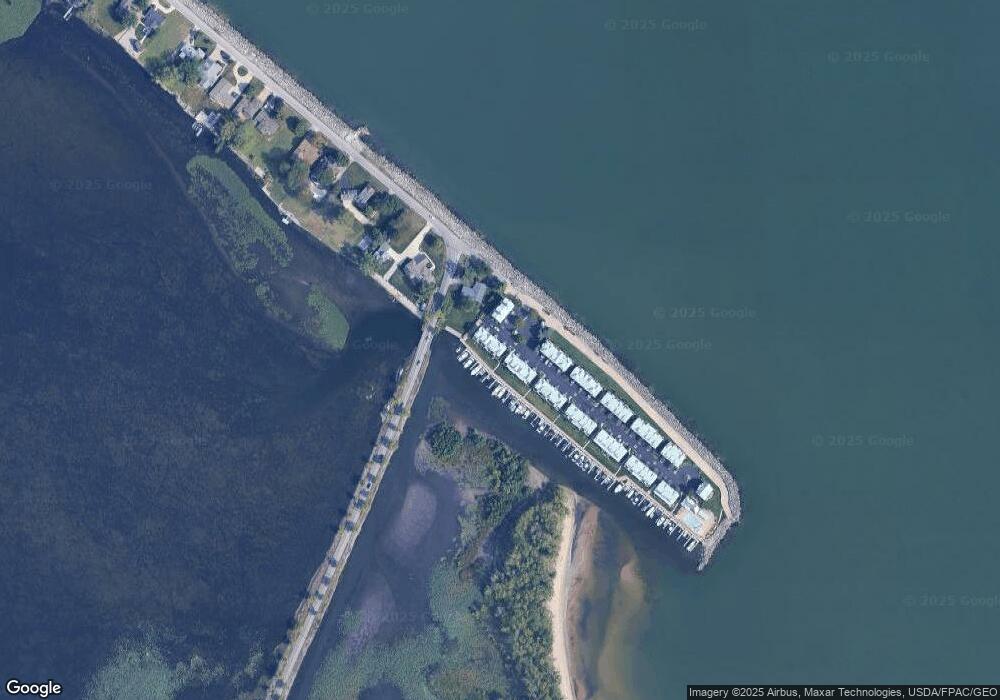
Map
Nearby Homes
- 139 Cedar Point Rd
- 720 Tracht Meadows Dr
- 3110 Gabriels Place
- 0 Turfside Cir
- 21 Turfside Cir
- 3104 Hull Rd
- 2912 Park Ln
- 939 Cedar Point Rd
- 2821 Park Ln
- 526 Mariner Village
- 527 Mariner Village
- 2802 N Bayview Ln
- 2815 E Perkins Ave
- 2906 E Perkins Ave
- 3037 Lauras Ln
- 3135 Lauras Ln
- 3132 Lauras Ln
- 3912 Coventry Ln
- 3125 Alexandrias Dr
- 3014 Angels Pointe Dr
- 35 Cedar Point Rd
- 35 Cedar Point Rd
- 35 Cedar Point Rd
- 35 Cedar Point Rd
- 35 Cedar Point Rd
- 35 Cedar Point Rd Unit B
- 35 Cedar Point Rd Unit F
- 37 Cedar Point Rd
- 37 Cedar Point Rd
- 37 Cedar Point Rd
- 37 Cedar Point Rd
- 33 Cedar Point Rd Unit 33D
- 33 Cedar Point Rd
- 33 Cedar Point Rd
- 33 Cedar Point Rd Unit 33B
- 33 Cedar Point Rd
- 33 Cedar Point Rd Unit C
- 33 Cedar Point Rd Unit 33C
- 39 Cedar Point Rd
- 32 Cedar Point Rd Unit A
Your Personal Tour Guide
Ask me questions while you tour the home.