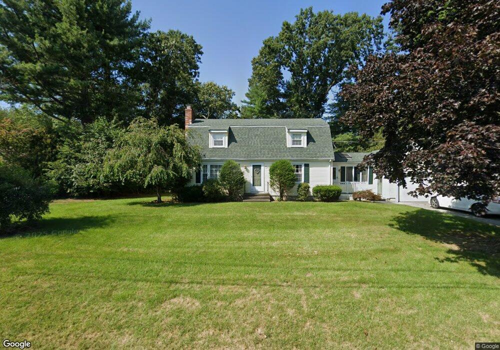
35 Chris Dr North Attleboro, MA 02760
Estimated Value: $603,325 - $759,000
3
Beds
2
Baths
1,792
Sq Ft
$370/Sq Ft
Est. Value
About This Home
This home is located at 35 Chris Dr, North Attleboro, MA 02760 and is currently estimated at $663,331, approximately $370 per square foot. 35 Chris Dr is a home located in Bristol County with nearby schools including North Attleboro High School, Cadence Academy Preschool - North Attleborough, and St John The Evangelist School.
Ownership History
Date
Name
Owned For
Owner Type
Purchase Details
Closed on
Jul 23, 2014
Sold by
Tammany Susan E and Rogers Susan E
Bought by
Edward S Tammany Lt
Current Estimated Value
Purchase Details
Closed on
Mar 31, 1987
Sold by
Coogan Paul A
Bought by
Hunt Daniel A
Home Financials for this Owner
Home Financials are based on the most recent Mortgage that was taken out on this home.
Original Mortgage
$134,400
Interest Rate
9.03%
Mortgage Type
Purchase Money Mortgage
Create a Home Valuation Report for This Property
The Home Valuation Report is an in-depth analysis detailing your home's value as well as a comparison with similar homes in the area
Home Values in the Area
Average Home Value in this Area
Purchase History
| Date | Buyer | Sale Price | Title Company |
|---|---|---|---|
| Edward S Tammany Lt | -- | -- | |
| Hunt Daniel A | $168,000 | -- |
Source: Public Records
Mortgage History
| Date | Status | Borrower | Loan Amount |
|---|---|---|---|
| Previous Owner | Hunt Daniel A | $109,000 | |
| Previous Owner | Hunt Daniel A | $134,400 |
Source: Public Records
Tax History Compared to Growth
Tax History
| Year | Tax Paid | Tax Assessment Tax Assessment Total Assessment is a certain percentage of the fair market value that is determined by local assessors to be the total taxable value of land and additions on the property. | Land | Improvement |
|---|---|---|---|---|
| 2025 | $5,652 | $479,400 | $148,200 | $331,200 |
| 2024 | $5,623 | $487,300 | $148,200 | $339,100 |
| 2023 | $5,452 | $426,300 | $148,200 | $278,100 |
| 2022 | $5,221 | $374,800 | $148,200 | $226,600 |
| 2021 | $5,180 | $363,000 | $148,200 | $214,800 |
| 2020 | $5,120 | $356,800 | $148,200 | $208,600 |
| 2019 | $4,928 | $346,100 | $134,800 | $211,300 |
| 2018 | $4,450 | $333,600 | $134,800 | $198,800 |
| 2017 | $4,410 | $333,600 | $134,800 | $198,800 |
| 2016 | $4,330 | $327,500 | $149,600 | $177,900 |
| 2015 | $4,165 | $317,000 | $149,600 | $167,400 |
| 2014 | $3,956 | $298,800 | $131,400 | $167,400 |
Source: Public Records
Map
Nearby Homes
- 11 Buckthorn Ln
- 115 Westfield Dr
- 21 Shady Ln
- 20 Sperry Ln
- 255 Mckeon Dr
- 196 Donald Tennant Cir
- 747 N Main St
- 678 N Main St
- 57 Vine St
- 10 Hazelwood Ct
- 158 Ivy St
- 11 Landry Ave
- 59 Laurelwood Dr
- 150 Gilbert St
- Lot 2 Jeffrey Dr
- 451R Gilbert St
- Lot 5 Jeffrey Dr
- 71 Richardson Ave
- 29 Lyman St
- 107 Birchwood Dr