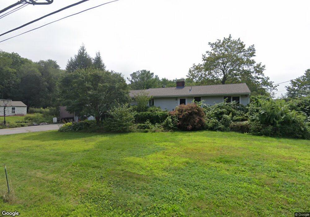
35 Codjer Ln Sudbury, MA 01776
Estimated Value: $726,000 - $836,000
3
Beds
3
Baths
1,364
Sq Ft
$586/Sq Ft
Est. Value
About This Home
This home is located at 35 Codjer Ln, Sudbury, MA 01776 and is currently estimated at $799,628, approximately $586 per square foot. 35 Codjer Ln is a home located in Middlesex County with nearby schools including Israel Loring Elementary School, Ephraim Curtis Middle School, and Lincoln-Sudbury Regional High School.
Ownership History
Date
Name
Owned For
Owner Type
Purchase Details
Closed on
May 24, 1999
Sold by
Beckett Perry A
Bought by
Silsby Robert E and Silsby Jana G
Current Estimated Value
Home Financials for this Owner
Home Financials are based on the most recent Mortgage that was taken out on this home.
Original Mortgage
$215,000
Outstanding Balance
$54,816
Interest Rate
6.88%
Mortgage Type
Purchase Money Mortgage
Estimated Equity
$744,812
Purchase Details
Closed on
Nov 17, 1993
Sold by
Staples Mairi J
Bought by
Beckett Perry A
Home Financials for this Owner
Home Financials are based on the most recent Mortgage that was taken out on this home.
Original Mortgage
$161,250
Interest Rate
6.77%
Mortgage Type
Purchase Money Mortgage
Create a Home Valuation Report for This Property
The Home Valuation Report is an in-depth analysis detailing your home's value as well as a comparison with similar homes in the area
Home Values in the Area
Average Home Value in this Area
Purchase History
| Date | Buyer | Sale Price | Title Company |
|---|---|---|---|
| Silsby Robert E | $291,500 | -- | |
| Beckett Perry A | $215,000 | -- |
Source: Public Records
Mortgage History
| Date | Status | Borrower | Loan Amount |
|---|---|---|---|
| Open | Beckett Perry A | $215,000 | |
| Previous Owner | Beckett Perry A | $161,250 | |
| Previous Owner | Beckett Perry A | $100,000 |
Source: Public Records
Tax History
| Year | Tax Paid | Tax Assessment Tax Assessment Total Assessment is a certain percentage of the fair market value that is determined by local assessors to be the total taxable value of land and additions on the property. | Land | Improvement |
|---|---|---|---|---|
| 2025 | $9,801 | $669,500 | $411,200 | $258,300 |
| 2024 | $9,459 | $647,400 | $399,300 | $248,100 |
| 2023 | $9,519 | $603,600 | $369,600 | $234,000 |
| 2022 | $9,363 | $518,700 | $339,300 | $179,400 |
| 2021 | $9,342 | $496,100 | $339,300 | $156,800 |
| 2020 | $9,153 | $496,100 | $339,300 | $156,800 |
| 2019 | $8,885 | $496,100 | $339,300 | $156,800 |
| 2018 | $8,581 | $478,600 | $361,800 | $116,800 |
| 2017 | $7,940 | $447,600 | $344,100 | $103,500 |
| 2016 | $7,663 | $430,500 | $331,000 | $99,500 |
| 2015 | $7,095 | $403,100 | $318,300 | $84,800 |
| 2014 | $7,075 | $392,400 | $308,900 | $83,500 |
Source: Public Records
Map
Nearby Homes
- 58 Massasoit Ave
- 1011 Boston Post Rd
- 25 Plantation Cir
- 11 Farmstead Ln Unit 11
- 15 Huckleberry Ln
- 46 Brewster Rd
- 192 Boston Post Rd Unit 8
- 173 Nobscot Rd
- 216 Landham Rd
- 10 Brookside Farm Ln
- 15 Adams Rd
- 0 Robbins Rd
- 6 Old County Rd Unit 16
- 30 Rolling Ln
- 8 Twillingate Rd
- 9 Lands End Ln
- 87 Landham Rd
- 0 Wagonwheel Rd
- 427 Concord Rd
- 62 Churchill St
Your Personal Tour Guide
Ask me questions while you tour the home.