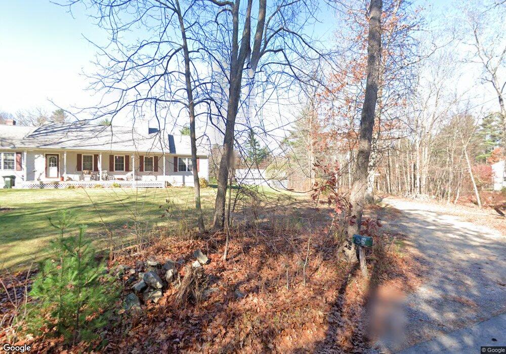
35 Colburn Rd Charlton, MA 01507
Estimated Value: $441,000 - $544,513
2
Beds
1
Bath
1,161
Sq Ft
$433/Sq Ft
Est. Value
About This Home
This home is located at 35 Colburn Rd, Charlton, MA 01507 and is currently estimated at $503,128, approximately $433 per square foot. 35 Colburn Rd is a home located in Worcester County with nearby schools including Shepherd Hill Regional High School.
Create a Home Valuation Report for This Property
The Home Valuation Report is an in-depth analysis detailing your home's value as well as a comparison with similar homes in the area
Home Values in the Area
Average Home Value in this Area
Tax History
| Year | Tax Paid | Tax Assessment Tax Assessment Total Assessment is a certain percentage of the fair market value that is determined by local assessors to be the total taxable value of land and additions on the property. | Land | Improvement |
|---|---|---|---|---|
| 2025 | $4,986 | $448,000 | $238,100 | $209,900 |
| 2024 | $4,872 | $429,600 | $231,100 | $198,500 |
| 2023 | $4,745 | $389,900 | $210,400 | $179,500 |
| 2022 | $4,497 | $338,400 | $185,000 | $153,400 |
| 2021 | $3,817 | $318,900 | $180,800 | $138,100 |
| 2020 | $4,720 | $315,900 | $177,800 | $138,100 |
| 2019 | $4,666 | $315,900 | $177,800 | $138,100 |
| 2018 | $4,265 | $315,900 | $177,800 | $138,100 |
| 2017 | $4,253 | $301,600 | $171,800 | $129,800 |
| 2016 | $4,156 | $301,600 | $171,800 | $129,800 |
| 2015 | $4,047 | $301,600 | $171,800 | $129,800 |
| 2014 | $3,817 | $301,500 | $174,400 | $127,100 |
Source: Public Records
Map
Nearby Homes
- 0 Freeman Rd Unit 73369281
- L2 Partridge Hill Rd
- L3 Partridge Hill Rd
- 2 Lelandville Rd
- 3 Lelandville Rd
- 2 Potter Village Rd
- 0 Blood Rd
- 7 King Rd
- 60 Saundersdale Rd
- 7 L Stevens Rd Unit A
- 7 L Stevens Rd Unit B
- 9 L Stevens Rd Unit B
- 9 L Stevens Rd Unit A
- Lot 3A Sandersdale Rd
- 8 Northside Rd
- 25 N Main St Unit A
- 13 Dolge Ct
- 0 Old Southbridge Rd
- 82 Prince Rd
- 105 Carroll Hill Rd
Your Personal Tour Guide
Ask me questions while you tour the home.