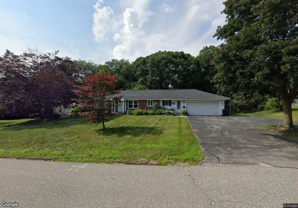
35 Colgate Dr North Andover, MA 01845
Estimated Value: $553,000 - $777,000
3
Beds
2
Baths
1,610
Sq Ft
$424/Sq Ft
Est. Value
About This Home
This home is located at 35 Colgate Dr, North Andover, MA 01845 and is currently estimated at $683,304, approximately $424 per square foot. 35 Colgate Dr is a home located in Essex County with nearby schools including Thomson Elementary School, North Andover Middle School, and North Andover High School.
Ownership History
Date
Name
Owned For
Owner Type
Purchase Details
Closed on
Jun 28, 2000
Sold by
Willis Lawrence S and Willis Kathleen M
Bought by
Ouellette Paul R and Ouellette Claire
Current Estimated Value
Purchase Details
Closed on
Jul 11, 1997
Sold by
Licare Richard C
Bought by
Willis Lawrence S
Create a Home Valuation Report for This Property
The Home Valuation Report is an in-depth analysis detailing your home's value as well as a comparison with similar homes in the area
Home Values in the Area
Average Home Value in this Area
Purchase History
| Date | Buyer | Sale Price | Title Company |
|---|---|---|---|
| Ouellette Paul R | $270,000 | -- | |
| Willis Lawrence S | $232,000 | -- |
Source: Public Records
Mortgage History
| Date | Status | Borrower | Loan Amount |
|---|---|---|---|
| Open | Willis Lawrence S | $89,198 | |
| Open | Willis Lawrence S | $156,800 |
Source: Public Records
Tax History
| Year | Tax Paid | Tax Assessment Tax Assessment Total Assessment is a certain percentage of the fair market value that is determined by local assessors to be the total taxable value of land and additions on the property. | Land | Improvement |
|---|---|---|---|---|
| 2025 | $7,200 | $639,400 | $361,200 | $278,200 |
| 2024 | $6,880 | $620,400 | $342,200 | $278,200 |
| 2023 | $6,618 | $540,700 | $289,000 | $251,700 |
| 2022 | $6,639 | $490,700 | $262,300 | $228,400 |
| 2021 | $6,362 | $449,000 | $237,600 | $211,400 |
| 2020 | $5,981 | $435,300 | $237,600 | $197,700 |
| 2019 | $5,837 | $435,300 | $237,600 | $197,700 |
| 2018 | $6,325 | $435,300 | $237,600 | $197,700 |
| 2017 | $5,354 | $374,900 | $199,000 | $175,900 |
| 2016 | $4,986 | $349,400 | $197,800 | $151,600 |
| 2015 | $4,858 | $337,600 | $190,900 | $146,700 |
Source: Public Records
Map
Nearby Homes
- 129 Moody St
- 12 Walker Rd Unit 6
- 385 Sutton St
- 2 Walker Rd Unit 4
- 148 Main St Unit A508
- 0 Great Pond Rd
- 70-72 Maple Ave Unit 3
- 12 Mill Pond Unit 12
- 28 Patriot St
- 11 W Bradstreet Rd
- 30 Mill Pond Unit 30
- 16 Court St
- 68 Union St
- 115 Mill Pond
- 168 Greene St
- 27 Woodland Ct
- 35 Bonny Ln
- 4 Shawsheen Rd Unit 2
- 52 Howard St
- 7 Stevens Ct
Your Personal Tour Guide
Ask me questions while you tour the home.