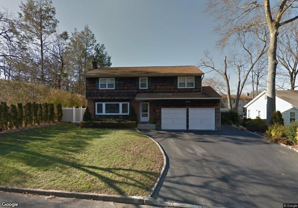
35 Cornehlsen Dr Huntington Station, NY 11746
Estimated Value: $603,035 - $830,000
--
Bed
--
Bath
--
Sq Ft
0.25
Acres
About This Home
This home is located at 35 Cornehlsen Dr, Huntington Station, NY 11746 and is currently estimated at $722,509. 35 Cornehlsen Dr is a home located in Suffolk County with nearby schools including Washington School, Woodhull Intermediate School, and J Taylor Finley Middle School.
Ownership History
Date
Name
Owned For
Owner Type
Purchase Details
Closed on
Feb 8, 2023
Sold by
Puskas Ronald J and Puskas Linda A
Bought by
Puskas Matthew T and Puskas Timothy C
Current Estimated Value
Purchase Details
Closed on
May 6, 2014
Sold by
Puskas Elmer J and Puskas Ronald J
Bought by
Puskas Ronald J and Puskas Linda A
Home Financials for this Owner
Home Financials are based on the most recent Mortgage that was taken out on this home.
Original Mortgage
$705,000
Interest Rate
4.26%
Mortgage Type
Reverse Mortgage Home Equity Conversion Mortgage
Create a Home Valuation Report for This Property
The Home Valuation Report is an in-depth analysis detailing your home's value as well as a comparison with similar homes in the area
Home Values in the Area
Average Home Value in this Area
Purchase History
| Date | Buyer | Sale Price | Title Company |
|---|---|---|---|
| Puskas Matthew T | -- | None Available | |
| Puskas Matthew T | -- | None Available | |
| Puskas Ronald J | -- | -- | |
| Puskas Ronald J | -- | -- |
Source: Public Records
Mortgage History
| Date | Status | Borrower | Loan Amount |
|---|---|---|---|
| Previous Owner | Puskas Ronald J | $705,000 |
Source: Public Records
Tax History Compared to Growth
Tax History
| Year | Tax Paid | Tax Assessment Tax Assessment Total Assessment is a certain percentage of the fair market value that is determined by local assessors to be the total taxable value of land and additions on the property. | Land | Improvement |
|---|---|---|---|---|
| 2024 | $9,719 | $3,450 | $160 | $3,290 |
| 2023 | $4,860 | $3,450 | $160 | $3,290 |
| 2022 | $9,559 | $3,450 | $160 | $3,290 |
| 2021 | $9,461 | $3,450 | $160 | $3,290 |
| 2020 | $9,316 | $3,450 | $160 | $3,290 |
| 2019 | $18,631 | $0 | $0 | $0 |
| 2018 | $9,622 | $3,600 | $160 | $3,440 |
| 2017 | $9,622 | $3,600 | $160 | $3,440 |
| 2016 | $9,502 | $3,600 | $160 | $3,440 |
| 2015 | -- | $3,600 | $160 | $3,440 |
| 2014 | -- | $3,600 | $160 | $3,440 |
Source: Public Records
Map
Nearby Homes
- 12 Foxdale Ct
- 22 Meadowood Ct
- 217 Broadway
- 12 Canyon St
- 634 Park Ave
- 98 Woodhull Rd
- 11 Spring Ct
- 2202 Townhome Way
- 71 Biltmore Cir
- 1 Ashland Dr
- 2 Spring Ct
- 78 Hayloft Ct
- 35 Turtle Cove Ln
- 148 Lenox Rd
- 62 Lowndes Ave
- 26 Townhouse Rd S Unit 26
- 200 Lowndes Ave Unit A
- 280 Lowndes Ave Unit 208
- 280 Lowndes Ave Unit 305G
- 280 Lowndes Ave Unit 111G