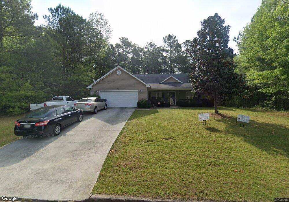
35 Cornus Dr Covington, GA 30016
Estimated Value: $249,374 - $264,000
Studio
2
Baths
1,454
Sq Ft
$177/Sq Ft
Est. Value
About This Home
This home is located at 35 Cornus Dr, Covington, GA 30016 and is currently estimated at $257,594, approximately $177 per square foot. 35 Cornus Dr is a home located in Newton County with nearby schools including Livingston Elementary School, Liberty Middle School, and Alcovy High School.
Ownership History
Date
Name
Owned For
Owner Type
Purchase Details
Closed on
Nov 19, 2021
Sold by
Wyatt Laquista
Bought by
Muckle Valerie
Current Estimated Value
Home Financials for this Owner
Home Financials are based on the most recent Mortgage that was taken out on this home.
Original Mortgage
$150,000
Outstanding Balance
$136,441
Interest Rate
3.09%
Mortgage Type
VA
Estimated Equity
$121,153
Purchase Details
Closed on
Nov 17, 2021
Sold by
Harris Richard
Bought by
Wyatt Laquista
Home Financials for this Owner
Home Financials are based on the most recent Mortgage that was taken out on this home.
Original Mortgage
$150,000
Outstanding Balance
$136,441
Interest Rate
3.09%
Mortgage Type
VA
Estimated Equity
$121,153
Purchase Details
Closed on
Mar 21, 2006
Sold by
Anderson Hm Bldrs Inc
Bought by
Wyatt Laquista
Home Financials for this Owner
Home Financials are based on the most recent Mortgage that was taken out on this home.
Original Mortgage
$6,750
Interest Rate
6.23%
Create a Home Valuation Report for This Property
The Home Valuation Report is an in-depth analysis detailing your home's value as well as a comparison with similar homes in the area
Home Values in the Area
Average Home Value in this Area
Purchase History
| Date | Buyer | Sale Price | Title Company |
|---|---|---|---|
| Muckle Valerie | $150,000 | -- | |
| Wyatt Laquista | -- | -- | |
| Wyatt Laquista | $135,000 | -- |
Source: Public Records
Mortgage History
| Date | Status | Borrower | Loan Amount |
|---|---|---|---|
| Open | Muckle Valerie | $150,000 | |
| Previous Owner | Wyatt Laquista | $6,750 |
Source: Public Records
Tax History
| Year | Tax Paid | Tax Assessment Tax Assessment Total Assessment is a certain percentage of the fair market value that is determined by local assessors to be the total taxable value of land and additions on the property. | Land | Improvement |
|---|---|---|---|---|
| 2025 | $2,446 | $108,840 | $12,000 | $96,840 |
| 2024 | $2,036 | $82,120 | $12,000 | $70,120 |
| 2023 | $1,874 | $70,960 | $6,200 | $64,760 |
| 2022 | $1,576 | $60,240 | $6,200 | $54,040 |
| 2021 | $1,601 | $54,920 | $6,200 | $48,720 |
| 2020 | $1,225 | $40,360 | $4,000 | $36,360 |
| 2019 | $1,234 | $40,080 | $4,000 | $36,080 |
| 2018 | $1,058 | $34,720 | $4,000 | $30,720 |
| 2017 | $539 | $19,600 | $4,000 | $15,600 |
| 2016 | $539 | $19,600 | $4,000 | $15,600 |
| 2015 | $466 | $17,480 | $2,000 | $15,480 |
| 2014 | $466 | $17,480 | $0 | $0 |
Source: Public Records
Map
Nearby Homes
- 10 Barberry Cir
- 0 Tempie Ln
- 711 Highway 162
- 195 Twin Lakes Dr
- 4134 Green Peak Pkwy
- 4446 Sunrise Ridge
- 4180 Green Peak Pkwy
- 195 Cedar Rd
- 55 Twin Lakes Dr
- 25 Shady Oaks Trail
- 125 Shelby Oaks Trail
- 220 Harville Rd
- 240 Harville Rd
- 20 Mountainview Ct Unit 2
- 25 Castlehill Ct
- 115 Mountainview Dr
- 240 Huntington St
- 0 Eleanor Dr Unit 10443925
- 1752 Highway 162
- 35 Knights Cir
Your Personal Tour Guide
Ask me questions while you tour the home.