35 Cranberry Ct Unit 131 Marlton, NJ 08053
Estimated Value: $230,000 - $245,000
2
Beds
1
Bath
1,087
Sq Ft
$220/Sq Ft
Est. Value
About This Home
This home is located at 35 Cranberry Ct Unit 131, Marlton, NJ 08053 and is currently estimated at $238,984, approximately $219 per square foot. 35 Cranberry Ct Unit 131 is a home located in Burlington County with nearby schools including Richard L. Rice Elementary School, Marlton Middle School, and Cherokee High School.
Ownership History
Date
Name
Owned For
Owner Type
Purchase Details
Closed on
Jul 25, 2008
Sold by
Mckenna Sean F and Mckenna Holly
Bought by
Clark Raymond S
Current Estimated Value
Home Financials for this Owner
Home Financials are based on the most recent Mortgage that was taken out on this home.
Original Mortgage
$135,900
Outstanding Balance
$89,806
Interest Rate
6.47%
Mortgage Type
Purchase Money Mortgage
Estimated Equity
$149,178
Purchase Details
Closed on
Dec 28, 2005
Sold by
Manno Vincent
Bought by
Mckenna Sean F
Home Financials for this Owner
Home Financials are based on the most recent Mortgage that was taken out on this home.
Original Mortgage
$151,900
Interest Rate
6.34%
Mortgage Type
Fannie Mae Freddie Mac
Create a Home Valuation Report for This Property
The Home Valuation Report is an in-depth analysis detailing your home's value as well as a comparison with similar homes in the area
Home Values in the Area
Average Home Value in this Area
Purchase History
| Date | Buyer | Sale Price | Title Company |
|---|---|---|---|
| Clark Raymond S | $151,000 | Integrity Title Agency Inc | |
| Mckenna Sean F | $159,900 | Commonwealth Land Title Insu |
Source: Public Records
Mortgage History
| Date | Status | Borrower | Loan Amount |
|---|---|---|---|
| Open | Clark Raymond S | $135,900 | |
| Previous Owner | Mckenna Sean F | $151,900 |
Source: Public Records
Tax History Compared to Growth
Tax History
| Year | Tax Paid | Tax Assessment Tax Assessment Total Assessment is a certain percentage of the fair market value that is determined by local assessors to be the total taxable value of land and additions on the property. | Land | Improvement |
|---|---|---|---|---|
| 2025 | $3,517 | $103,000 | $30,000 | $73,000 |
| 2024 | $3,309 | $103,000 | $30,000 | $73,000 |
| 2023 | $3,309 | $103,000 | $30,000 | $73,000 |
| 2022 | $3,161 | $103,000 | $30,000 | $73,000 |
| 2021 | $3,087 | $103,000 | $30,000 | $73,000 |
| 2020 | $3,047 | $103,000 | $30,000 | $73,000 |
| 2019 | $3,022 | $103,000 | $30,000 | $73,000 |
| 2018 | $2,980 | $103,000 | $30,000 | $73,000 |
| 2017 | $2,945 | $103,000 | $30,000 | $73,000 |
| 2016 | $2,873 | $103,000 | $30,000 | $73,000 |
| 2015 | $2,822 | $103,000 | $30,000 | $73,000 |
| 2014 | $2,742 | $103,000 | $30,000 | $73,000 |
Source: Public Records
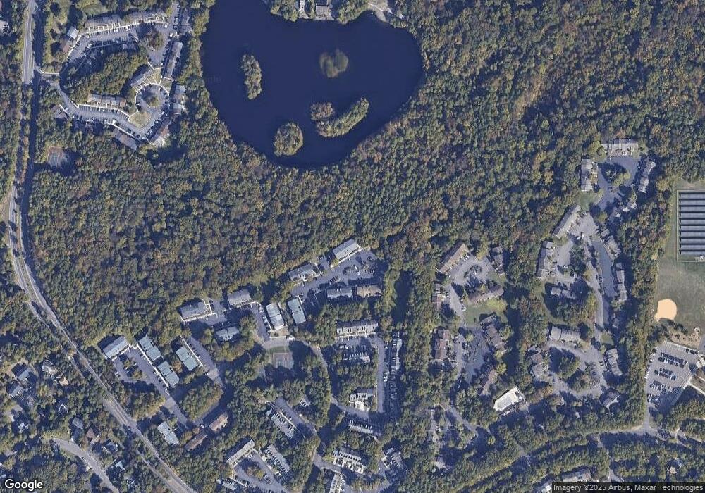
Map
Nearby Homes
- 1004 Mount Vernon Ct
- 20 Sequoia Ct
- 2 Sequoia Ct Unit 2
- 51 Five Crown Royal
- 17 Dorchester Cir
- 12 Adams Ct
- 8 Dartmouth Ct
- 7 Georgian Ct
- 32 Jarrett Ct
- 44 Dorset Ct
- 3 Prince Charles Ct
- 44 Bridgewater Dr
- 6 Summit Ct Unit 226A
- 74 Bridgewater Dr Unit 116B
- 195 Woodlake Dr Unit 192
- 13 Chelsea Ct
- 26 Inverness Cir Unit 26
- 61 Grand Banks Cir Unit 61
- 89 Eldon Way Unit 89
- 9 Links Way
- 31 Cranberry Ct Unit 127
- 27 Cranberry Ct
- 36 Cranberry Ct Unit 132
- 32 Cranberry Ct Unit 128
- 30 Cranberry Ct Unit 156
- 34 Cranberry Ct Unit 130
- 28 Cranberry Ct
- 26 Cranberry Ct Unit 122
- 29 Cranberry Ct Unit 125
- 25 Cranberry Ct
- 33 Cranberry Ct Unit 129
- 57 Cranberry Ct Unit 153
- 48 Cranberry Ct
- 47 Cranberry Ct
- 24 Cranberry Ct Unit 120
- 20 Cranberry Ct Unit 116
- 58 Cranberry Ct Unit 154
- 46 Cranberry Ct Unit 142
- 53 Cranberry Ct Unit 149
- 59 Cranberry Ct Unit 155