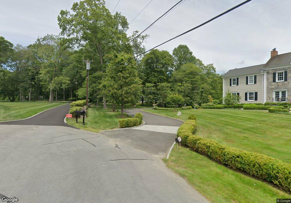
35 Deacons Way New Canaan, CT 06840
Estimated Value: $2,539,000 - $3,159,000
5
Beds
5
Baths
5,418
Sq Ft
$520/Sq Ft
Est. Value
About This Home
This home is located at 35 Deacons Way, New Canaan, CT 06840 and is currently estimated at $2,816,779, approximately $519 per square foot. 35 Deacons Way is a home located in Fairfield County with nearby schools including East Elementary School, Saxe Middle School, and New Canaan High School.
Ownership History
Date
Name
Owned For
Owner Type
Purchase Details
Closed on
Jul 15, 2010
Sold by
American Inatl Reloca
Bought by
Kim Chang Soo and Kim Jennifer
Current Estimated Value
Home Financials for this Owner
Home Financials are based on the most recent Mortgage that was taken out on this home.
Original Mortgage
$1,400,000
Interest Rate
4.87%
Purchase Details
Closed on
Nov 24, 2004
Sold by
Macdougall Robert A and Macdougall Marylee A
Bought by
Shively Hunter S and Shively Jessica J
Home Financials for this Owner
Home Financials are based on the most recent Mortgage that was taken out on this home.
Original Mortgage
$450,000
Interest Rate
4.37%
Create a Home Valuation Report for This Property
The Home Valuation Report is an in-depth analysis detailing your home's value as well as a comparison with similar homes in the area
Home Values in the Area
Average Home Value in this Area
Purchase History
| Date | Buyer | Sale Price | Title Company |
|---|---|---|---|
| Kim Chang Soo | $1,750,000 | -- | |
| American Inatl Reloca | $1,750,000 | -- | |
| Shively Hunter S | $1,934,000 | -- |
Source: Public Records
Mortgage History
| Date | Status | Borrower | Loan Amount |
|---|---|---|---|
| Open | Shively Hunter S | $1,100,000 | |
| Closed | Shively Hunter S | $1,400,000 | |
| Previous Owner | Shively Hunter S | $1,000,000 | |
| Previous Owner | Shively Hunter S | $450,000 |
Source: Public Records
Tax History Compared to Growth
Tax History
| Year | Tax Paid | Tax Assessment Tax Assessment Total Assessment is a certain percentage of the fair market value that is determined by local assessors to be the total taxable value of land and additions on the property. | Land | Improvement |
|---|---|---|---|---|
| 2025 | $20,886 | $1,251,390 | $705,600 | $545,790 |
| 2024 | $20,197 | $1,251,390 | $705,600 | $545,790 |
| 2023 | $19,668 | $1,038,450 | $676,690 | $361,760 |
| 2022 | $19,076 | $1,038,450 | $676,690 | $361,760 |
| 2021 | $18,858 | $1,038,450 | $676,690 | $361,760 |
| 2020 | $18,858 | $1,038,450 | $676,690 | $361,760 |
| 2019 | $18,941 | $1,038,450 | $676,690 | $361,760 |
| 2018 | $20,413 | $1,203,580 | $751,870 | $451,710 |
| 2017 | $20,064 | $1,203,580 | $751,870 | $451,710 |
| 2016 | $19,630 | $1,203,580 | $751,870 | $451,710 |
| 2015 | $19,245 | $1,203,580 | $751,870 | $451,710 |
| 2014 | $18,704 | $1,203,580 | $751,870 | $451,710 |
Source: Public Records
Map
Nearby Homes
- 262 Brushy Ridge Rd
- 49 Ludlowe Rd
- 240 Rosebrook Rd
- 67 Carter St
- 52 Garibaldi Ln
- 145 River St
- 61 Smith Ridge Rd
- 136L Carter St
- 101 Parade Hill Rd
- 140L Carter St
- 114 Ferris Hill Rd
- 289 New Norwalk Rd Unit 22
- 152L Carter St
- 85 Locust Ave Unit 516
- 158L Carter St
- 79 Locust Ave Unit 212
- 250 Carter St
- 96 East Ave Unit C
- 42 Forest St Unit A
- 64 East Ave
- 31 Deacons Way
- 86 Bittersweet Ln
- 38 Deacons Way
- 36 Deacons Way
- 85 Bittersweet Ln
- 388 Brushy Ridge Rd
- 84 Bittersweet Ln
- 390 Brushy Ridge Rd
- 340 Brushy Ridge Rd
- 314 Brushy Ridge Rd
- 83 Bittersweet Ln
- 392 Brushy Ridge Rd
- 78 Bittersweet Ln
- 292 Brushy Ridge Rd
- 372 Brushy Ridge Rd
- 394 Brushy Ridge Rd
- 35 Rosebrook Rd
- 61 Bittersweet Ln
- 57 Rosebrook Rd
- 15 Lone Tree Farm Rd