Estimated Value: $235,729 - $286,000
3
Beds
2
Baths
1,124
Sq Ft
$227/Sq Ft
Est. Value
About This Home
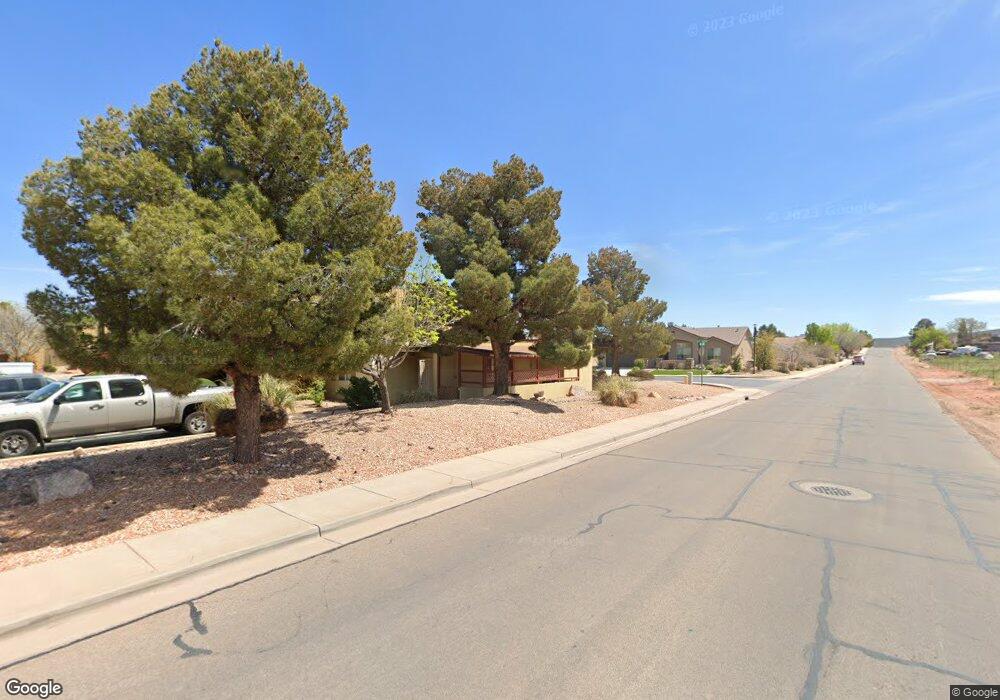
This home is located at 35 E 600 S Unit B104, Ivins, UT 84738 and is currently estimated at $255,432, approximately $227 per square foot. 35 E 600 S Unit B104 is a home located in Washington County with nearby schools including Snow Canyon Middle School, Lava Ridge Intermediate School, and Snow Canyon High School.
Ownership History
Date
Name
Owned For
Owner Type
Purchase Details
Closed on
Apr 3, 2007
Sold by
Knubel Thomas and Perricelli Frances
Bought by
Knubel Thomas and Perricelli Frances
Current Estimated Value
Purchase Details
Closed on
Jul 28, 2006
Sold by
Desert Oasis Properties Lc
Bought by
Knubel Thomas and Perricelli Frances
Purchase Details
Closed on
May 12, 2005
Sold by
Super Michael L
Bought by
Desert Oasis Properties Lc
Create a Home Valuation Report for This Property
The Home Valuation Report is an in-depth analysis detailing your home's value as well as a comparison with similar homes in the area
Home Values in the Area
Average Home Value in this Area
Purchase History
| Date | Buyer | Sale Price | Title Company |
|---|---|---|---|
| Knubel Thomas | -- | Accommodation | |
| Knubel Thomas | -- | Southern Utah Title Co | |
| Desert Oasis Properties Lc | -- | Southern Utah Title Co |
Source: Public Records
Tax History Compared to Growth
Tax History
| Year | Tax Paid | Tax Assessment Tax Assessment Total Assessment is a certain percentage of the fair market value that is determined by local assessors to be the total taxable value of land and additions on the property. | Land | Improvement |
|---|---|---|---|---|
| 2025 | $924 | $133,210 | $33,000 | $100,210 |
| 2023 | $889 | $130,295 | $33,000 | $97,295 |
| 2022 | $930 | $128,260 | $27,500 | $100,760 |
| 2021 | $891 | $182,600 | $50,000 | $132,600 |
| 2020 | $802 | $155,500 | $50,000 | $105,500 |
| 2019 | $668 | $126,700 | $40,000 | $86,700 |
| 2018 | $588 | $57,420 | $0 | $0 |
| 2017 | $545 | $51,755 | $0 | $0 |
| 2016 | $536 | $46,970 | $0 | $0 |
| 2015 | $509 | $43,010 | $0 | $0 |
| 2014 | $489 | $41,470 | $0 | $0 |
Source: Public Records
Map
Nearby Homes
- 29 W Serenity Cir
- 562 S Harmony Cir
- 37 W Serenity Cir
- 76 E 725 S
- 699 S 160 E
- 515 S 250 E
- 191 W 685 S
- 253 United Way
- 300 Main St
- 234 United Way
- 713 S 230 W
- 712 S 230 W Unit 15
- 690 S 230 W Unit (lot 18)
- 635 S 230 W
- 686 S 230 W Unit (lot 19)
- Dearborn Plan at Vista Estates
- 673 S 230 W
- 693 S 230 W
- Daniel II Plan at Vista Estates
- 673 S 230 W Unit (lot 9)
- 35 E 600 S Unit A206
- 35 E 600 S Unit B205
- 35 E 600 S Unit B106
- 35 E 600 S Unit B105
- 35 E 600 S Unit B103
- 35 E 600 S Unit B102
- 35 E 600 S Unit B101
- 35 E 600 S Unit A206
- 35 E 600 S Unit A205
- 35 E 600 S Unit A203
- 35 E 600 S Unit A202
- 35 E 600 S Unit A106
- 35 E 600 S Unit A105
- 35 E 600 S Unit A104
- 35 E 600 S Unit A103
- 35 E 600 S Unit A102
- 35 E 600 S Unit A101
- 35 E 600 S Unit 103A
- 35 E 600 S Unit 206A
- 35 E 600 S Unit 205A