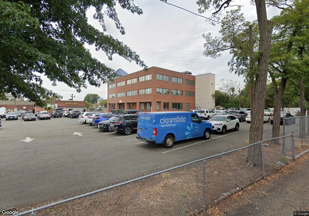
35 E Blancke St Linden, NJ 07036
Estimated Value: $4,030,490
--
Bed
--
Bath
5,000
Sq Ft
$806/Sq Ft
Est. Value
About This Home
This home is located at 35 E Blancke St, Linden, NJ 07036 and is currently estimated at $4,030,490, approximately $806 per square foot. 35 E Blancke St is a home located in Union County with nearby schools including Number 1, Joseph E. Soehl Middle School, and Linden High School.
Ownership History
Date
Name
Owned For
Owner Type
Purchase Details
Closed on
Dec 22, 2016
Sold by
Aba Equities Llc
Bought by
Northwood Avenue Llc
Current Estimated Value
Purchase Details
Closed on
Dec 27, 2010
Sold by
Ajb Residential Realty Enterprises Inc
Bought by
Aba Equities Llc
Home Financials for this Owner
Home Financials are based on the most recent Mortgage that was taken out on this home.
Original Mortgage
$925,000
Interest Rate
4.77%
Mortgage Type
Commercial
Create a Home Valuation Report for This Property
The Home Valuation Report is an in-depth analysis detailing your home's value as well as a comparison with similar homes in the area
Home Values in the Area
Average Home Value in this Area
Purchase History
| Date | Buyer | Sale Price | Title Company |
|---|---|---|---|
| Northwood Avenue Llc | $1,750,000 | Trident Abstract Title Agenc | |
| Aba Equities Llc | $1,325,000 | Old Republic National Title |
Source: Public Records
Mortgage History
| Date | Status | Borrower | Loan Amount |
|---|---|---|---|
| Previous Owner | Aba Equities Llc | $925,000 |
Source: Public Records
Tax History Compared to Growth
Tax History
| Year | Tax Paid | Tax Assessment Tax Assessment Total Assessment is a certain percentage of the fair market value that is determined by local assessors to be the total taxable value of land and additions on the property. | Land | Improvement |
|---|---|---|---|---|
| 2025 | $91,973 | $1,046,100 | $246,100 | $800,000 |
| 2024 | $90,093 | $1,221,100 | $246,100 | $975,000 |
| 2023 | $90,093 | $1,221,100 | $246,100 | $975,000 |
| 2022 | $71,355 | $1,026,100 | $0 | $0 |
| 2021 | $61,909 | $831,100 | $0 | $0 |
| 2020 | $54,930 | $741,100 | $0 | $0 |
| 2019 | $42,937 | $1,221,100 | $246,100 | $975,000 |
| 2018 | $31,107 | $1,221,100 | $246,100 | $975,000 |
| 2017 | $30,483 | $421,100 | $246,100 | $175,000 |
| 2016 | $29,586 | $421,100 | $246,100 | $175,000 |
| 2015 | $28,538 | $421,100 | $246,100 | $175,000 |
| 2014 | $26,976 | $421,100 | $246,100 | $175,000 |
Source: Public Records
Map
Nearby Homes
- 201 Hussa St
- 30 E Henry St
- 28 W Elizabeth Ave Unit A3
- 10 N Wood Ave Unit 706
- 10 N Wood Ave Unit 312
- 10 N Wood Ave Unit 700
- 10 N Wood Ave Unit 214
- 10 N Wood Ave Unit 323
- 428 Brook St
- 307 Hussa St
- 104 E Elizabeth Ave
- 435 Miner Terrace
- 510 E Blancke St
- 505 Knopf St
- 514 E Elm St
- 721 N Wood Ave
- 226 Pennsylvania Railroad Ave
- 725 N Wood Ave
- 534 Monmouth Ave
- 606 Knopf St
- 35 E Blancke St Unit 1st
- 228 N Wood Ave
- 33B Hussa St Unit B-2
- 33 Hussa St
- 37 Hussa St
- 16 E Blancke St Unit 1
- 16 E Blancke St
- 16 E Blancke St Unit 2
- 16 E Blancke St Unit 3
- 18 Hussa St
- 218 N Wood Ave
- 218 N Wood Ave Unit 4
- 24 Hussa St
- 45 Hussa St Unit 3
- 45 Hussa St Unit 10
- 45 Hussa St Unit 14
- 45 Hussa St Unit 24
- 45 Hussa St Unit 23
- 45 Hussa St Unit 15
- 45 Hussa St Unit 16