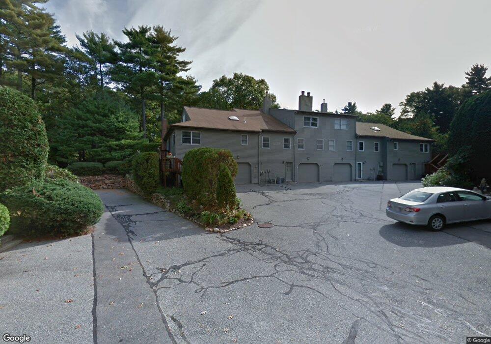
35 E Bluff Rd Unit a,a Ashland, MA 01721
Estimated Value: $508,321 - $553,000
2
Beds
2
Baths
1,500
Sq Ft
$354/Sq Ft
Est. Value
About This Home
This home is located at 35 E Bluff Rd Unit a,a, Ashland, MA 01721 and is currently estimated at $530,580, approximately $353 per square foot. 35 E Bluff Rd Unit a,a is a home located in Middlesex County with nearby schools including William Pittaway Elementary School, Henry E. Warren Elementary School, and David Mindess Elementary School.
Ownership History
Date
Name
Owned For
Owner Type
Purchase Details
Closed on
Jul 17, 2020
Sold by
Lewis Stephen B and Lewis Melanie
Bought by
Chalmers R Scott
Current Estimated Value
Purchase Details
Closed on
Oct 15, 2004
Sold by
Shapiro Claire S and Shapiro Henry
Bought by
Lewis Melanie and Lewis Stephen B
Purchase Details
Closed on
Jun 19, 1997
Sold by
Gallagher Hugh A and Gallagher Marilyn J
Bought by
Shaprio Henry and Shapiro Claire S
Create a Home Valuation Report for This Property
The Home Valuation Report is an in-depth analysis detailing your home's value as well as a comparison with similar homes in the area
Home Values in the Area
Average Home Value in this Area
Purchase History
| Date | Buyer | Sale Price | Title Company |
|---|---|---|---|
| Chalmers R Scott | $385,000 | None Available | |
| Lewis Melanie | $309,200 | -- | |
| Shaprio Henry | $153,000 | -- |
Source: Public Records
Mortgage History
| Date | Status | Borrower | Loan Amount |
|---|---|---|---|
| Previous Owner | Shaprio Henry | $75,000 |
Source: Public Records
Tax History Compared to Growth
Tax History
| Year | Tax Paid | Tax Assessment Tax Assessment Total Assessment is a certain percentage of the fair market value that is determined by local assessors to be the total taxable value of land and additions on the property. | Land | Improvement |
|---|---|---|---|---|
| 2025 | $5,320 | $416,600 | $0 | $416,600 |
| 2024 | $5,029 | $379,800 | $0 | $379,800 |
| 2023 | $5,004 | $363,400 | $0 | $363,400 |
| 2022 | $4,986 | $314,000 | $0 | $314,000 |
| 2021 | $4,618 | $289,892 | $0 | $289,892 |
| 2020 | $4,379 | $271,000 | $0 | $271,000 |
| 2019 | $4,259 | $261,600 | $0 | $261,600 |
| 2018 | $4,136 | $249,000 | $0 | $249,000 |
| 2017 | $4,001 | $239,600 | $0 | $239,600 |
| 2016 | $3,966 | $233,300 | $0 | $233,300 |
| 2015 | $3,862 | $223,224 | $0 | $223,224 |
| 2014 | $3,772 | $216,900 | $0 | $216,900 |
Source: Public Records
Map
Nearby Homes
- 84 E Bluff Rd
- 67 Spyglass Hill Dr
- 306 Trailside Way
- 63 Trailside Way Unit 63
- 2 Adams Rd Unit 2
- 157 Leland Farm Rd
- 1 Adams Rd
- 9 Adams Rd
- 74 Meeting House Path
- 72 Meeting House Path
- 277 Meeting House Path
- 97 Meeting House Path Unit 97
- 45 Half Crown Cir
- 147 Turner Rd Unit 80
- 102 Captain Eames Cir
- 152 Turner Rd Unit 43
- 152 Turner Rd Unit 14
- 76 Algonquin Trail
- 37 James Rd
- 59 Turner Rd
- 29 E Bluff Rd
- 31 E Bluff Rd
- 33 E Bluff Rd
- 35 E Bluff Rd
- 35 E Bluff Rd Unit A,14
- 116 Spyglass Hill Dr
- 21 E Bluff Rd
- 23 E Bluff Rd
- 114 Spyglass Hill Dr
- 116 Spyglass Hill Dr Unit 370,0
- 23 E Bluff Rd Unit 37B
- 27 E Bluff Rd
- 49 E Bluff Rd
- 51 E Bluff Rd
- 25 E Bluff Rd
- 51 E Bluff Rd Unit 51
- 49 E Bluff Rd Unit 49
- 39 E Bluff Rd
- 53 E Bluff Rd
- 55 E Bluff Rd