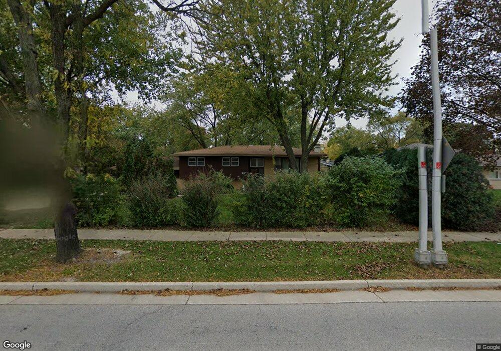
35 E Wise Rd Schaumburg, IL 60193
South Schaumburg NeighborhoodEstimated Value: $413,000 - $446,000
3
Beds
2
Baths
1,315
Sq Ft
$327/Sq Ft
Est. Value
About This Home
This home is located at 35 E Wise Rd, Schaumburg, IL 60193 and is currently estimated at $430,568, approximately $327 per square foot. 35 E Wise Rd is a home located in Cook County with nearby schools including Frederick Nerge Elementary School, Margaret Mead Junior High School, and J B Conant High School.
Ownership History
Date
Name
Owned For
Owner Type
Purchase Details
Closed on
May 8, 2018
Sold by
Yerman Thomas E and Yerman Daniel J
Bought by
Yerman Tim E
Current Estimated Value
Home Financials for this Owner
Home Financials are based on the most recent Mortgage that was taken out on this home.
Original Mortgage
$146,747
Outstanding Balance
$125,536
Interest Rate
4.4%
Mortgage Type
New Conventional
Estimated Equity
$305,032
Purchase Details
Closed on
Feb 16, 2001
Sold by
Popp Louise M
Bought by
Popp Louise M and Louise M Popp Family Living Trust
Purchase Details
Closed on
Aug 23, 1994
Sold by
Harris Bank Roselle
Bought by
Popp Edward J and Popp Louise M
Create a Home Valuation Report for This Property
The Home Valuation Report is an in-depth analysis detailing your home's value as well as a comparison with similar homes in the area
Home Values in the Area
Average Home Value in this Area
Purchase History
| Date | Buyer | Sale Price | Title Company |
|---|---|---|---|
| Yerman Tim E | $144,500 | Old Republic National Title | |
| Popp Louise M | -- | -- | |
| Popp Edward J | -- | -- |
Source: Public Records
Mortgage History
| Date | Status | Borrower | Loan Amount |
|---|---|---|---|
| Open | Yerman Tim E | $146,747 |
Source: Public Records
Tax History
| Year | Tax Paid | Tax Assessment Tax Assessment Total Assessment is a certain percentage of the fair market value that is determined by local assessors to be the total taxable value of land and additions on the property. | Land | Improvement |
|---|---|---|---|---|
| 2025 | $8,035 | $37,000 | $9,000 | $28,000 |
| 2024 | $8,035 | $30,500 | $8,000 | $22,500 |
| 2023 | $7,763 | $32,000 | $8,000 | $24,000 |
| 2022 | $7,763 | $32,000 | $8,000 | $24,000 |
| 2021 | $6,434 | $24,558 | $22,500 | $2,058 |
| 2020 | $6,391 | $24,558 | $22,500 | $2,058 |
| 2019 | $6,395 | $27,287 | $22,500 | $4,787 |
| 2018 | $8,089 | $26,952 | $19,000 | $7,952 |
| 2017 | $3,405 | $26,952 | $19,000 | $7,952 |
| 2016 | $3,956 | $26,952 | $19,000 | $7,952 |
| 2015 | $4,501 | $23,293 | $16,000 | $7,293 |
| 2014 | $4,359 | $23,293 | $16,000 | $7,293 |
| 2013 | $4,348 | $23,293 | $16,000 | $7,293 |
Source: Public Records
Map
Nearby Homes
- 20 Shore Dr
- 1326 Summit Dr
- 207 Mountain Interval Rd Unit 7230
- 240 Warren Ln Unit 11348
- 232 Warren Ln Unit 11546
- 134 Lunt Ave
- 1100 Boston Harbor Unit 7004
- 411 Drake Cir Unit 401B
- 1500 Illinois St
- 100 Pratt Blvd
- 235 Quincy Ct
- 1064 Hampton Harbor Unit 1064
- 518 E Niagara Ave
- 1630 Myrtle Park St
- 1055 Hampton Harbor Unit 1055
- 733 Limerick Ln Unit 7333D
- 717 Killarney Ct Unit 2D
- 725 Limerick Ln Unit 2-B
- 829 Sienna Dr
- 620 S Point Dr
- 105 E Wise Rd
- 31 E Wise Rd
- 1217 Indian Hill Dr
- 111 E Wise Rd
- 1223 Indian Hill Dr
- 1208 Indian Hill Dr
- 1216 Laurel Ln
- 1222 Laurel Ln
- 1132 Tyler Dr
- 1208 Laurel Ln
- 1227 Indian Hill Dr
- 1216 Indian Hill Dr
- 15 E Wise Rd
- 1228 Laurel Ln
- 1128 Tyler Dr
- 1222 Indian Hill Dr
- 1129 Tyler Dr
- 1233 Indian Hill Dr
- 1124 Tyler Dr
- 1234 Laurel Ln
Your Personal Tour Guide
Ask me questions while you tour the home.