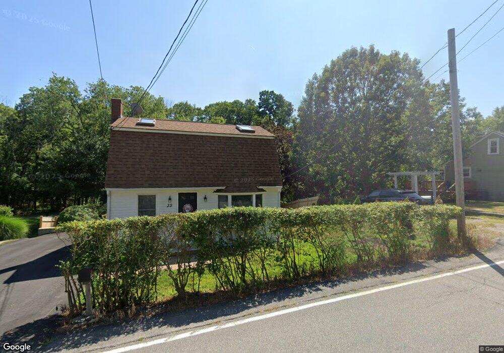
35 Eliot Rd Kittery, ME 03904
Estimated Value: $416,000 - $485,000
About This Home
This home is located at 35 Eliot Rd, Kittery, ME 03904 and is currently estimated at $449,252, approximately $479 per square foot. 35 Eliot Rd is a home located in York County with nearby schools including Shapleigh School, Horace Mitchell Primary School, and Robert W Traip Academy.
Ownership History
We collect this data history from publicly available records. To have your information removed, we recommend requesting removal directly through your county’s website.
Purchase Details
Purchase Details
Purchase Details
Home Financials for this Owner
Home Financials are based on the most recent Mortgage that was taken out on this home.Home Values in the Area
Average Home Value in this Area
Purchase History
We collect this data history from publicly available records. To have your information removed, we recommend requesting removal directly through your county’s website.
| Date | Buyer | Sale Price | Title Company |
|---|---|---|---|
| -- | -- | ||
| -- | -- | ||
| -- | -- |
Mortgage History
We collect this data history from publicly available records. To have your information removed, we recommend requesting removal directly through your county’s website.
| Date | Status | Borrower | Loan Amount |
|---|---|---|---|
| Previous Owner | $158,400 | ||
| Previous Owner | $39,600 |
Tax History
We collect this data history from publicly available records. To have your information removed, we recommend requesting removal directly through your county’s website.
| Year | Tax Paid | Tax Assessment Tax Assessment Total Assessment is a certain percentage of the fair market value that is determined by local assessors to be the total taxable value of land and additions on the property. | Land | Improvement |
|---|---|---|---|---|
| 2025 | $3,804 | $409,500 | $260,100 | $149,400 |
| 2024 | $3,461 | $243,700 | $127,000 | $116,700 |
| 2023 | $3,317 | $243,700 | $127,000 | $116,700 |
| 2022 | $3,285 | $243,700 | $127,000 | $116,700 |
| 2021 | $3,168 | $243,700 | $127,000 | $116,700 |
| 2020 | $3,144 | $243,700 | $127,000 | $116,700 |
| 2019 | $2,767 | $159,000 | $52,500 | $106,500 |
| 2018 | $2,551 | $159,000 | $52,500 | $106,500 |
| 2017 | $2,600 | $159,000 | $52,500 | $106,500 |
| 2016 | $2,552 | $159,000 | $52,500 | $106,500 |
| 2015 | $2,492 | $159,000 | $52,500 | $106,500 |
| 2014 | $2,468 | $159,000 | $52,500 | $106,500 |
| 2013 | $2,420 | $159,000 | $52,500 | $106,500 |
Map
- 7 Cove Landing
- 10 Bayview Ln
- 30-3 Regency Cir Unit 3
- 30 U S 1 Bypass
- 27 Oak Terrace
- 25 Oak Terrace
- 19 Bridge St Unit 1
- 19 Bridge St Unit 3
- 19 Bridge St Unit 6
- 30 Bridge St
- 47 Concord Way
- 4 Spring Ln
- 11 Carriage Hill Rd Unit B
- 31 Main St
- 189 Concord Way
- 17 Commercial St
- 187 Raleigh Way
- 35 Badgers Island W Unit 203
- 35 Badgers Island W Unit 301
- 35 Badgers Island W Unit 302
Ask me questions while you tour the home.