35 Fern Brook Cir Canton, MA 02021
Estimated Value: $1,182,832 - $1,466,000
4
Beds
3
Baths
3,254
Sq Ft
$398/Sq Ft
Est. Value
About This Home
This home is located at 35 Fern Brook Cir, Canton, MA 02021 and is currently estimated at $1,295,708, approximately $398 per square foot. 35 Fern Brook Cir is a home located in Norfolk County with nearby schools including Canton High School, St. John the Evangelist School, and Chabad Day School of School.
Ownership History
Date
Name
Owned For
Owner Type
Purchase Details
Closed on
Apr 9, 1999
Sold by
Dowling Michael
Bought by
Kim In H and Kim Jung S
Current Estimated Value
Home Financials for this Owner
Home Financials are based on the most recent Mortgage that was taken out on this home.
Original Mortgage
$150,000
Outstanding Balance
$37,320
Interest Rate
6.83%
Mortgage Type
Purchase Money Mortgage
Estimated Equity
$1,258,388
Create a Home Valuation Report for This Property
The Home Valuation Report is an in-depth analysis detailing your home's value as well as a comparison with similar homes in the area
Home Values in the Area
Average Home Value in this Area
Purchase History
| Date | Buyer | Sale Price | Title Company |
|---|---|---|---|
| Kim In H | $389,000 | -- |
Source: Public Records
Mortgage History
| Date | Status | Borrower | Loan Amount |
|---|---|---|---|
| Open | Kim In H | $150,000 |
Source: Public Records
Tax History Compared to Growth
Tax History
| Year | Tax Paid | Tax Assessment Tax Assessment Total Assessment is a certain percentage of the fair market value that is determined by local assessors to be the total taxable value of land and additions on the property. | Land | Improvement |
|---|---|---|---|---|
| 2025 | $11,459 | $1,158,600 | $370,000 | $788,600 |
| 2024 | $11,112 | $1,114,500 | $355,800 | $758,700 |
| 2023 | $10,656 | $1,008,100 | $355,800 | $652,300 |
| 2022 | $10,543 | $928,900 | $338,800 | $590,100 |
| 2021 | $10,332 | $846,900 | $308,000 | $538,900 |
| 2020 | $9,949 | $813,500 | $293,400 | $520,100 |
| 2019 | $9,910 | $799,200 | $266,600 | $532,600 |
| 2018 | $9,626 | $775,000 | $256,400 | $518,600 |
| 2017 | $9,801 | $766,300 | $251,400 | $514,900 |
| 2016 | $9,641 | $753,800 | $245,200 | $508,600 |
| 2015 | $9,402 | $733,400 | $238,100 | $495,300 |
Source: Public Records
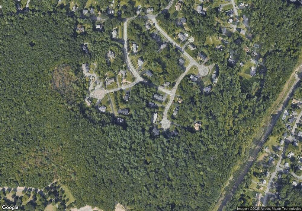
Map
Nearby Homes
- 84 Walpole St Unit 1C
- 84 Walpole St Unit 6E
- 59 Walpole St Unit 115
- 25 Norfolk St
- 12 Concord Ave
- 356 Neponset St Unit E
- 354 Neponset St Unit M
- 71 High St
- 251 Neponset St Unit 3
- 360 Neponset St Unit 605
- 85 Neponset St Unit 85
- 83 Neponset St Unit 83
- 399 Neponset St Unit 311
- 399 Neponset St Unit 210
- 399 Neponset St Unit 412
- 399 Neponset St Unit 104
- 200 Revere St Unit 305
- 17 Neponset St Unit A
- 30 Coppersmith Way Unit 213
- 30 Coppersmith Way Unit 107
- 45 Warner Way
- 45 Fern Brook Cir
- 45 Fern Brook Cir Unit 45
- 10 Skyline Cir
- 20 Skyline Cir
- 55 Fern Brook Cir
- 30 Fern Brook Cir
- 15 Fern Brook Cir
- 30 Skyline Cir
- 20 Fern Brook Cir
- 40 Warner Way
- 50 Fern Brook Cir
- 5 Skyline Cir
- 40 Fern Brook Cir
- 30 Warner Way
- 40 Skyline Cir
- 15 Skyline Cir
- 45 Knob Hill Cir
- 35 Knob Hill Cir
- 25 Knob Hill Cir