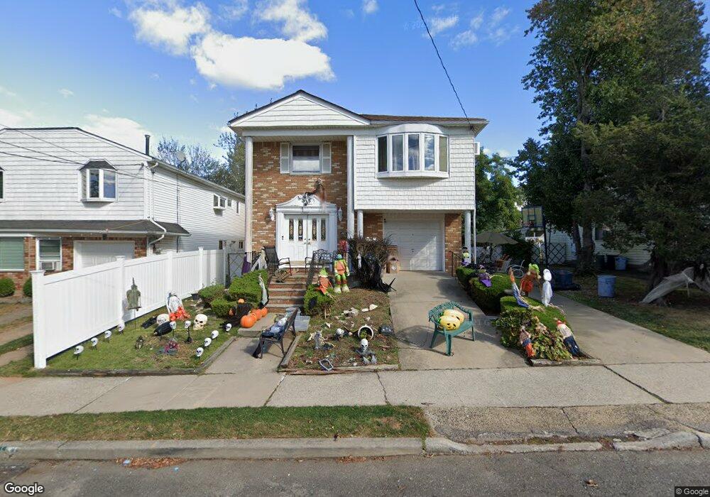
35 Fields Ave Staten Island, NY 10314
Willowbrook NeighborhoodEstimated Value: $992,143 - $1,258,000
5
Beds
4
Baths
2,354
Sq Ft
$496/Sq Ft
Est. Value
About This Home
This home is located at 35 Fields Ave, Staten Island, NY 10314 and is currently estimated at $1,167,536, approximately $495 per square foot. 35 Fields Ave is a home located in Richmond County with nearby schools including P.S. 54 Charles W Leng, Is 72 Rocco Laurie, and Susan E Wagner High School.
Ownership History
Date
Name
Owned For
Owner Type
Purchase Details
Closed on
Oct 5, 2021
Sold by
Antoinette Nardi Irrevocable Trust and Mills Jennifer
Bought by
Mills Joseph and Mills Jennifer
Current Estimated Value
Purchase Details
Closed on
Jul 2, 2019
Sold by
Nardi Antoinette
Bought by
Mills Jennifer and Mills Joseph
Purchase Details
Closed on
Aug 10, 2005
Sold by
Lubitsch Mitchell and Lubitsch Myra
Bought by
Nardi Antoinette
Create a Home Valuation Report for This Property
The Home Valuation Report is an in-depth analysis detailing your home's value as well as a comparison with similar homes in the area
Home Values in the Area
Average Home Value in this Area
Purchase History
| Date | Buyer | Sale Price | Title Company |
|---|---|---|---|
| Mills Joseph | -- | None Listed On Document | |
| Mills Jennifer | -- | None Available | |
| Nardi Antoinette | $655,000 | None Available |
Source: Public Records
Tax History
| Year | Tax Paid | Tax Assessment Tax Assessment Total Assessment is a certain percentage of the fair market value that is determined by local assessors to be the total taxable value of land and additions on the property. | Land | Improvement |
|---|---|---|---|---|
| 2025 | $10,235 | $61,440 | $13,700 | $47,740 |
| 2024 | $10,235 | $59,760 | $13,405 | $46,355 |
| 2019 | $3,783 | $54,780 | $15,720 | $39,060 |
| 2018 | $3,588 | $41,671 | $12,622 | $29,049 |
| 2017 | $3,361 | $39,314 | $15,305 | $24,009 |
| 2016 | $3,133 | $37,560 | $15,720 | $21,840 |
| 2015 | $2,787 | $37,185 | $12,245 | $24,940 |
| 2014 | $2,787 | $35,389 | $11,654 | $23,735 |
Source: Public Records
Map
Nearby Homes
- 288 Martin Ave
- 953 Forest Hill Rd
- 566 Buchanan Ave Unit B
- 566 Buchanan Ave
- 755 Woolley Ave
- 753 Woolley Ave
- 770 Woolley Ave
- 24 Larrison Loop
- 245 Martin Ave
- 16 Ismay St
- 296 Bradley Ave
- 898 Westwood Ave
- 355 Bradley Ave
- 309 Brielle Ave
- 619 Ingram Ave
- 19 Roosevelt Ave
- 225 Wellbrook Ave
- 192 Graves St
- 0 Roosevelt Ave
- 155 Graves St
Your Personal Tour Guide
Ask me questions while you tour the home.