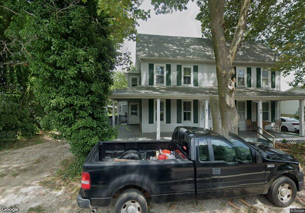
35 Fortescue Rd Newport, NJ 08345
Estimated Value: $74,000 - $315,000
--
Bed
--
Bath
2,839
Sq Ft
$69/Sq Ft
Est. Value
About This Home
This home is located at 35 Fortescue Rd, Newport, NJ 08345 and is currently estimated at $194,500, approximately $68 per square foot. 35 Fortescue Rd is a home located in Cumberland County with nearby schools including Downe Township Elementary School.
Ownership History
Date
Name
Owned For
Owner Type
Purchase Details
Closed on
Jun 11, 2021
Sold by
Obamije Harry
Bought by
35 Fortescue Rd Llc
Current Estimated Value
Purchase Details
Closed on
Apr 26, 2021
Sold by
Castle 2020 Llc
Bought by
Harry Obamije
Purchase Details
Closed on
Apr 14, 2021
Sold by
Castle 2020 Llc
Bought by
Obamije Harry
Purchase Details
Closed on
Jul 28, 2020
Sold by
Hsbc Bank Usa Na Tr
Bought by
Castle Llc
Purchase Details
Closed on
Apr 23, 2019
Sold by
Hsbc Bank Usa Na
Bought by
Marko Daniel J and Marko Laura F
Purchase Details
Closed on
Sep 29, 2006
Sold by
Willis David L and Willis Marion J
Bought by
Marko Daniel
Create a Home Valuation Report for This Property
The Home Valuation Report is an in-depth analysis detailing your home's value as well as a comparison with similar homes in the area
Home Values in the Area
Average Home Value in this Area
Purchase History
| Date | Buyer | Sale Price | Title Company |
|---|---|---|---|
| 35 Fortescue Rd Llc | -- | Investors Title | |
| 35 Fortescue Rd Llc | -- | None Listed On Document | |
| Harry Obamije | $37,000 | None Available | |
| Obamije Harry | $37,900 | Investors Title | |
| Obamije Harry | $37,900 | None Listed On Document | |
| Castle Llc | $18,680 | None Available | |
| Marko Daniel J | -- | -- | |
| Marko Daniel | $204,000 | -- |
Source: Public Records
Tax History Compared to Growth
Tax History
| Year | Tax Paid | Tax Assessment Tax Assessment Total Assessment is a certain percentage of the fair market value that is determined by local assessors to be the total taxable value of land and additions on the property. | Land | Improvement |
|---|---|---|---|---|
| 2025 | $5,788 | $200,700 | $30,000 | $170,700 |
| 2024 | $5,788 | $200,700 | $30,000 | $170,700 |
| 2023 | $5,278 | $200,700 | $30,000 | $170,700 |
| 2022 | $5,146 | $200,700 | $30,000 | $170,700 |
| 2021 | $4,899 | $200,700 | $30,000 | $170,700 |
| 2020 | $4,827 | $200,700 | $30,000 | $170,700 |
| 2019 | $4,747 | $200,700 | $30,000 | $170,700 |
| 2018 | $4,809 | $200,700 | $30,000 | $170,700 |
| 2017 | $4,618 | $200,700 | $30,000 | $170,700 |
| 2016 | $4,614 | $200,700 | $30,000 | $170,700 |
| 2015 | $4,327 | $200,700 | $30,000 | $170,700 |
| 2014 | $4,008 | $200,700 | $30,000 | $170,700 |
Source: Public Records
Map
Nearby Homes
- 13 Hall St
- 184 Landing Rd
- 91 Landis Ave
- 281 Fortescue Rd
- 442 Shaws Mill Rd
- 0 Relm Ave Unit NJCB2022890
- 0 Keln Ave Unit NJCB2022904
- 554 Old Beaver Dam Rd
- 297 Factory Rd
- 395 Main St
- 377 Main St
- 73 Maple Ave
- 348 Main St
- 0 Lawn Ave Unit NJCB2022888
- 0 Lawn Ave Unit NJCB2022906
- 0 Forn Unit NJCB2022896
- 0 W Forn Unit NJCB2022892
- 0 Nark-Lawn Ave Unit NJCB2022900
- 0 Nark-Lawn Ave Unit NJCB2022902
- 0 Nark-Lawn Ave Unit NJCB2022898
- 5 Fortescue Rd
- 3 Fortescue Rd
- 7 Fortescue Rd
- 6 Fortescue Rd
- 11 Fortescue Rd
- 294 Landing Rd Unit 296
- 306 Baptist Rd
- 301 Baptist Rd
- 12 Fortescue Rd
- 297 Landing Rd
- 297 Landing Rd Unit 299
- 307 Baptist Rd
- 13 Fortescue Rd
- 310 Methodist Rd
- 292 Landing Rd
- 309 Baptist Rd
- 0 Fortescue Rd Unit 356222
- 0 Fortescue Rd Unit 5922828
- 0 Fortescue Rd Unit 1004772505
- 0 Fortescue Rd Unit 1009322670