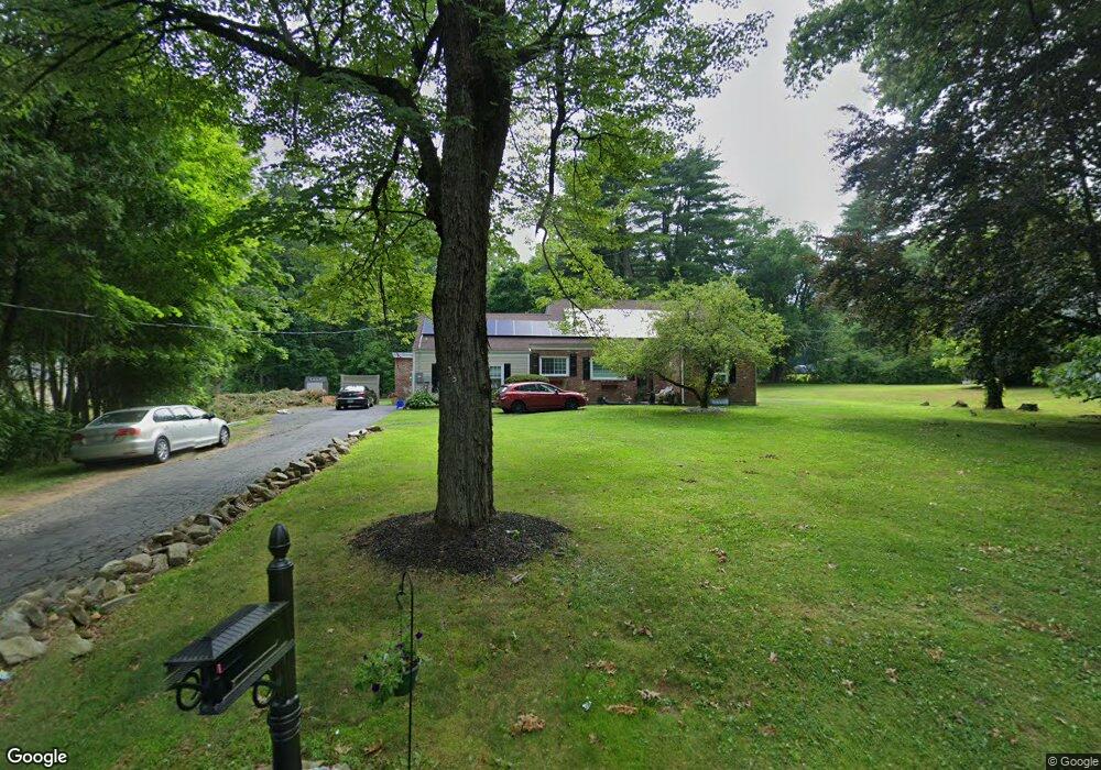
35 Gabb Rd Bloomfield, CT 06002
Estimated Value: $348,000 - $452,000
3
Beds
2
Baths
2,512
Sq Ft
$165/Sq Ft
Est. Value
About This Home
This home is located at 35 Gabb Rd, Bloomfield, CT 06002 and is currently estimated at $414,352, approximately $164 per square foot. 35 Gabb Rd is a home located in Hartford County with nearby schools including Laurel School, Carmen Arace Intermediate School, and Metacomet School.
Ownership History
Date
Name
Owned For
Owner Type
Purchase Details
Closed on
Dec 23, 2008
Sold by
Conn General Life Ins
Bought by
Sutton Kimberly
Current Estimated Value
Home Financials for this Owner
Home Financials are based on the most recent Mortgage that was taken out on this home.
Original Mortgage
$124,250
Outstanding Balance
$82,658
Interest Rate
6.27%
Mortgage Type
Purchase Money Mortgage
Estimated Equity
$331,694
Create a Home Valuation Report for This Property
The Home Valuation Report is an in-depth analysis detailing your home's value as well as a comparison with similar homes in the area
Home Values in the Area
Average Home Value in this Area
Purchase History
| Date | Buyer | Sale Price | Title Company |
|---|---|---|---|
| Sutton Kimberly | $177,500 | -- | |
| Sutton Kimberly | $177,500 | -- |
Source: Public Records
Mortgage History
| Date | Status | Borrower | Loan Amount |
|---|---|---|---|
| Open | Sutton Kimberly | $124,250 | |
| Closed | Sutton Kimberly | $124,250 |
Source: Public Records
Tax History
| Year | Tax Paid | Tax Assessment Tax Assessment Total Assessment is a certain percentage of the fair market value that is determined by local assessors to be the total taxable value of land and additions on the property. | Land | Improvement |
|---|---|---|---|---|
| 2025 | $9,757 | $260,190 | $53,690 | $206,500 |
| 2024 | $6,238 | $158,960 | $44,930 | $114,030 |
| 2023 | $6,125 | $158,960 | $44,930 | $114,030 |
| 2022 | $5,727 | $158,960 | $44,930 | $114,030 |
| 2021 | $5,854 | $158,960 | $44,930 | $114,030 |
| 2020 | $5,764 | $158,960 | $44,930 | $114,030 |
| 2019 | $6,145 | $158,960 | $44,930 | $114,030 |
| 2018 | $5,596 | $144,900 | $47,600 | $97,300 |
| 2017 | $5,587 | $144,900 | $47,600 | $97,300 |
| 2016 | $5,455 | $144,900 | $47,600 | $97,300 |
| 2015 | $5,354 | $144,900 | $47,600 | $97,300 |
| 2014 | $5,899 | $165,060 | $43,960 | $121,100 |
Source: Public Records
Map
Nearby Homes
- 79 Prospect St
- 81 Silo Way Unit 81
- 170 Thistle Pond Dr Unit 170
- 162 Thistle Pond Dr
- 108 Woodland Ave
- 5 Candlewood Dr
- 12 Filley St
- 8 Eaton Cir Unit 8
- 17 Harwich Ln Unit 17
- 256 Park Ave
- 159 School St
- 31 Sutton Place
- 55 Timberwood Rd
- 83 Sutton Place Unit 83
- 25 Hilldale Rd
- 38 Sutton Place Unit 38
- 111 Sutton Place Unit 111
- 30 Biltmore Park Unit 30
- 133 Still Rd
- 30 Vista Way