35 Garrison Cove Rd Bailey Island, ME 04003
Harpswell NeighborhoodEstimated Value: $630,000 - $971,000
2
Beds
2
Baths
1,202
Sq Ft
$706/Sq Ft
Est. Value
About This Home
This home is located at 35 Garrison Cove Rd, Bailey Island, ME 04003 and is currently estimated at $848,702, approximately $706 per square foot. 35 Garrison Cove Rd is a home with nearby schools including Mt Ararat High School.
Ownership History
Date
Name
Owned For
Owner Type
Purchase Details
Closed on
May 7, 2015
Sold by
Washburn Karen W and Washburn 3Rd James M
Bought by
Redinger Ft
Current Estimated Value
Home Financials for this Owner
Home Financials are based on the most recent Mortgage that was taken out on this home.
Original Mortgage
$307,500
Outstanding Balance
$176,715
Interest Rate
3.69%
Mortgage Type
New Conventional
Estimated Equity
$671,987
Create a Home Valuation Report for This Property
The Home Valuation Report is an in-depth analysis detailing your home's value as well as a comparison with similar homes in the area
Home Values in the Area
Average Home Value in this Area
Purchase History
| Date | Buyer | Sale Price | Title Company |
|---|---|---|---|
| Redinger Ft | -- | -- |
Source: Public Records
Mortgage History
| Date | Status | Borrower | Loan Amount |
|---|---|---|---|
| Open | Redinger Ft | $307,500 |
Source: Public Records
Tax History Compared to Growth
Tax History
| Year | Tax Paid | Tax Assessment Tax Assessment Total Assessment is a certain percentage of the fair market value that is determined by local assessors to be the total taxable value of land and additions on the property. | Land | Improvement |
|---|---|---|---|---|
| 2024 | $3,553 | $558,600 | $358,900 | $199,700 |
| 2023 | $3,407 | $558,600 | $358,900 | $199,700 |
| 2022 | $3,296 | $558,600 | $358,900 | $199,700 |
| 2021 | $2,926 | $432,800 | $270,200 | $162,600 |
| 2020 | $2,917 | $432,800 | $270,200 | $162,600 |
| 2019 | $2,900 | $432,800 | $270,200 | $162,600 |
| 2018 | $2,805 | $432,800 | $270,200 | $162,600 |
| 2017 | $2,796 | $432,800 | $270,200 | $162,600 |
| 2016 | $2,770 | $432,800 | $270,200 | $162,600 |
| 2015 | $2,701 | $432,800 | $270,200 | $162,600 |
| 2013 | $2,502 | $432,800 | $270,200 | $162,600 |
Source: Public Records
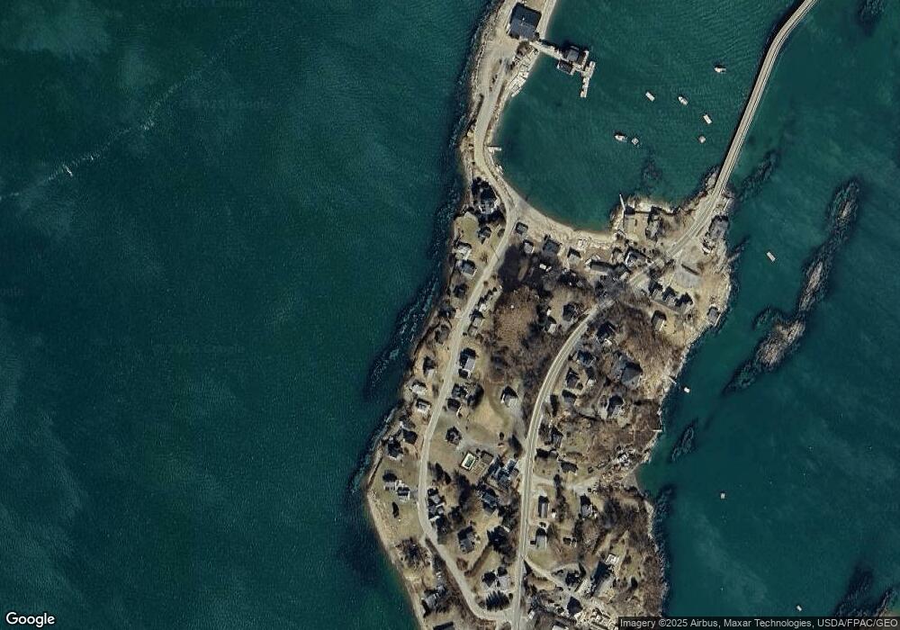
Map
Nearby Homes
- 30 Osbourne Row
- 10 Irene Ave
- 10 S Colony Branch Rd
- 87 Lowells Cove Rd
- 1689 Harpswell Islands Rd
- 16 Ash Point Rd Unit 16
- 18 Ash Point Rd
- 19 Hugh Ave
- 8 & 2 Kane Ln
- 6 Kane Ln
- 1450 Harpswell Neck Rd
- 1 Mallard Pond Rd
- 0 Bayview Rd Unit 2 1632776
- 41 Spruce Brook Dr
- Lot 2A Allen Point Rd
- Lot 2B Allen Point Rd
- 21 Spring Hill Rd
- Lot 129 Harpswell Neck Rd
- lot C Long Point Rd
- 11 Orion Point Way
- 33 Garrison Cove Rd
- 39 Garrison Cove Rd
- 40 Garrison Cove Rd
- 31 Garrison Cove Rd
- 42 Garrison Cove Rd
- 36 Garrison Cove Rd
- 44 Garrison Cove Rd
- 27 Garrison Cove Rd
- 1980 Harpswell Islands Rd
- 47 Garrison Cove Rd
- 46 Garrison Cove Rd
- 25 Garrison Cove Rd
- 30 Garrison Cove Rd
- 25 Garrison Cove Rd
- 49 Garrison Cove Rd
- 21 Garrison Cove Rd
- 51 Garrison Cove Rd
- 1984 Harpswell Island Rd
- 1984 Harpswell Islands Rd
- 4 Wentworth Ln